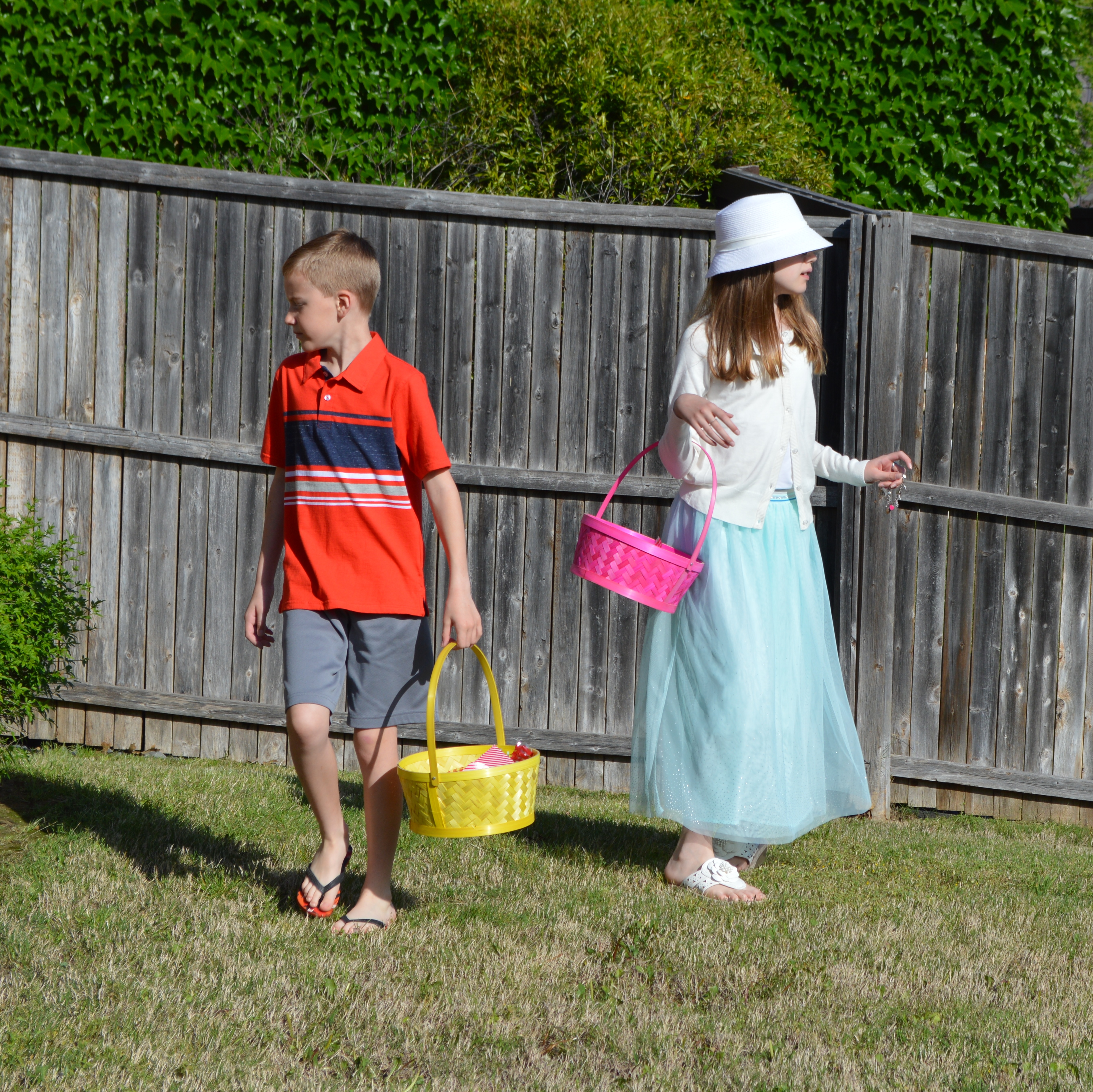
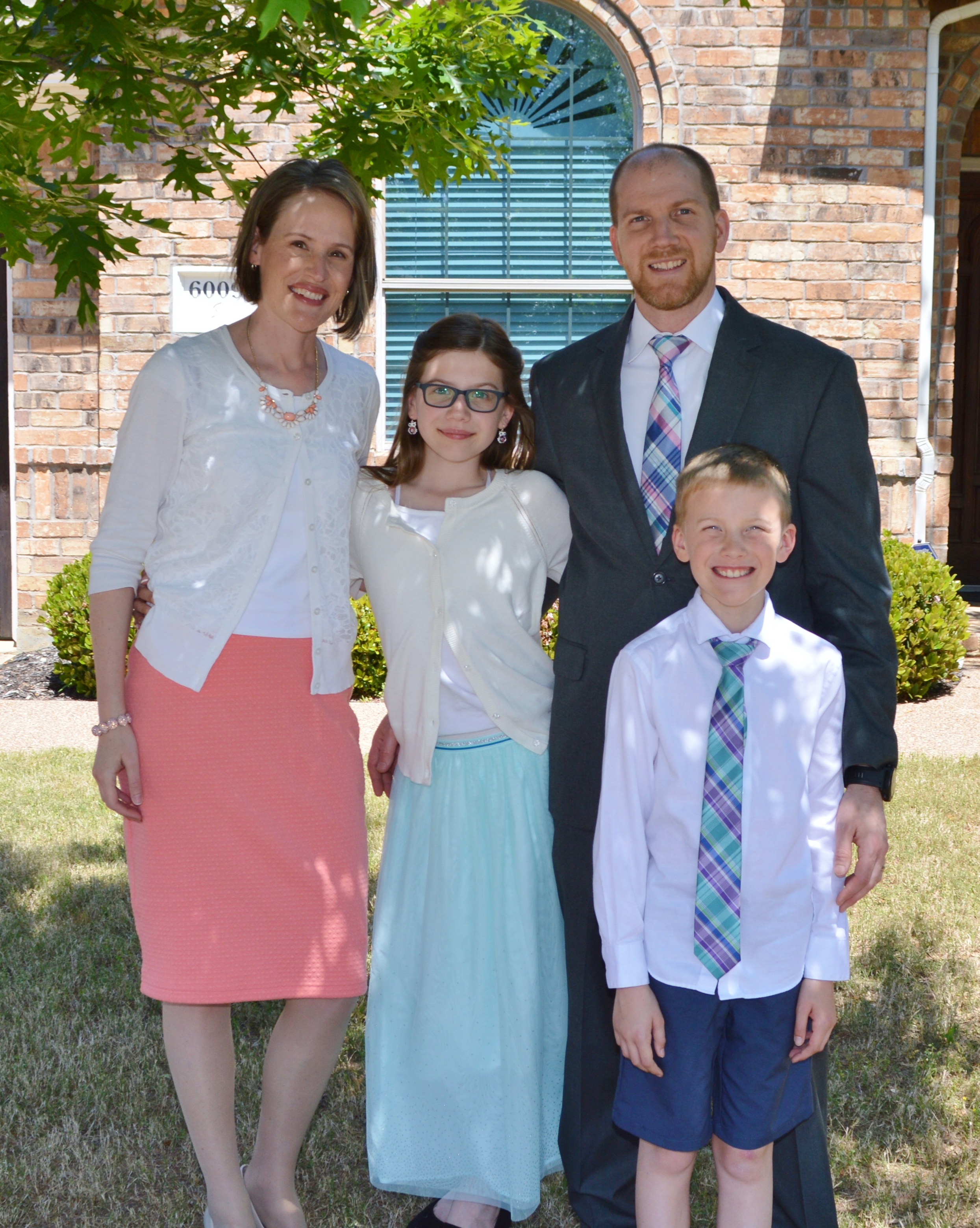
Below are the kids’ stats from their well child checkups today.
Raine
Weight: 83 lbs (58%-ile)
Height: 5′ 1″ (96%-ile)
BMI: 15.7 (22%-ile)
Carter
Weight: 61 lbs (44%-ile)
Height: 4′ 7.75″ (91%-ile)
BMI: 13.8 (4%-ile)
Below are the kids’ stats from their well child checkups today.
Raine
Weight: 83 lbs (58%-ile)
Height: 5′ 1″ (96%-ile)
BMI: 15.7 (22%-ile)
Carter
Weight: 61 lbs (44%-ile)
Height: 4′ 7.75″ (91%-ile)
BMI: 13.8 (4%-ile)


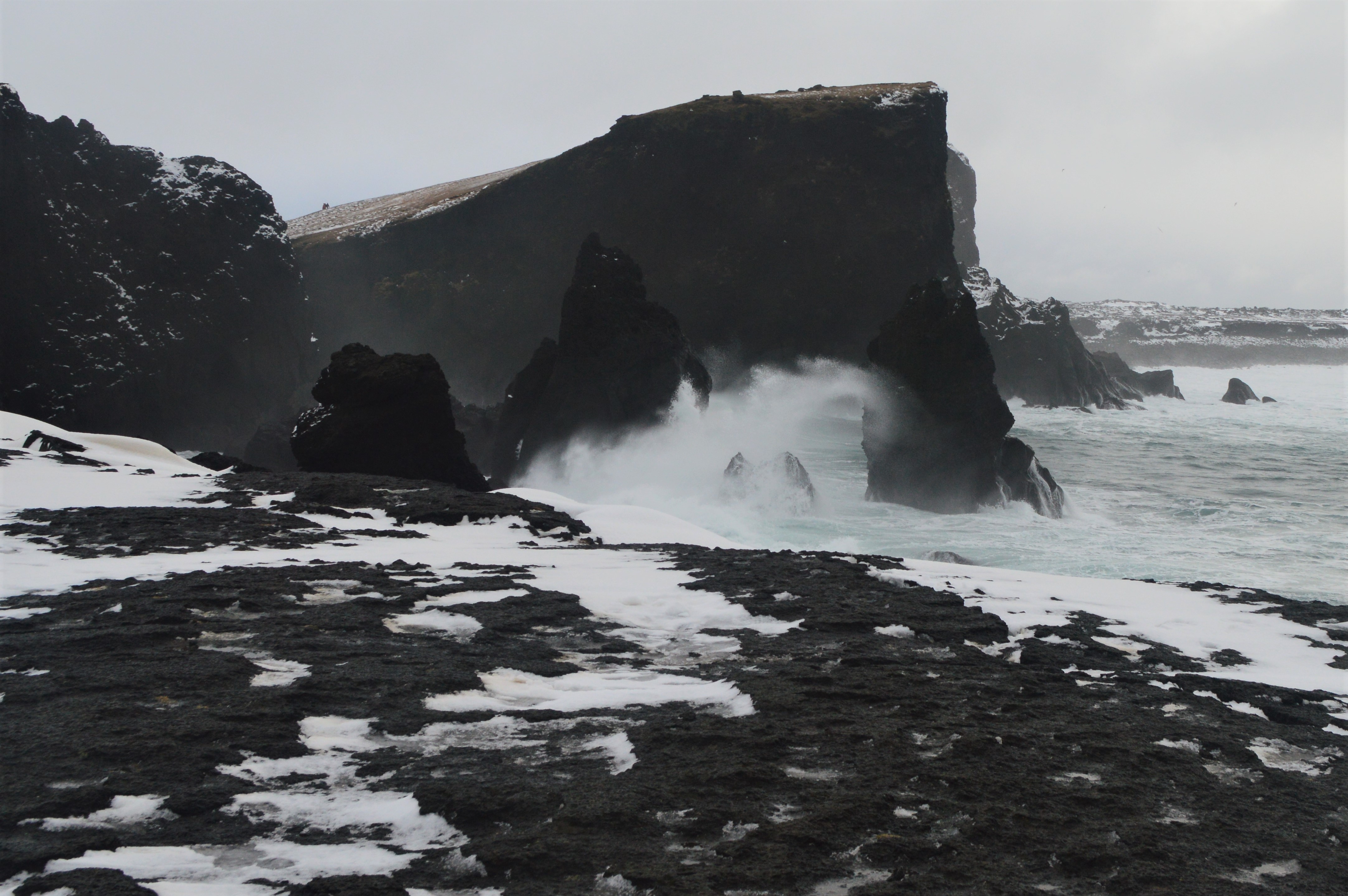
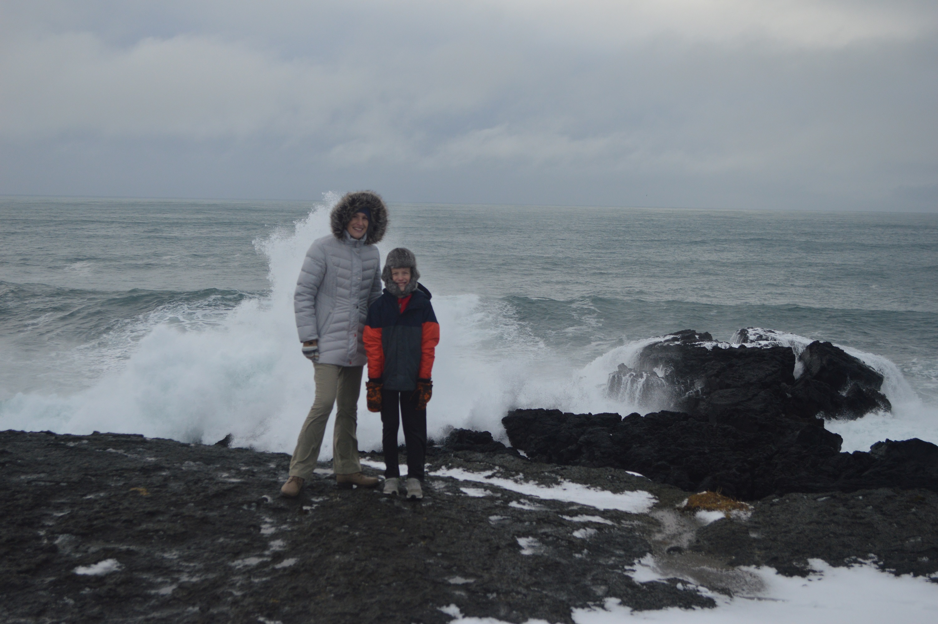
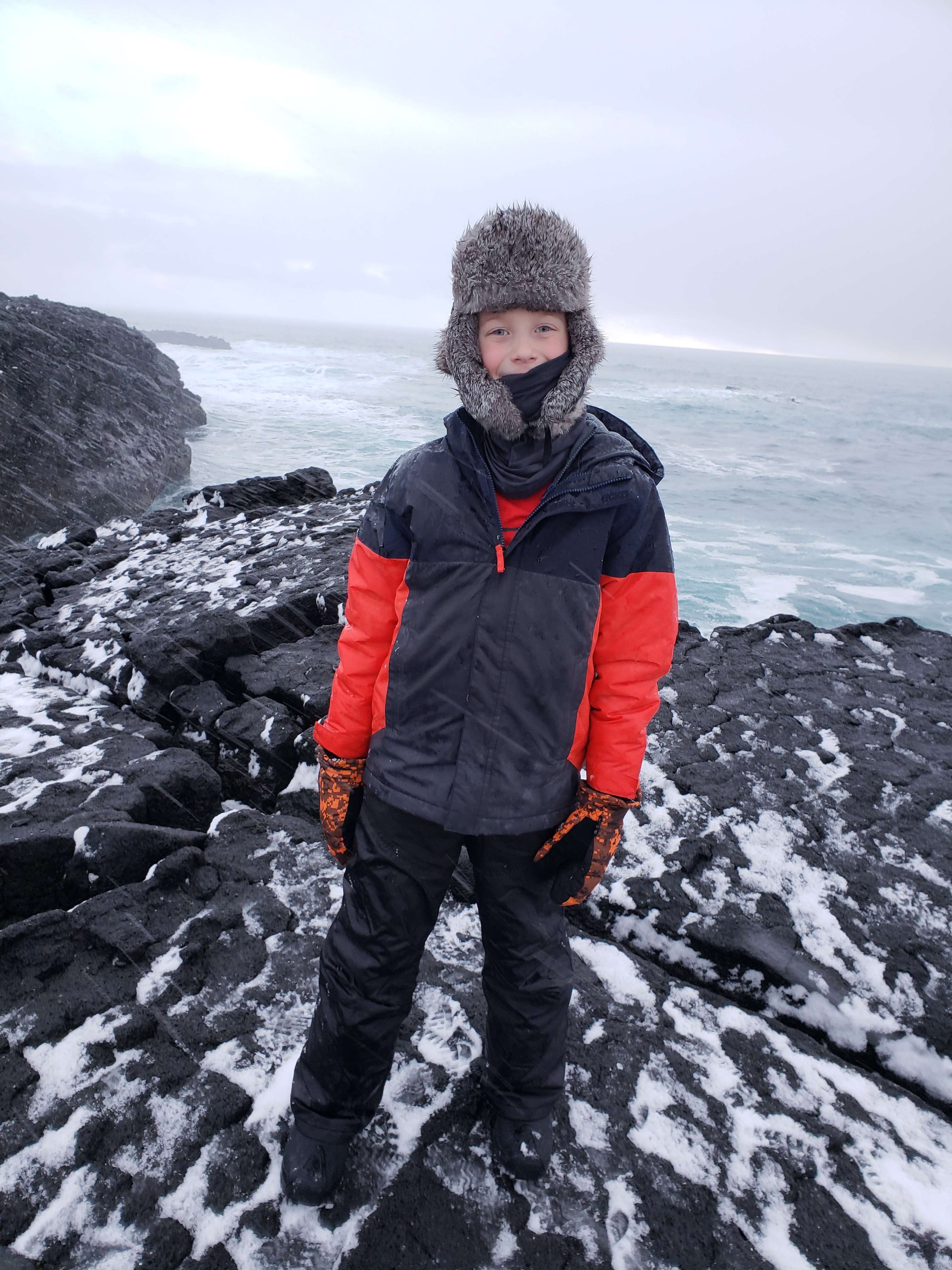
Our last day in Iceland we stayed close to the airport and explored the Reykjanes Peninsula.
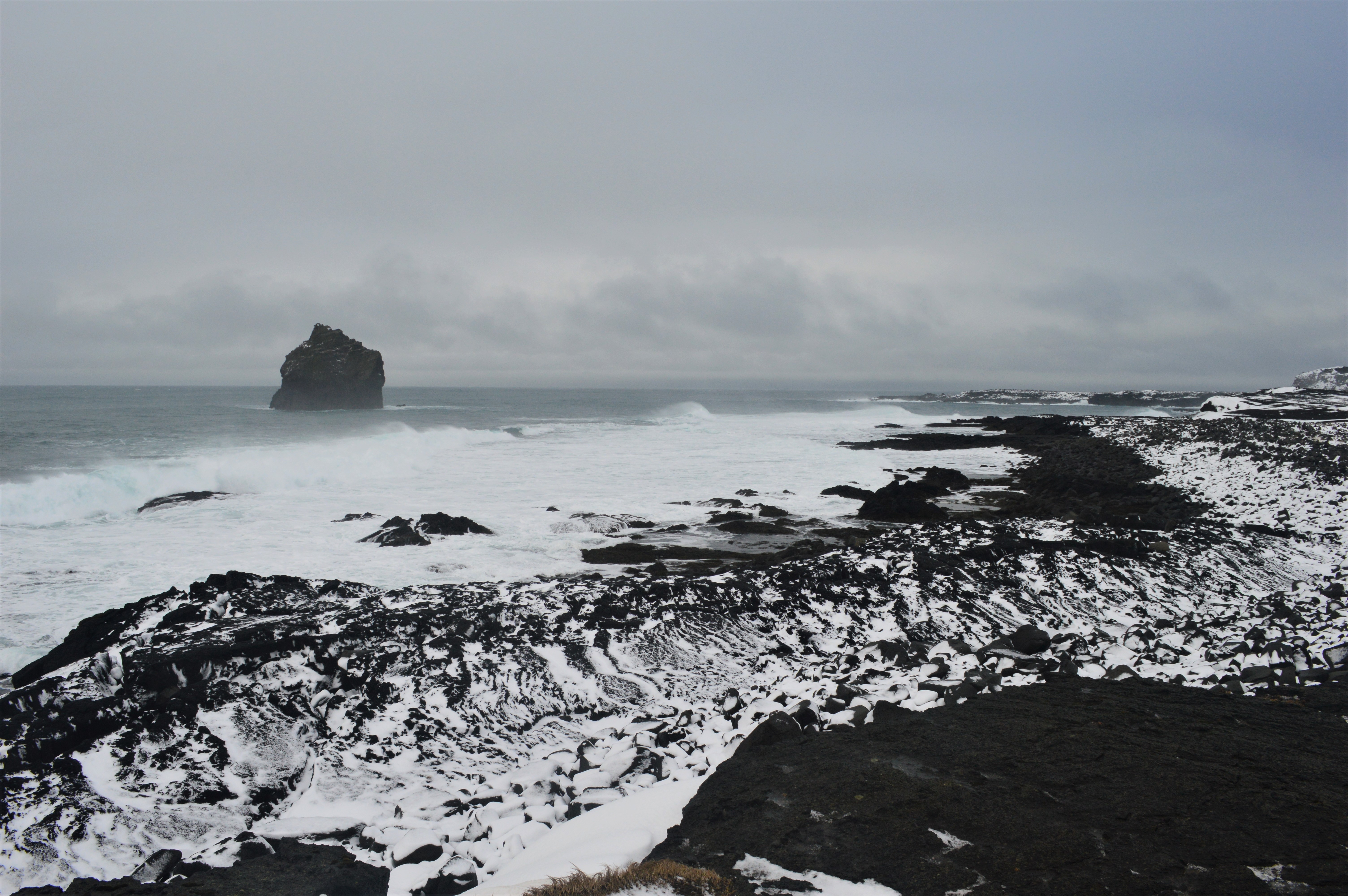
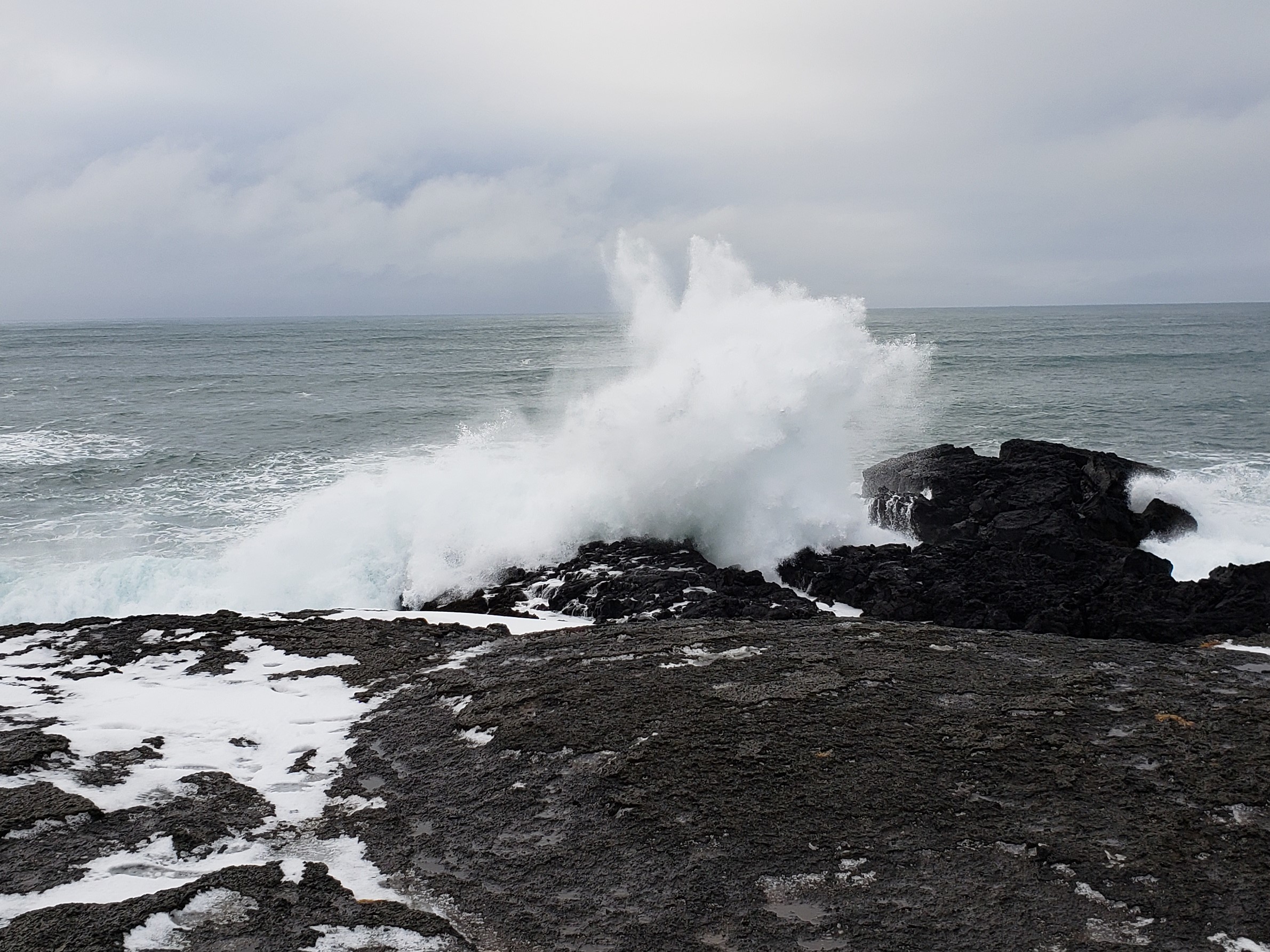
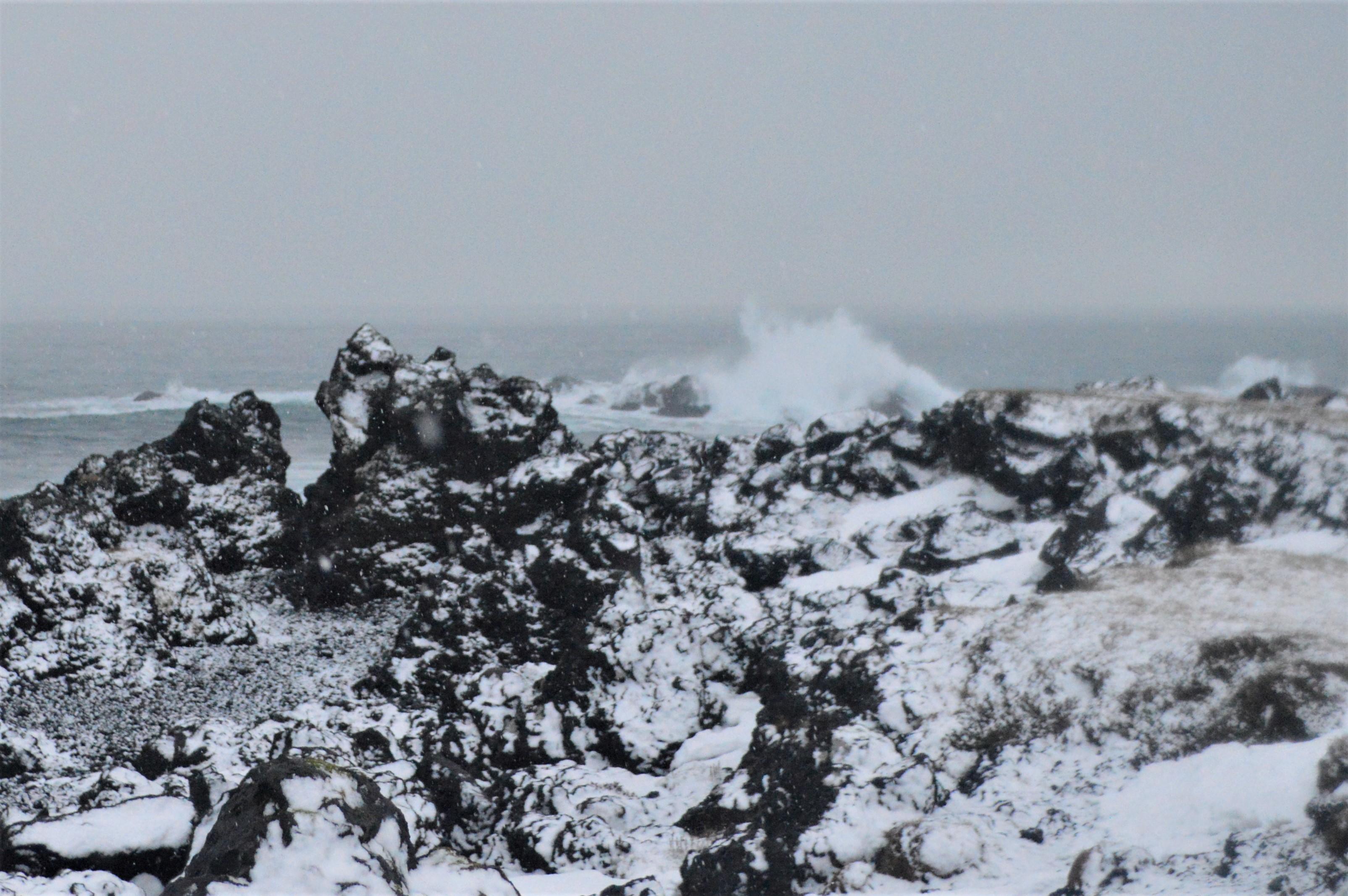
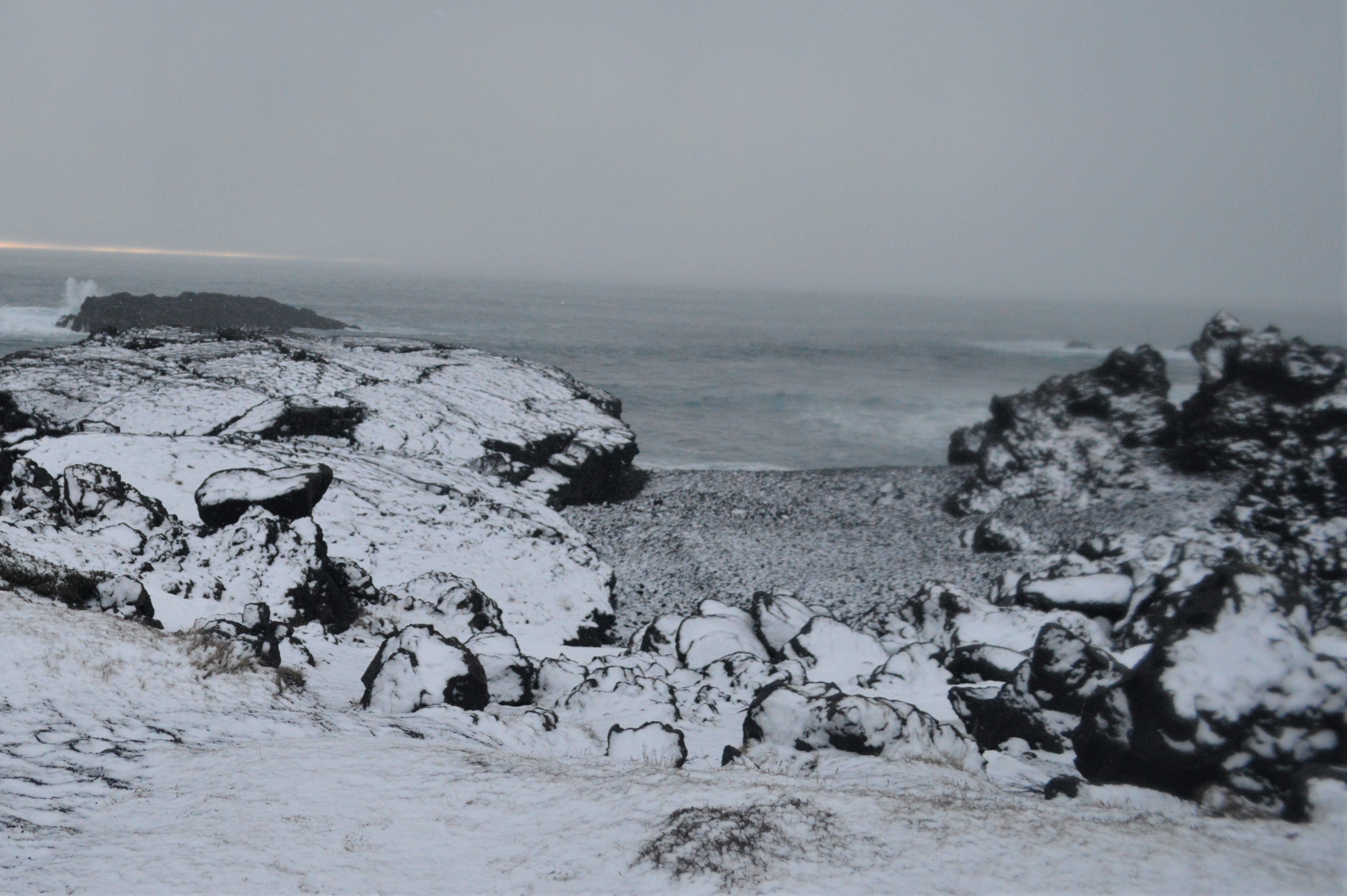
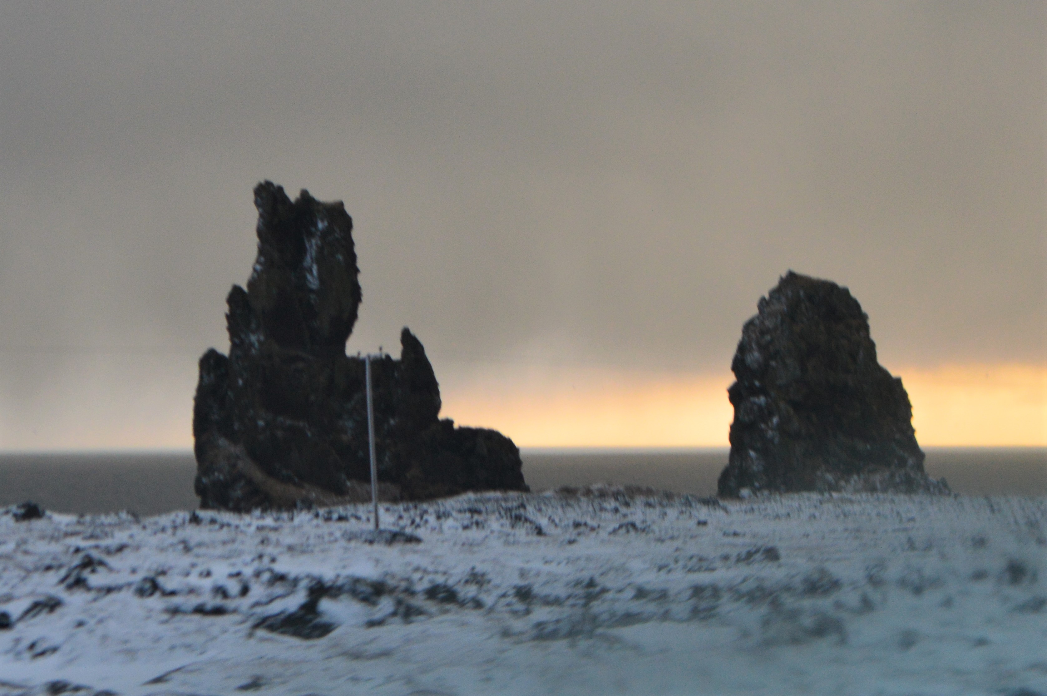
The first place we stopped was cliff Valahnúkur, where we watched the ocean waves crash against the volcanic rocks and cliffs. The cliffs are part of the mid-Atlantic ridge, marking the boundary where the North American plate and Eurasian plate are slowly drifting apart.

The statue of the Last Great Auk, looking out toward Eldey Island. The large flightless penguins inhabited the area until they became extinct in 1830.
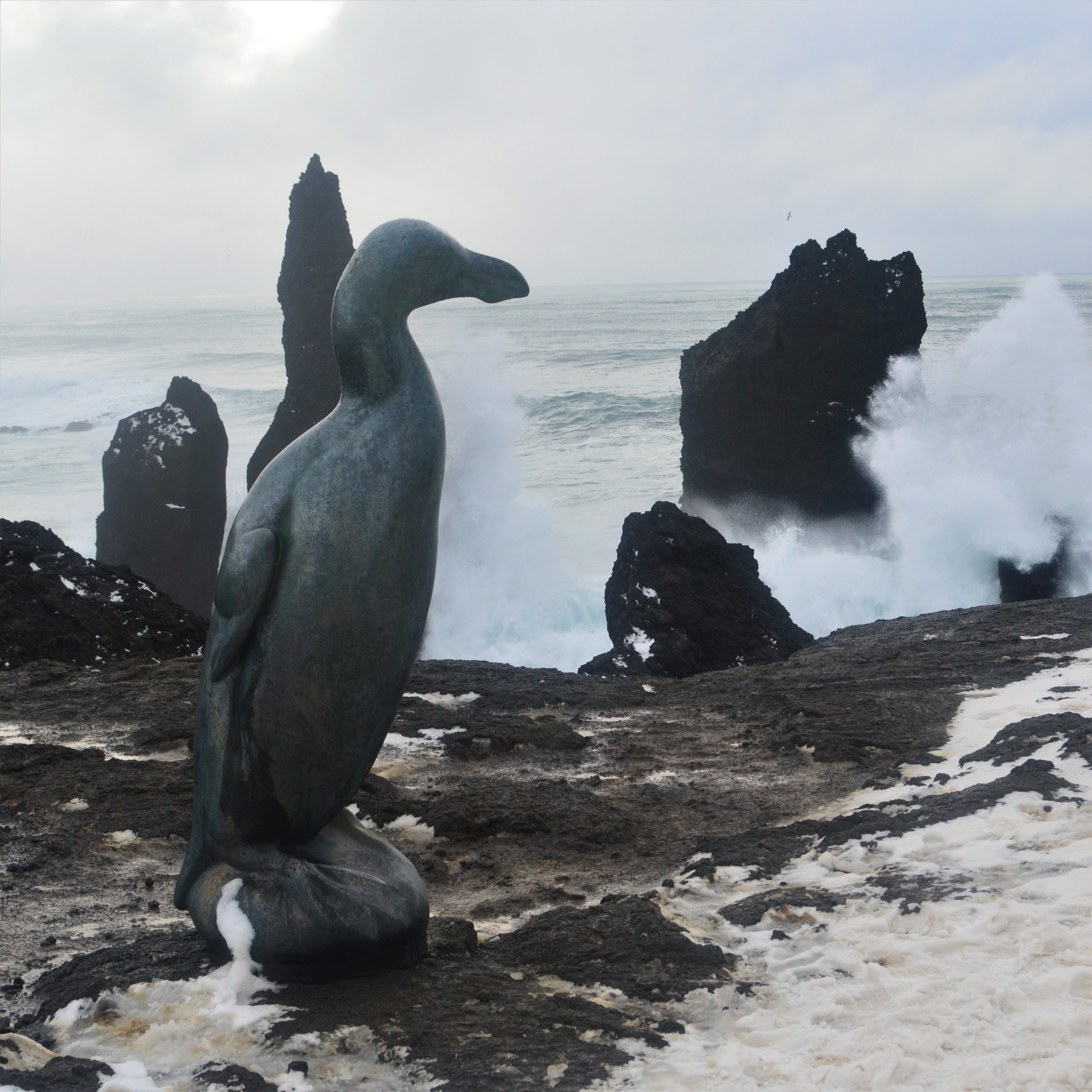
Eldey Island, home to one of the largest gannet colonies in the Atlantic.
Basalt columns
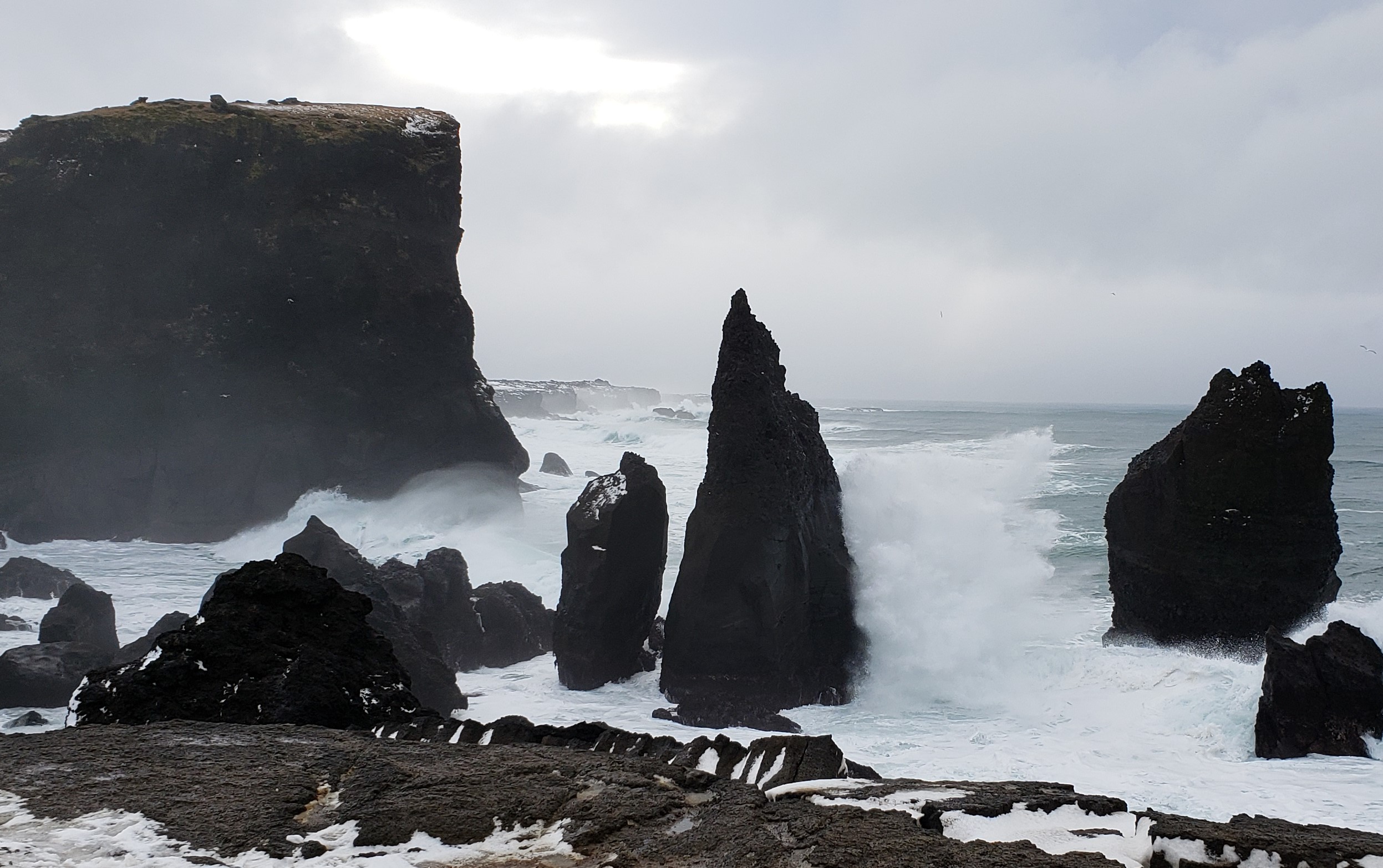
The force with which the waves crash against the volcanic rocks is really awesome and almost mesmerizing.
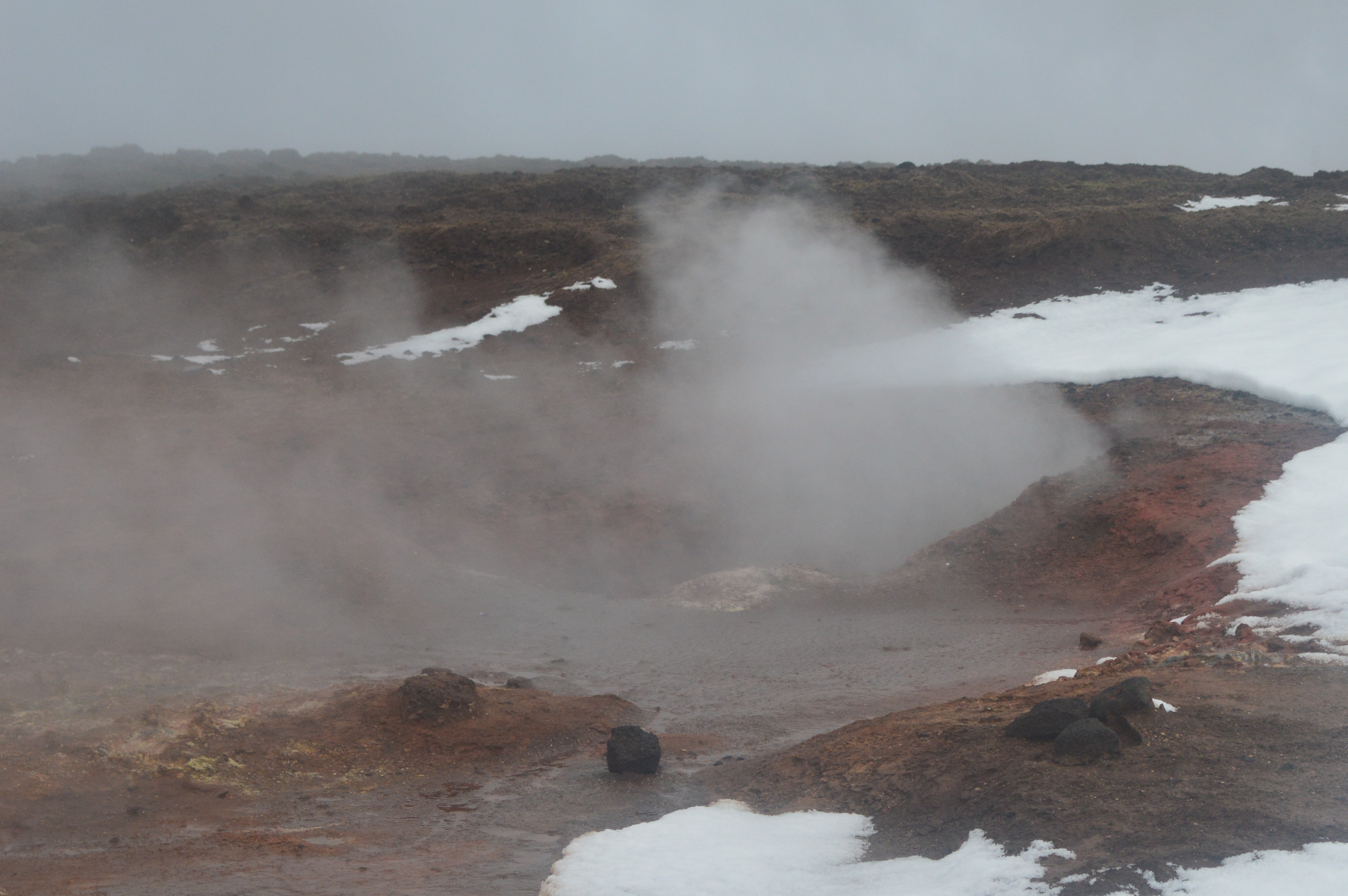
Next, we headed inland to the Gunnuhver mudpots.
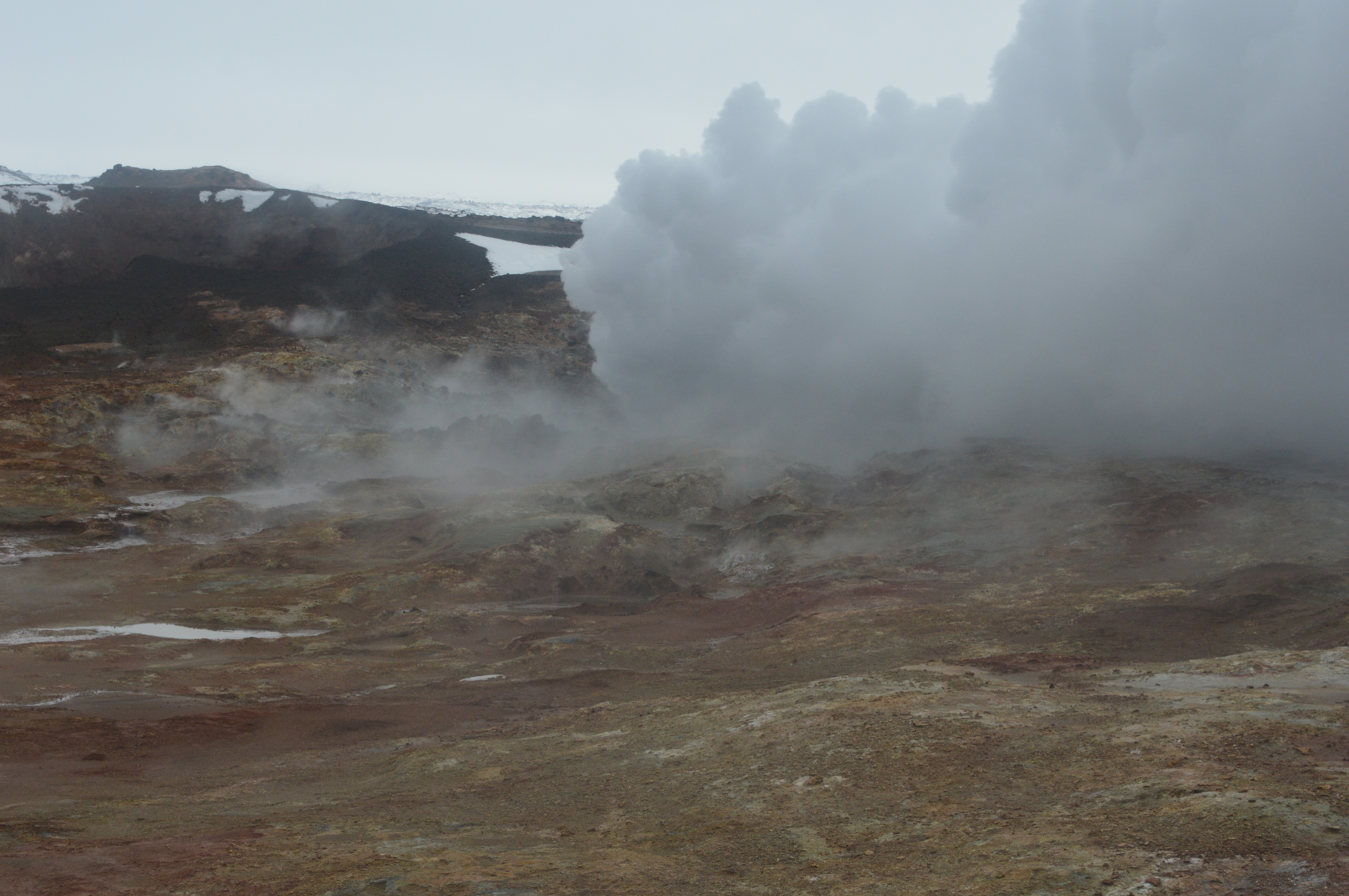
It’s fascinating how much geothermal activity there is in Iceland, it really is the land of fire and ice.
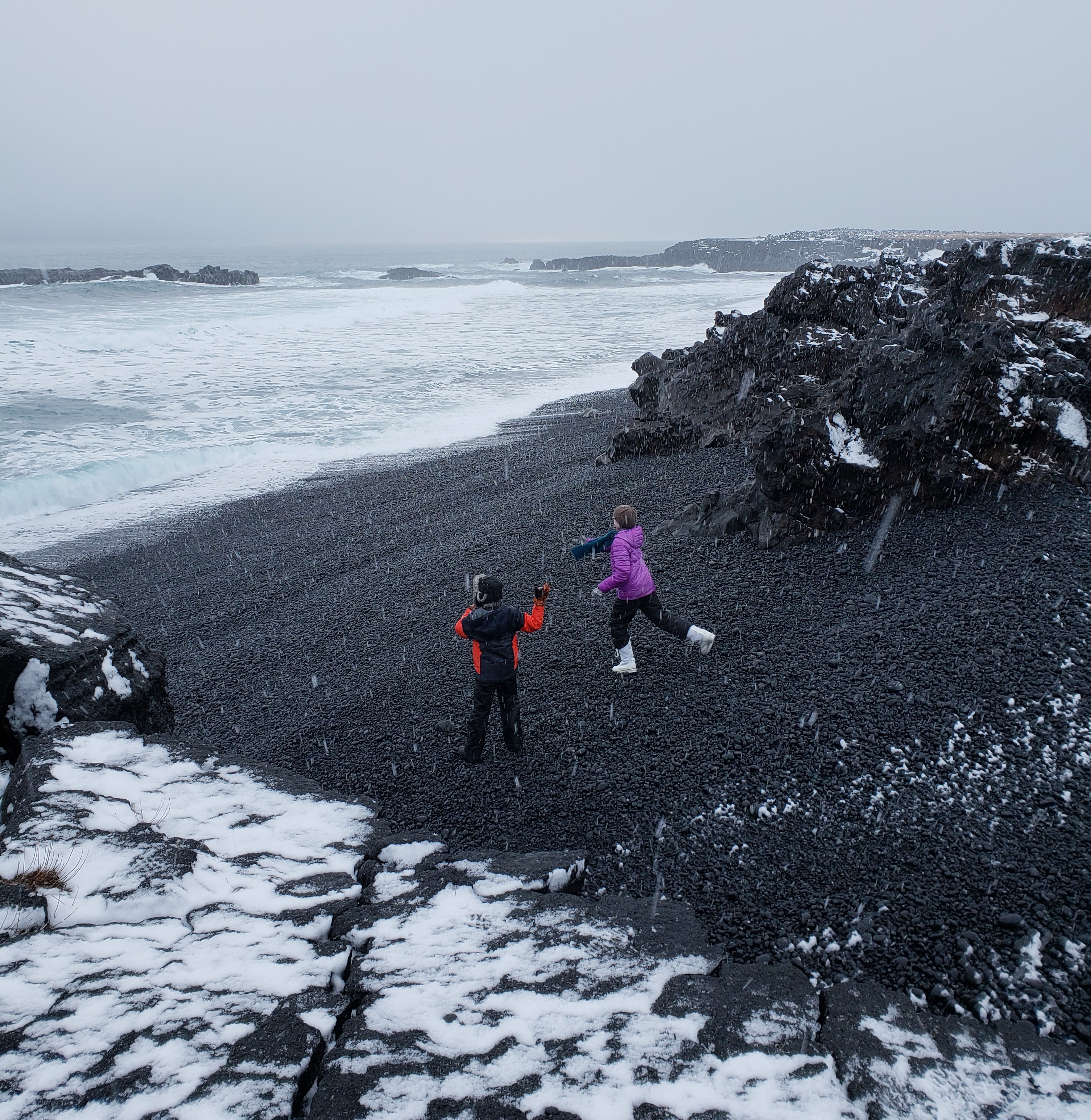
Further along the coastal highway, we stopped at the Brimketill Lava Rock Pool.
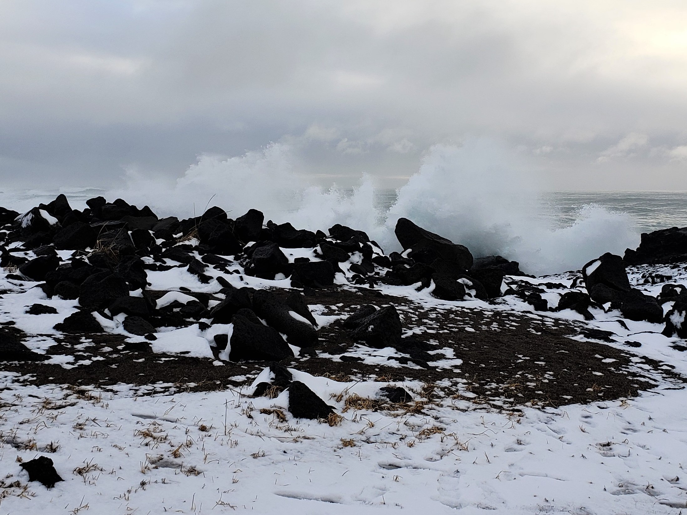

As we ventured out onto the metal lookout platform, we saw some other tourists wearing rain ponchos with a plastic bag over their camera. I thought they were just extra cautious, until this happened! I stopped the video and ran as soon as I realized that we were about to be SOAKED, so it doesn’t capture the secondary splash that came in from the side… drenching us!
Our flight was leaving in a few hours, we had packed up all of our dirty clothes and checked out of the apartment that morning, and now we were soaking wet! That put an end to our sightseeing and we cranked the heat as we drove the rest of the way around the peninsula and out to the airport.
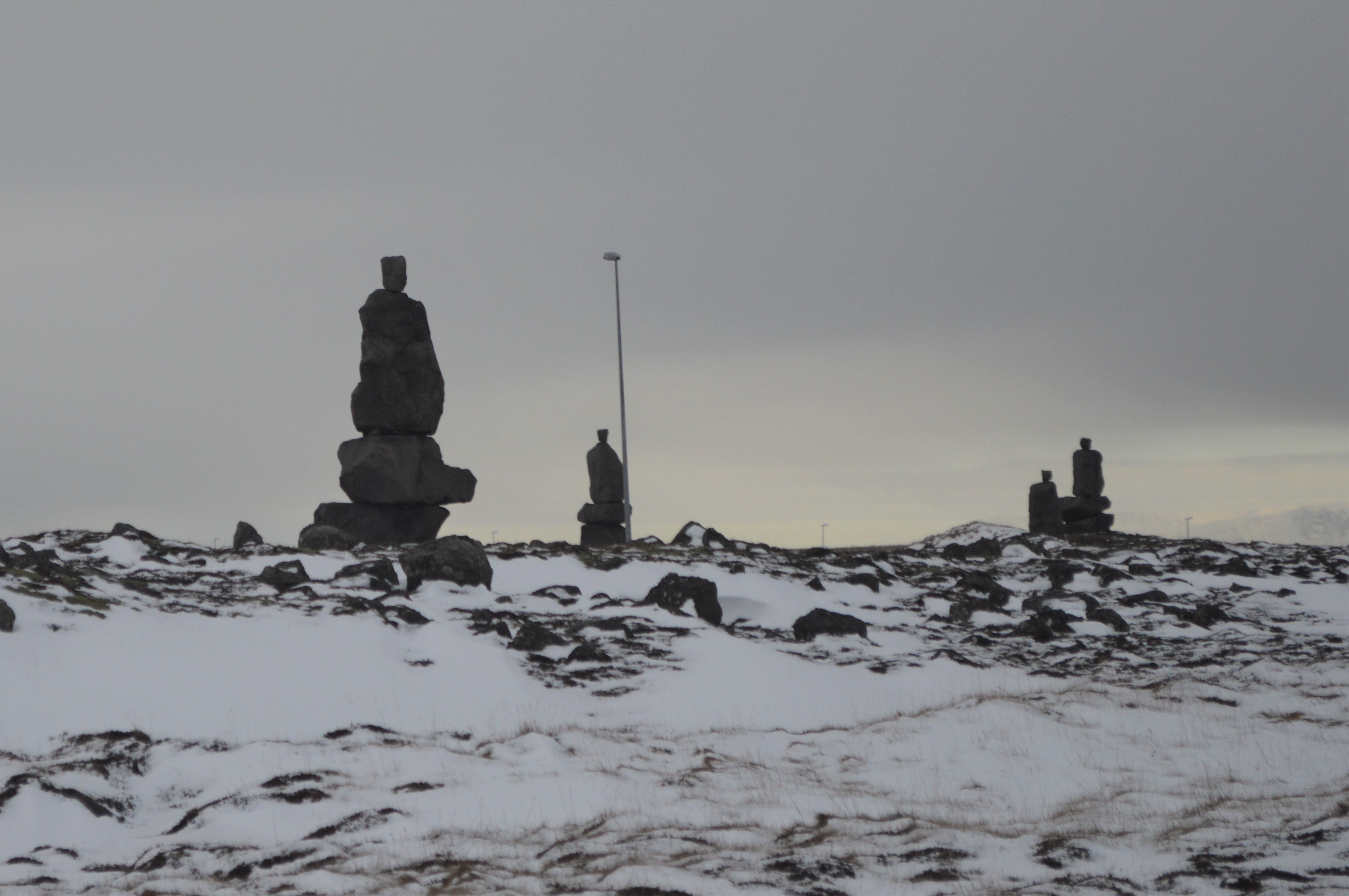
I never figured out what these rock statues were, but they were all over the place on the main road.
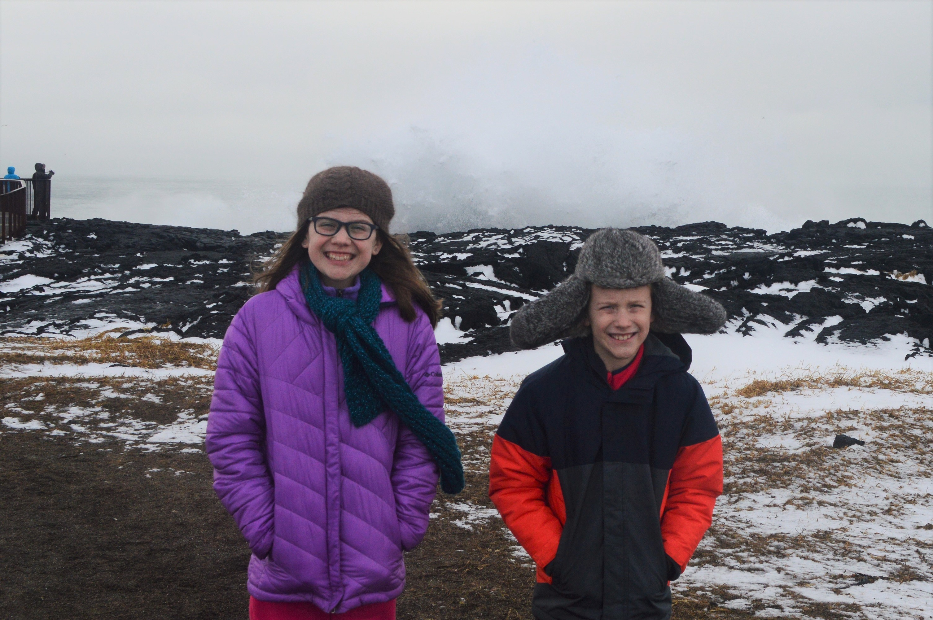
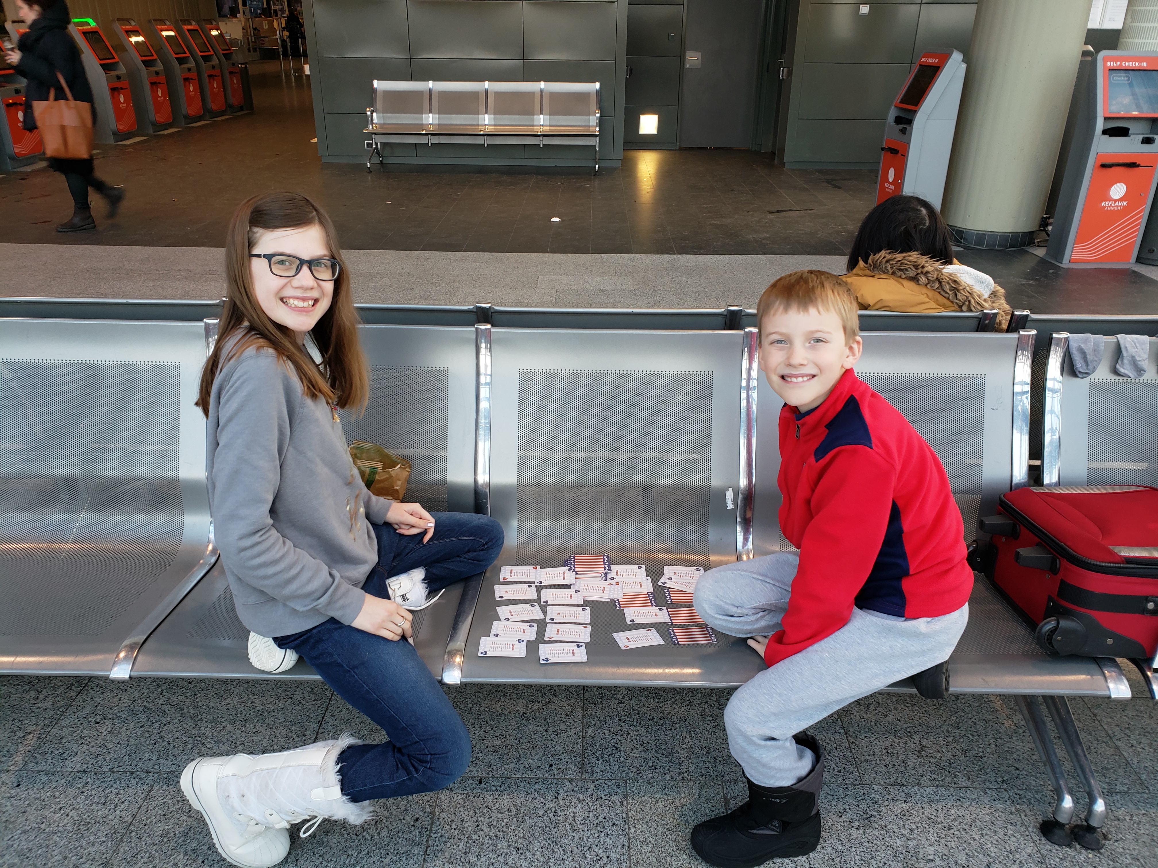
Since DJ had a dry coat, we had him drop us off at that airport with all the luggage and return the rental car by himself, so that we all didn’t freeze to death in our wet clothes. The kids and I dug out some dirty clothes from the suitcases to change into, pulled out our boots (since our shoes were soaked), and laid our wet socks across the radiators in the airport waiting area. It was not an ideal way to start our long trek home, but we’ll sure remember getting soaked by that giant wave!
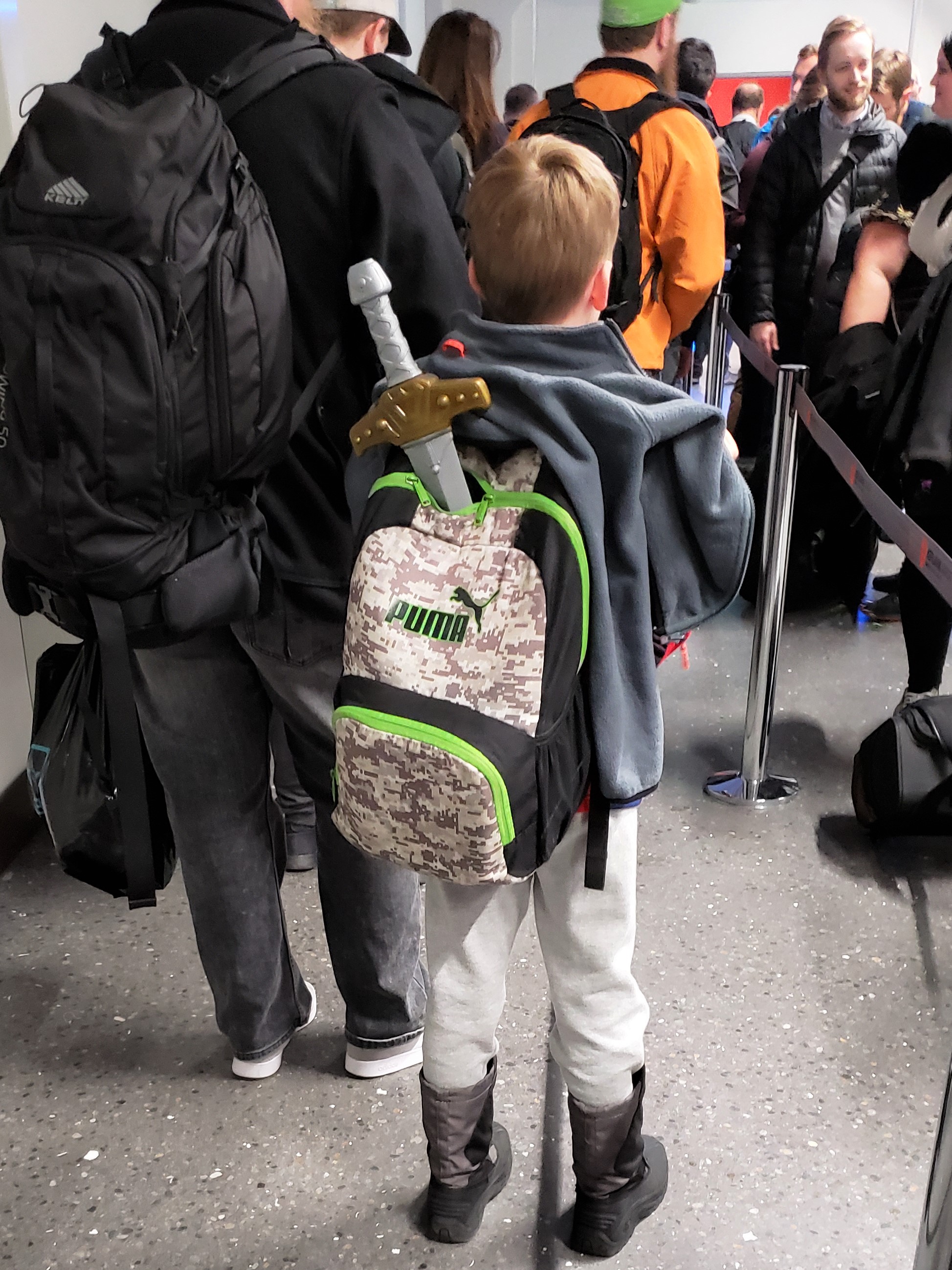
Carter heading through security with his sword sticking out the top of his backpack.
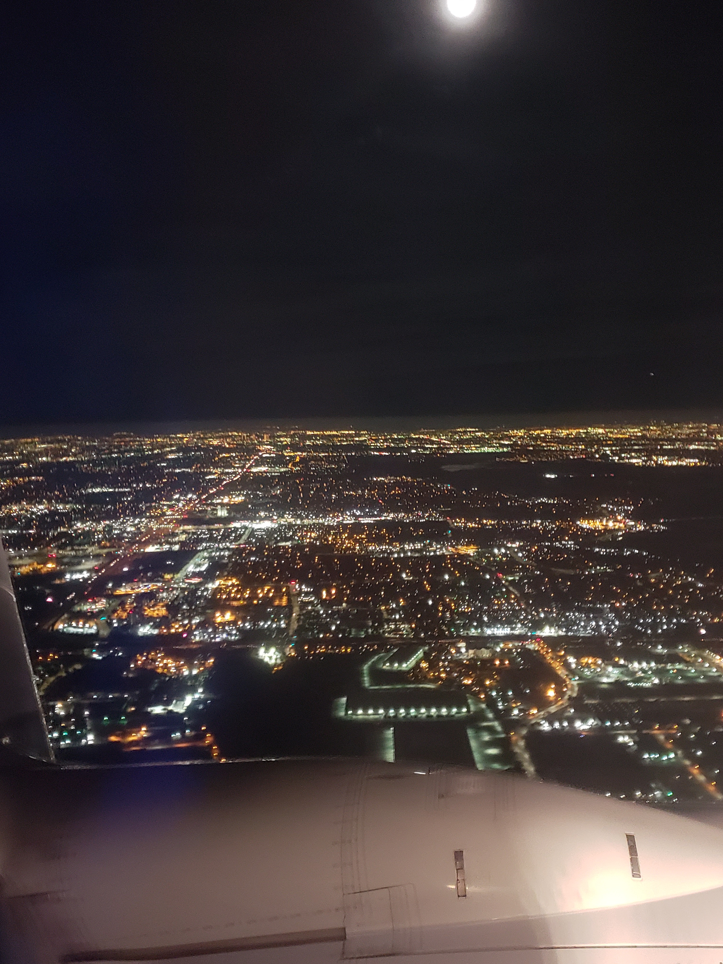
Because Iceland Air cancelled all of their direct flights from DFW after we purchased our tickets, we ended up with some really horrible layovers. On the way home, we flew all the way over to Seattle where we had to spend 6 hours in the airport before catching our flight back home.
We finally landed at DFW on Monday morning at 5:00 a.m. local time… home sweet home!
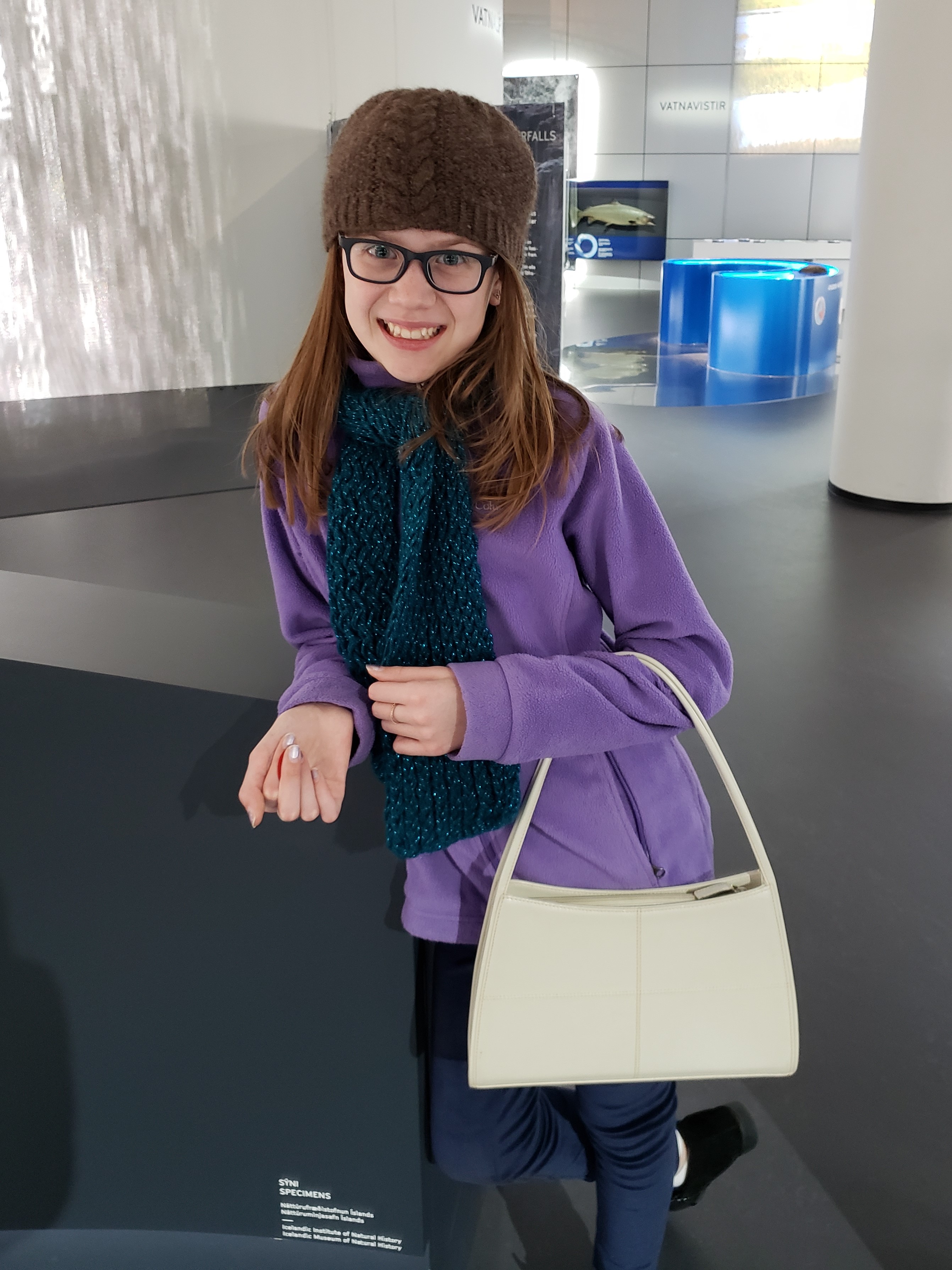
Saturday, February 16 we drove back into Reykjavik to do some final souvenir shopping. Raine found this purse at a thrift store.
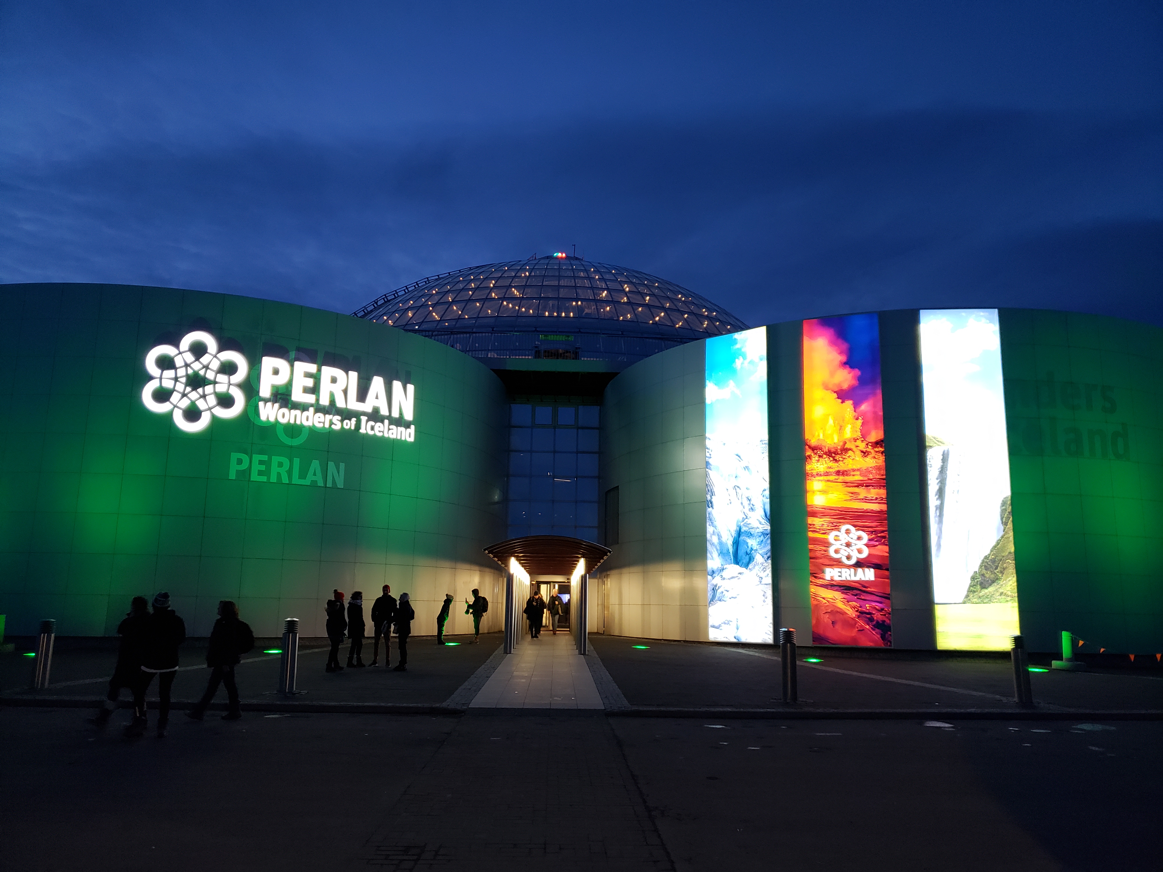
After shopping, we visited the Perlan Museum. We learned all sorts of things about Iceland’s geography, natural wonders, plants, and animals. We probably should have stopped at the Museum at the beginning of our trip!

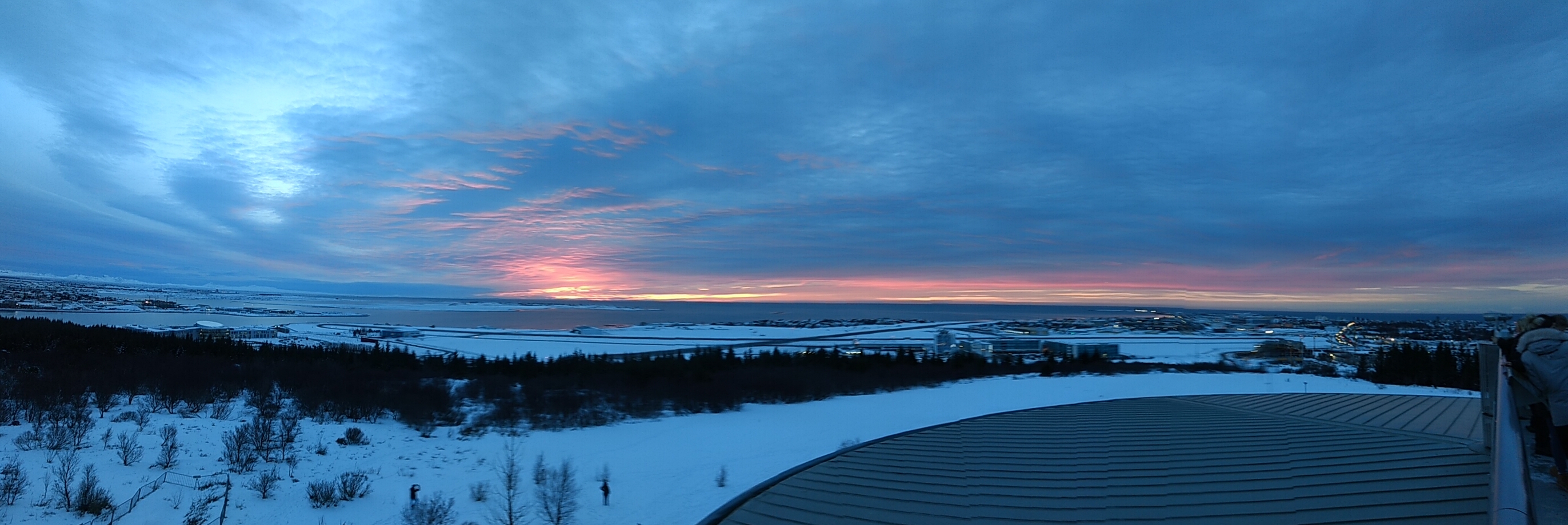
View from the observation deck:
After driving around in circles FOREVER looking for parking, we had dinner at Icelandic Street Food on Lækjargata. The place was so packed that there was barely room to stand in line so after getting our food, we followed the signs to the overflow seating in a pub just a couple doors down. The food was AMAZING. They serve all-you-can-eat Icelandic stews in bread bowls. We all loved the traditional lamb soup, Daddy also tried the fisherman fave, Raine loved the bread.

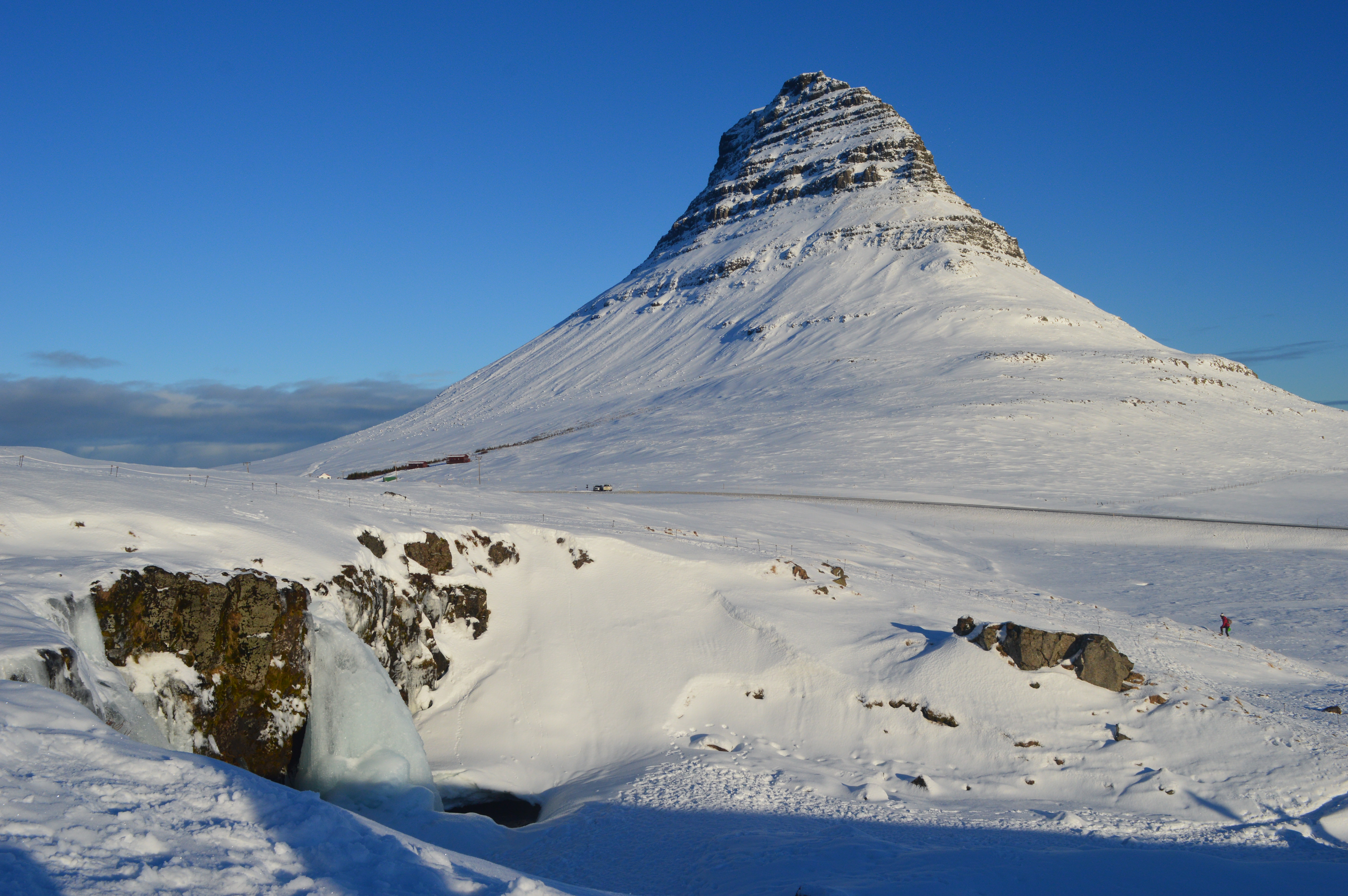
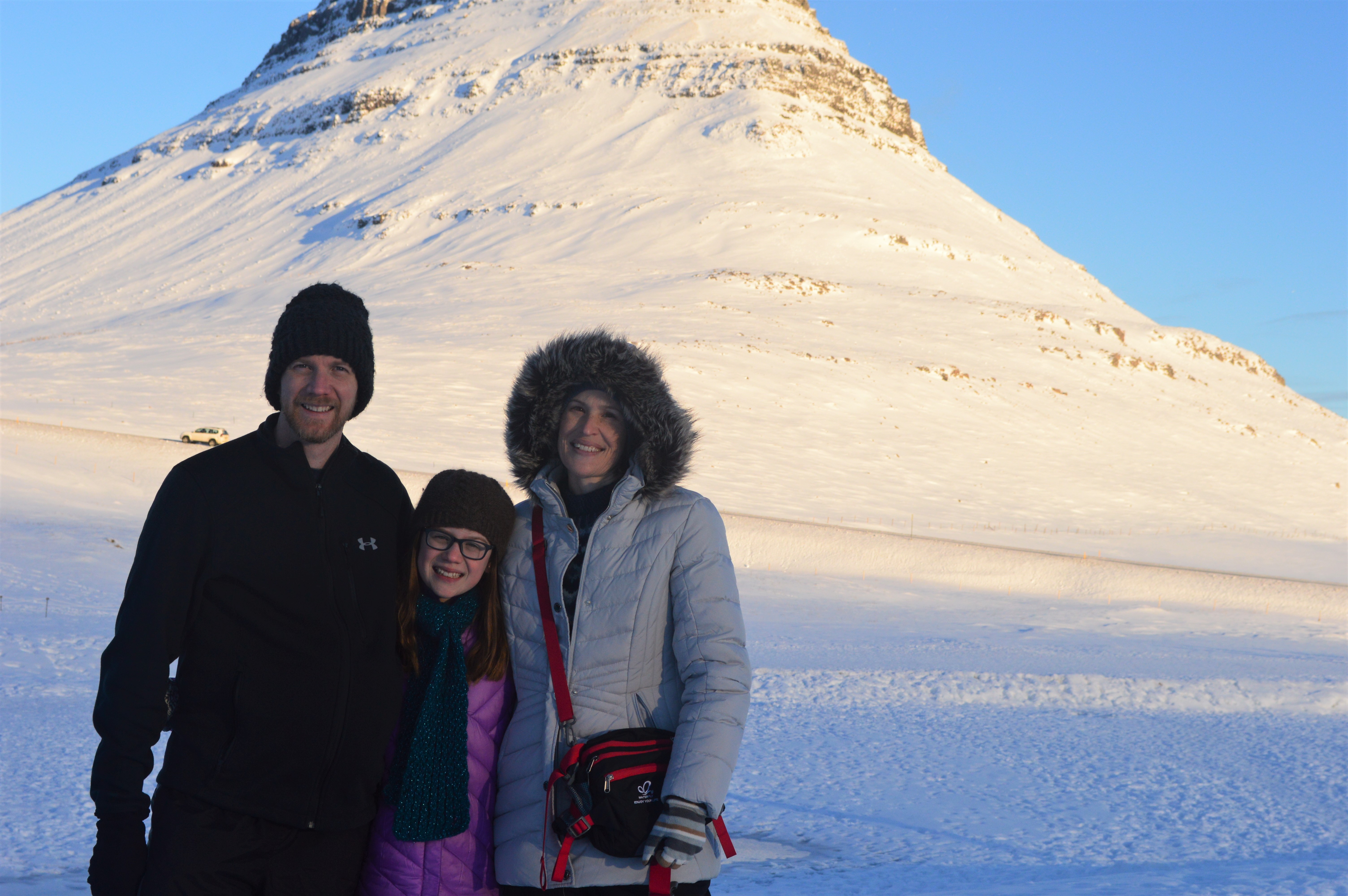
Friday, February 15, was the day Carter had been waiting for… we were going whale watching, hoping to see some orcas. On our way, we stopped to see Kirkjufellsfoss and its views of Kirkjufell Mountain.

Carter was sick of seeing frozen waterfalls so he wouldn’t be in any photos, but he took some for us.

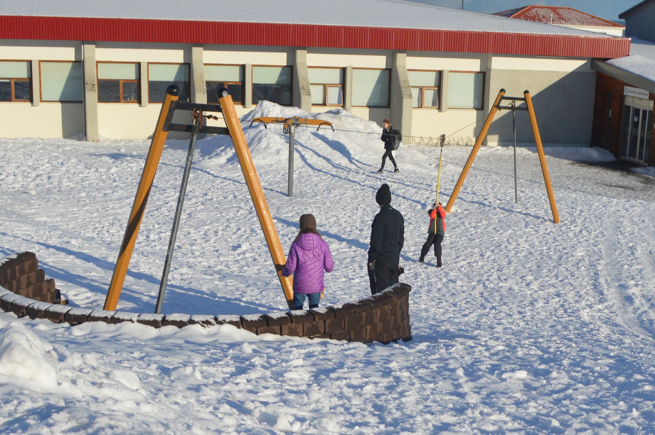
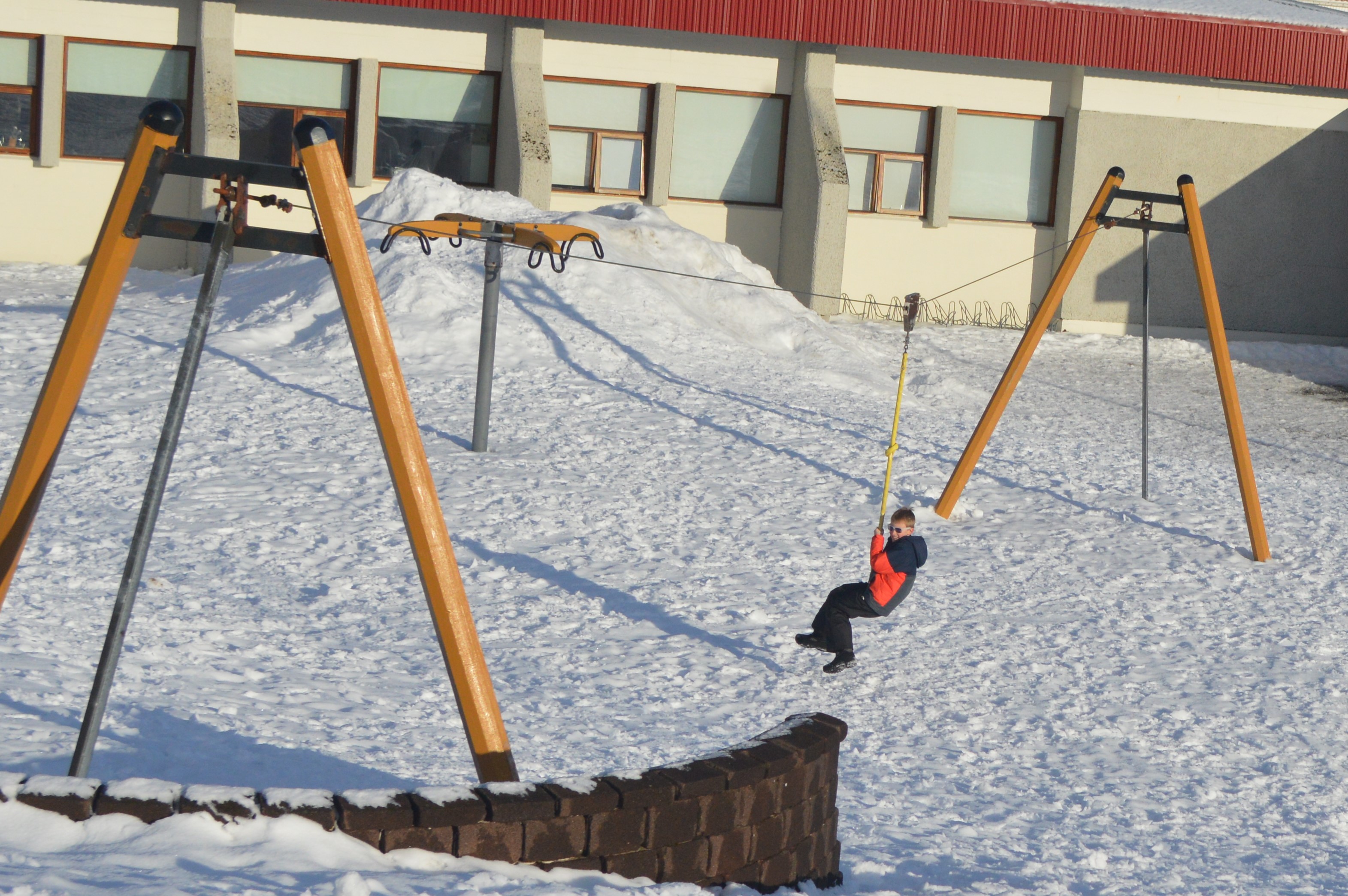
While we waited for our whale-watching tour, we found a school playground with a zip line.
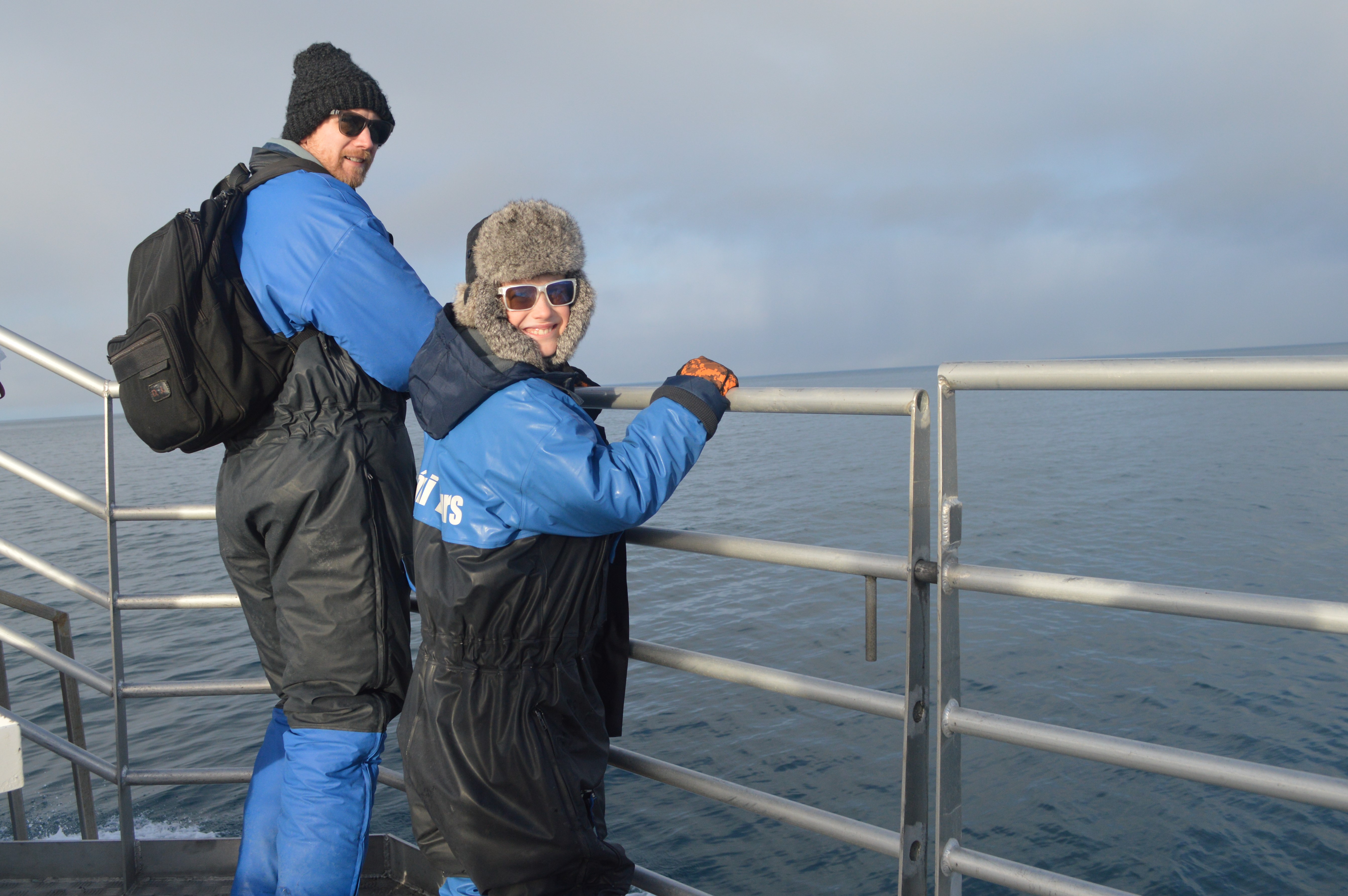
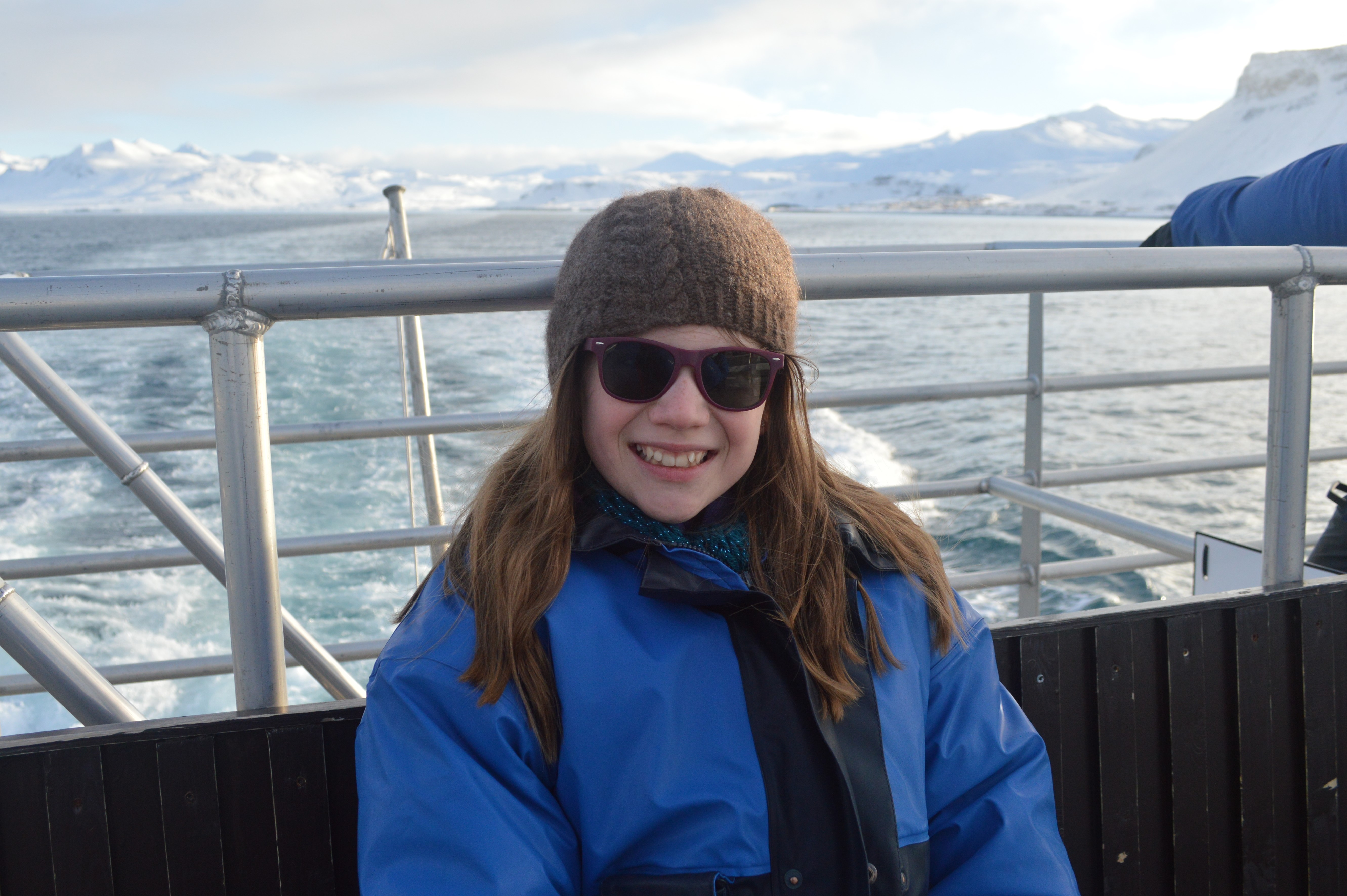
We donned our thermal flotation suits and boarded the boat.

We found a great viewing area on top of the boat. It was good for seeing whales, not so great for Mom’s sea-sickness though!
Soon after we made it out into the open ocean, the boat crew saw water spouts. As we got closer, they realized that it was a couple of sperm whales. They said that seeing sperm whales on the tour is VERY unusual as they generally stay out where the water is deeper.


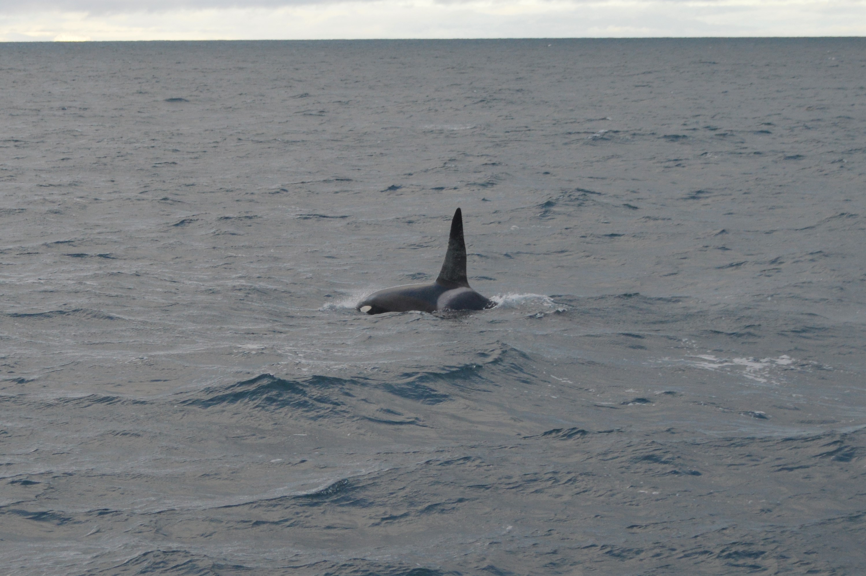
After watching the sperm whales for quite a while, we headed out in search of orcas and soon enough we found some.

We bobbed around with the orcas for a long time, it was really, really cool! (It was also sickening to roll back and forth on the waves as the boat idled next to the whales, but I only threw up once!) The orcas came fairly close to the boat, swimming alongside and under it.
After the tour, we headed back down south, past Reykjavík, to Njardvik, close to the airport.
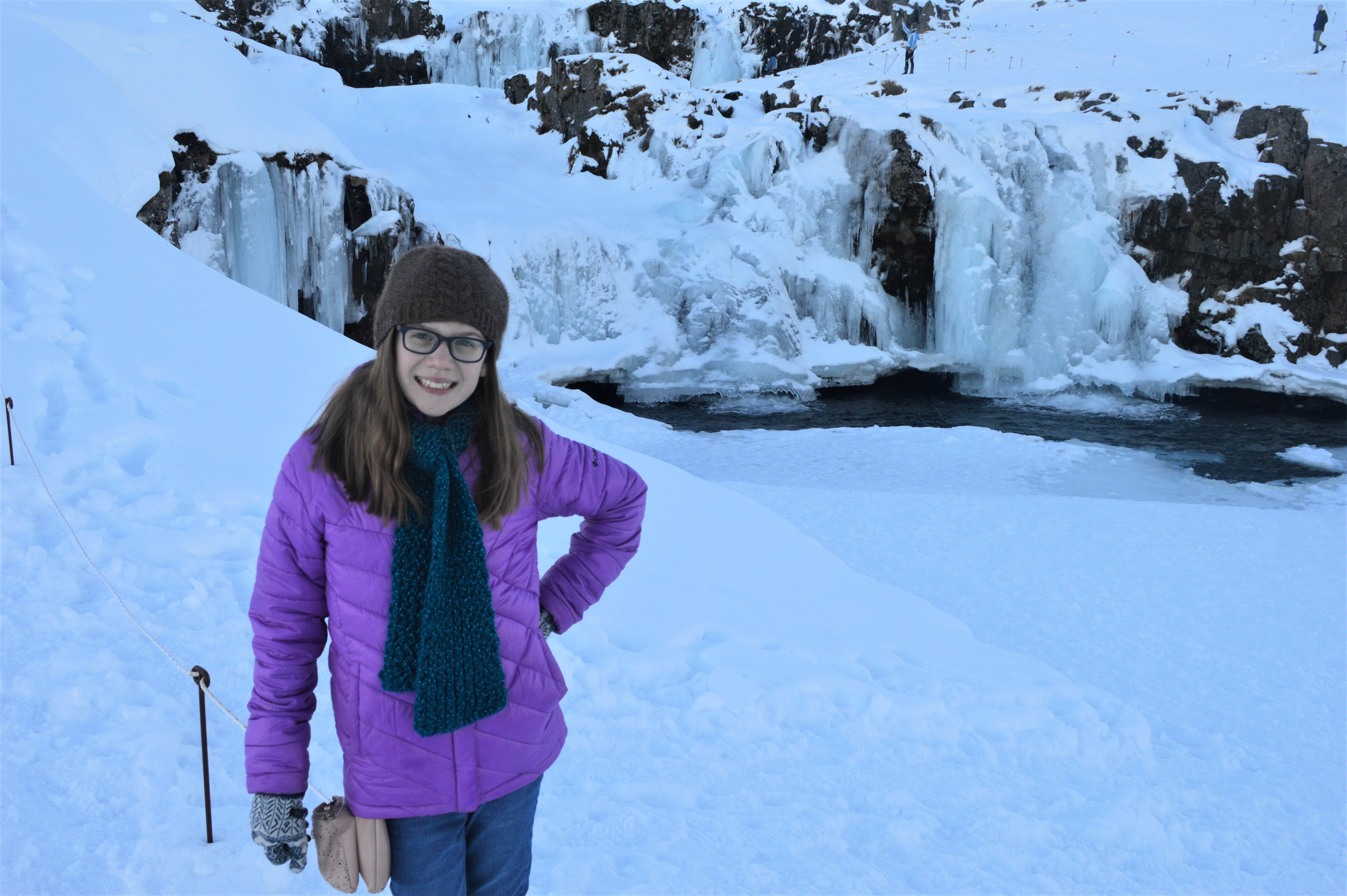
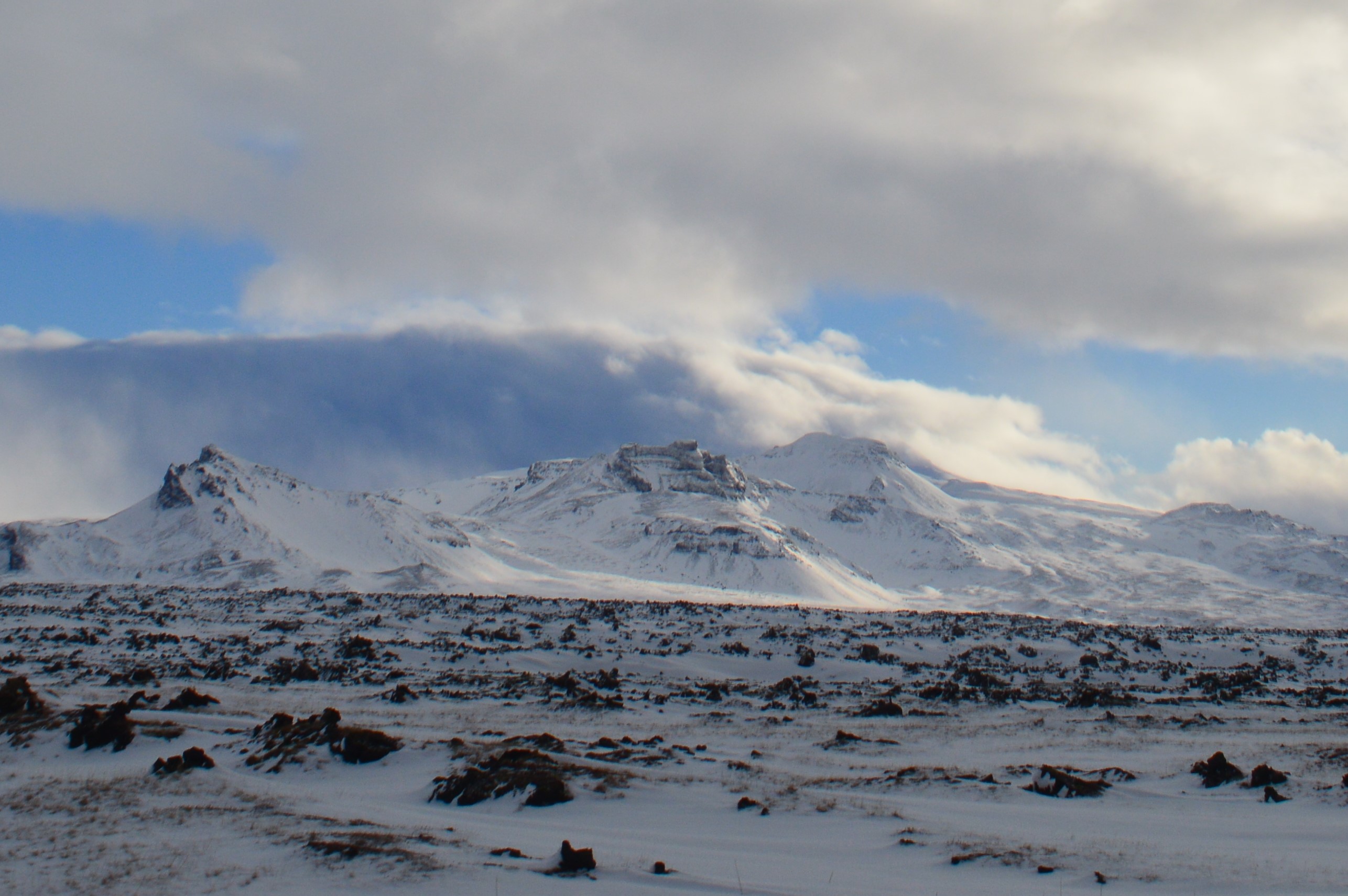
Valentine’s Day, we drove out to Snæfellsjökull National Park on the end of the peninsula.
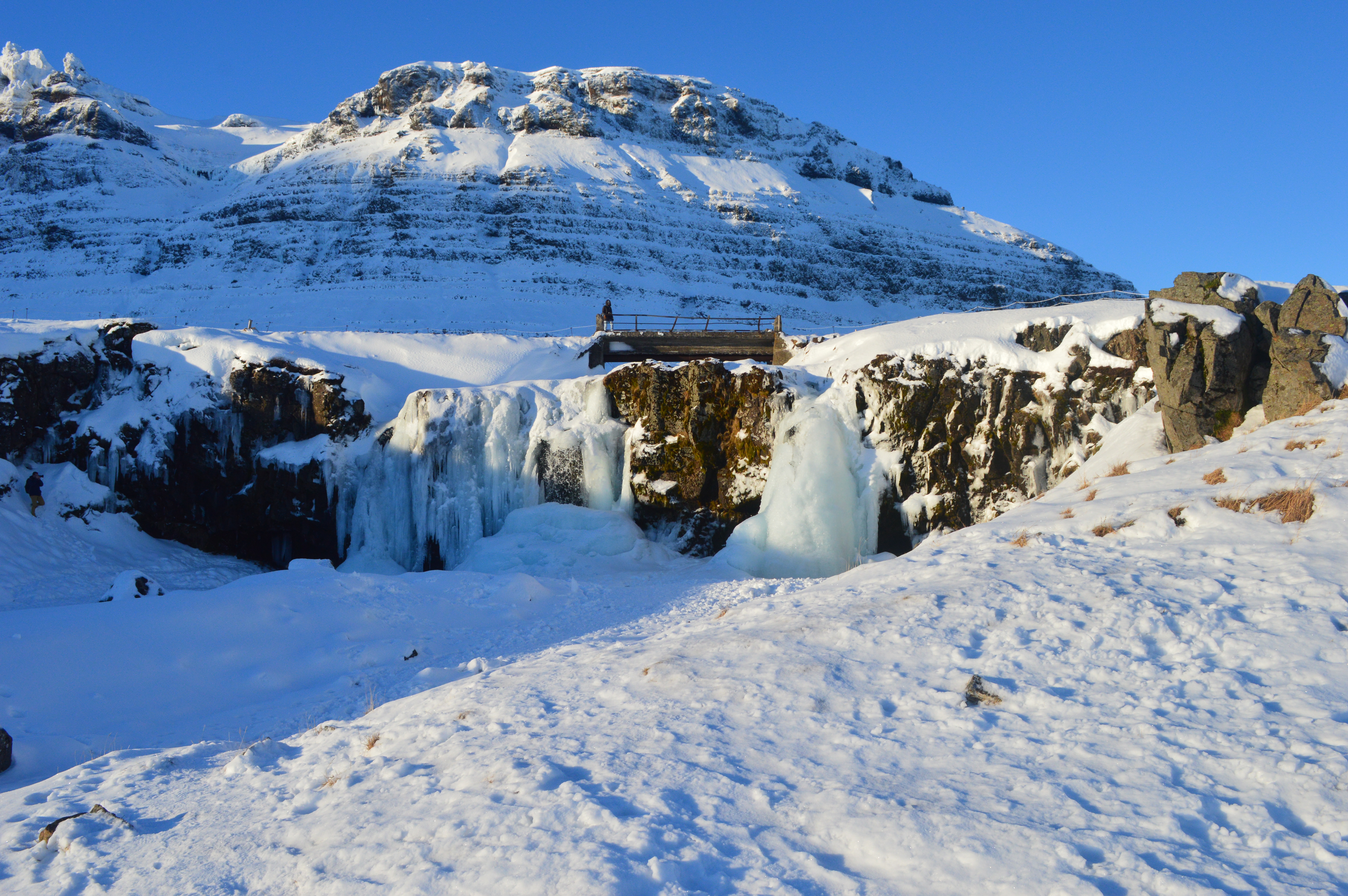
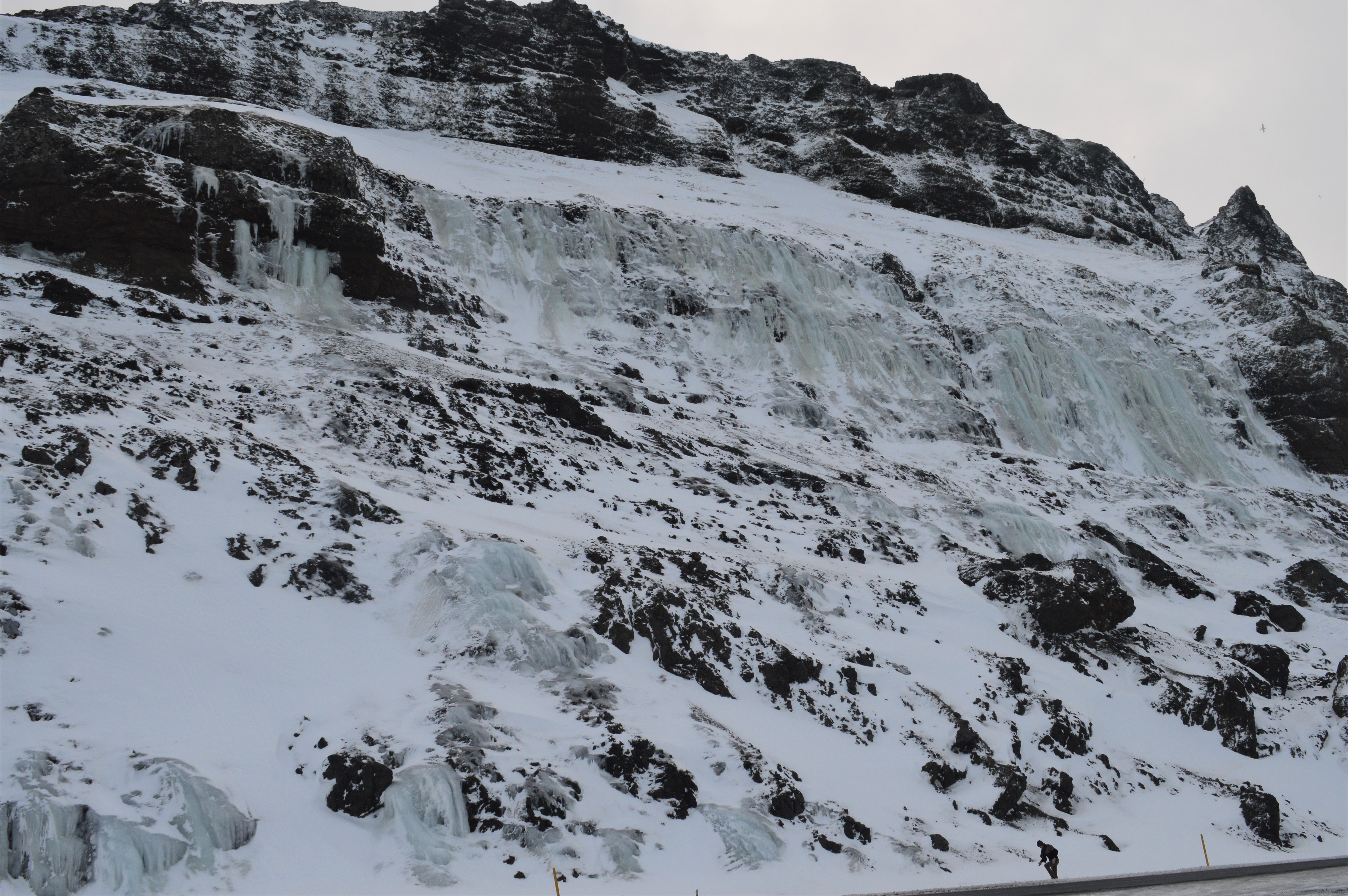
Lots of frozen waterfalls!
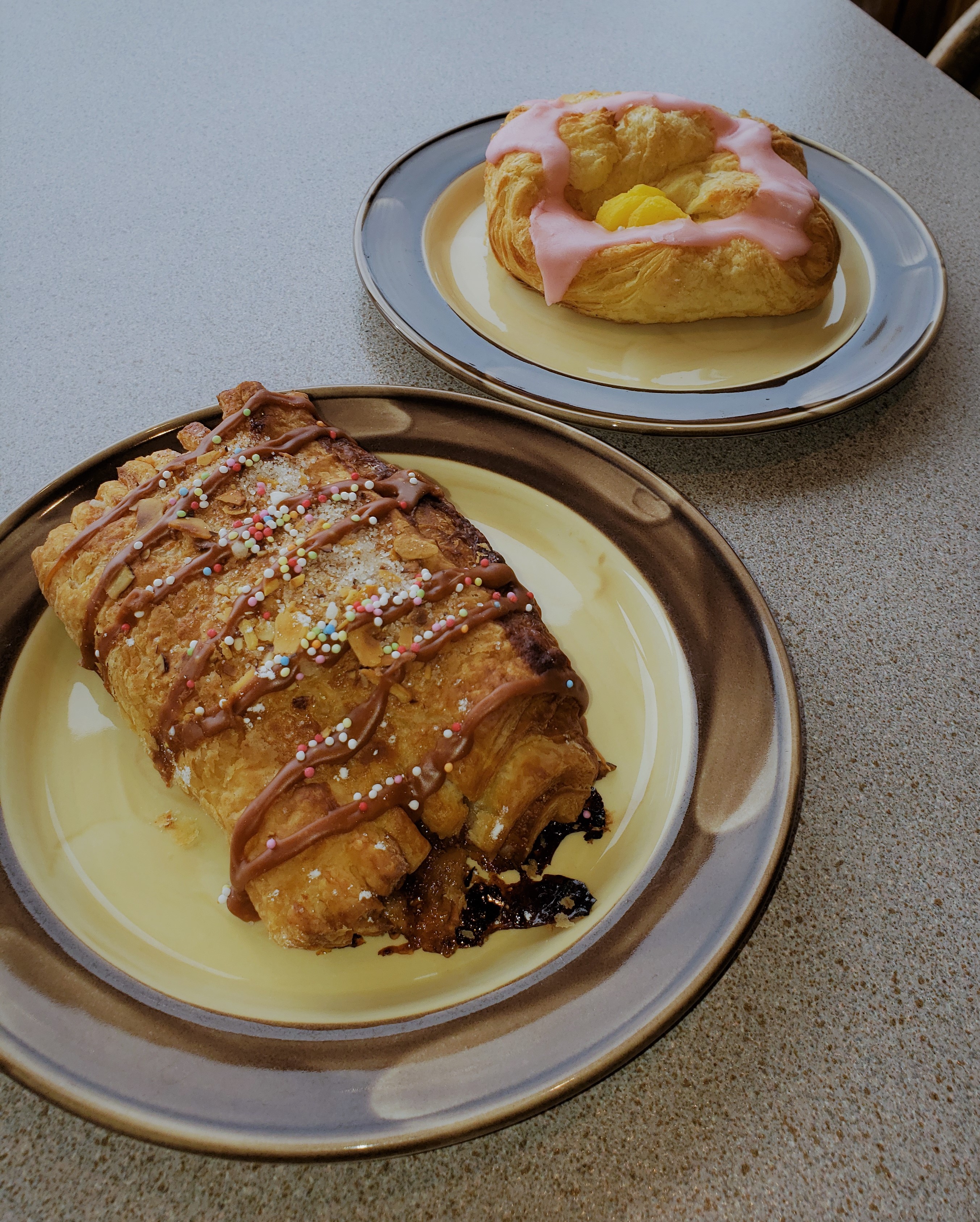
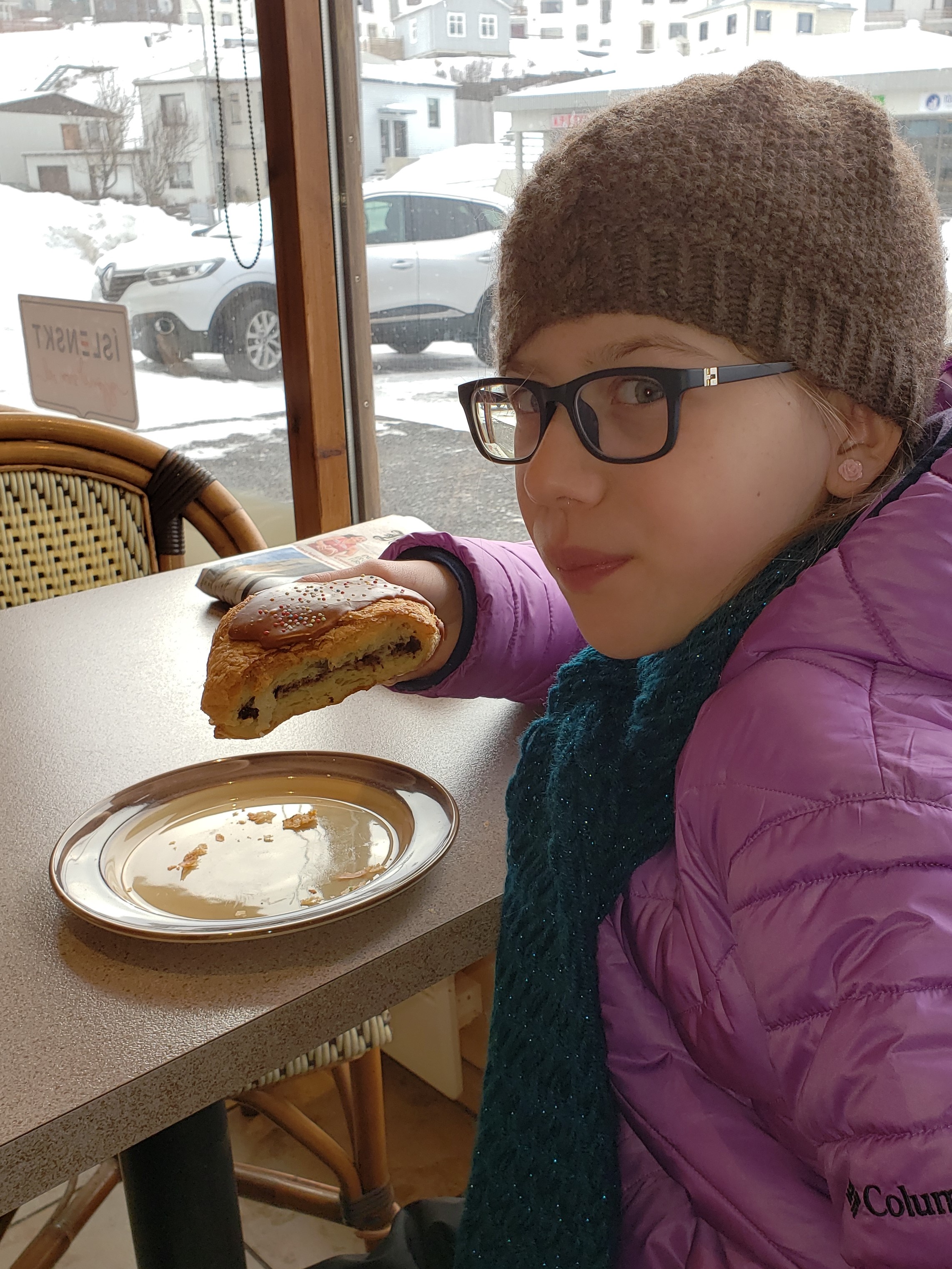
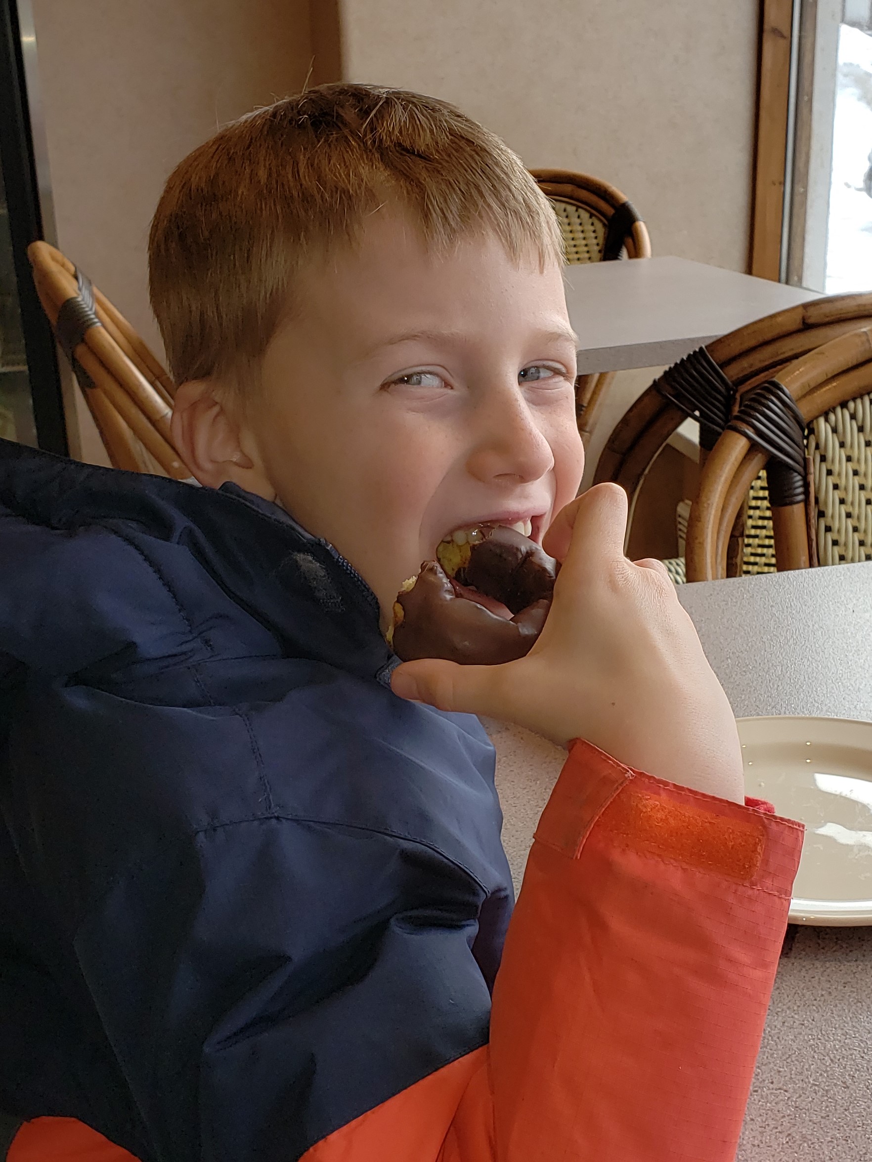
Quick stop for some pastries in Ólafsvík!
Snæfellsjökull is a 700,000-year-old glacier-capped stratovolcano made famous by the novel Journey to the Center of the Earth by Jules Verne, in which the protagonists find the entrance to a passage leading to the center of the earth on Snæfellsjökull.
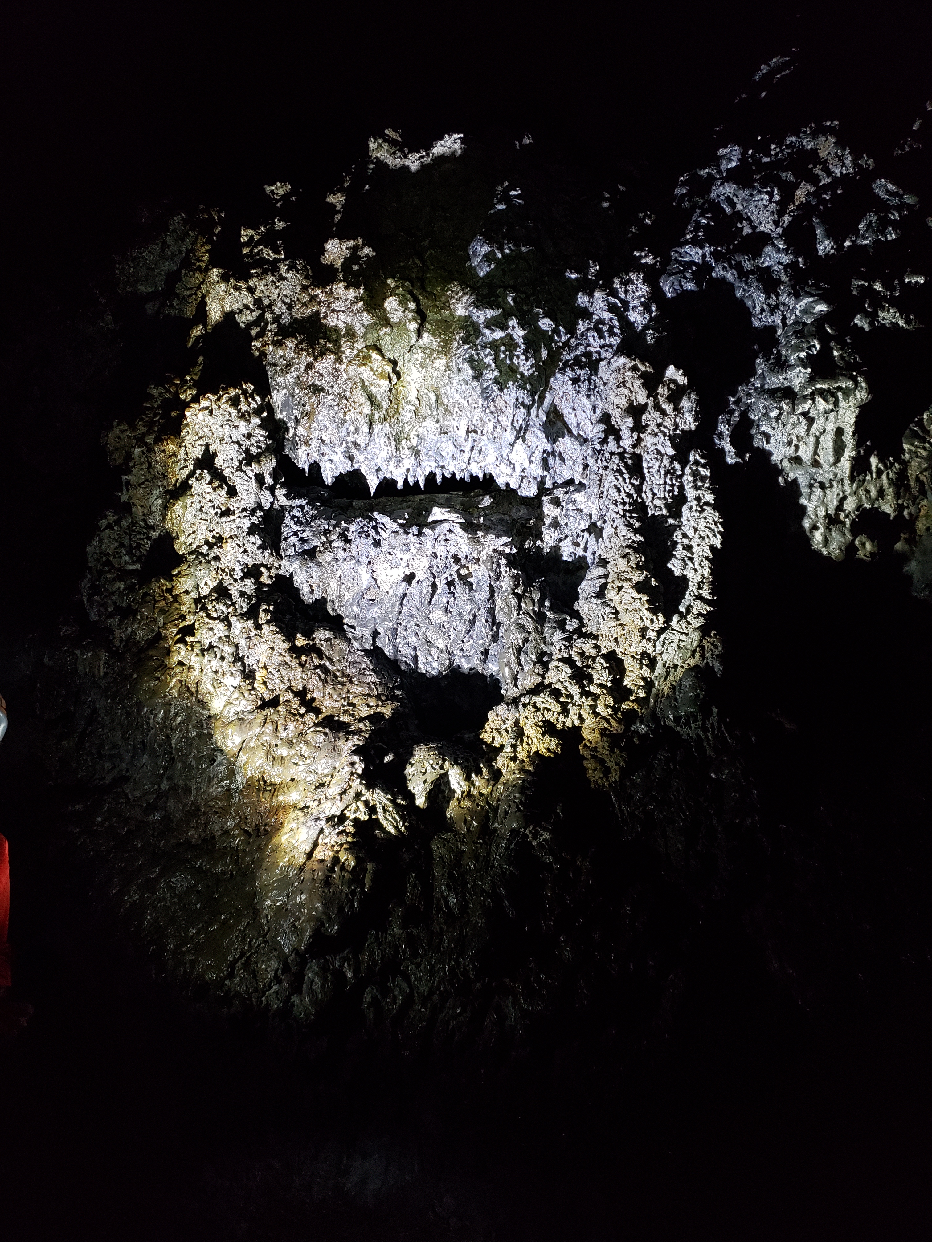
We saw a sign for volcano cave tours, and that sounded awesome, so we bought tickets.

We descended down into the lava tubes created by a volcanic eruption in the nearby Purkholar crater. As the surface lava from the eruption came into contact with the cooler air, it turned to rock, while the lava underneath continued to flow away, leaving a lava tube cave behind.
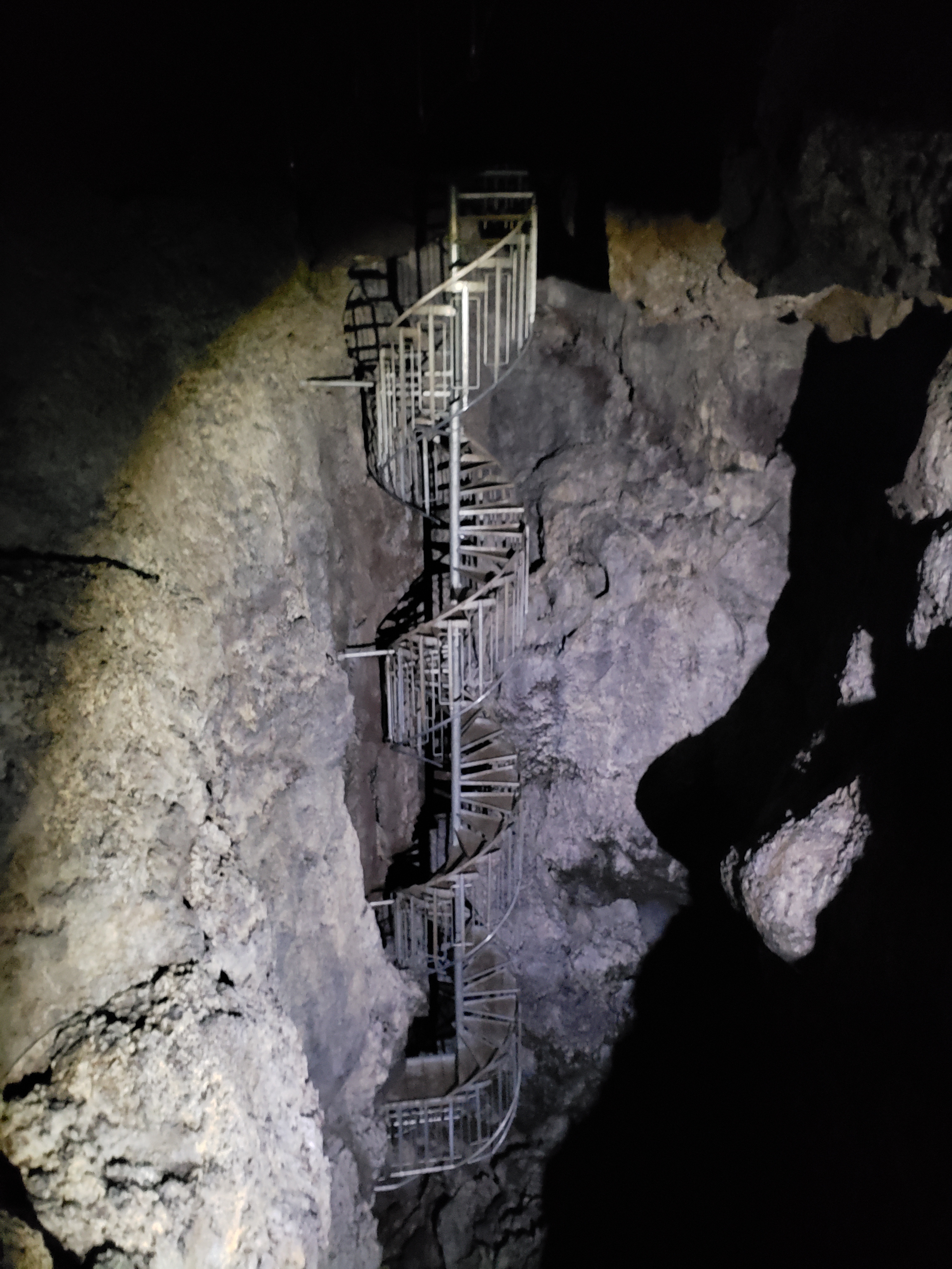
At the deepest we were around 35 meters beneath the surface of the earth.
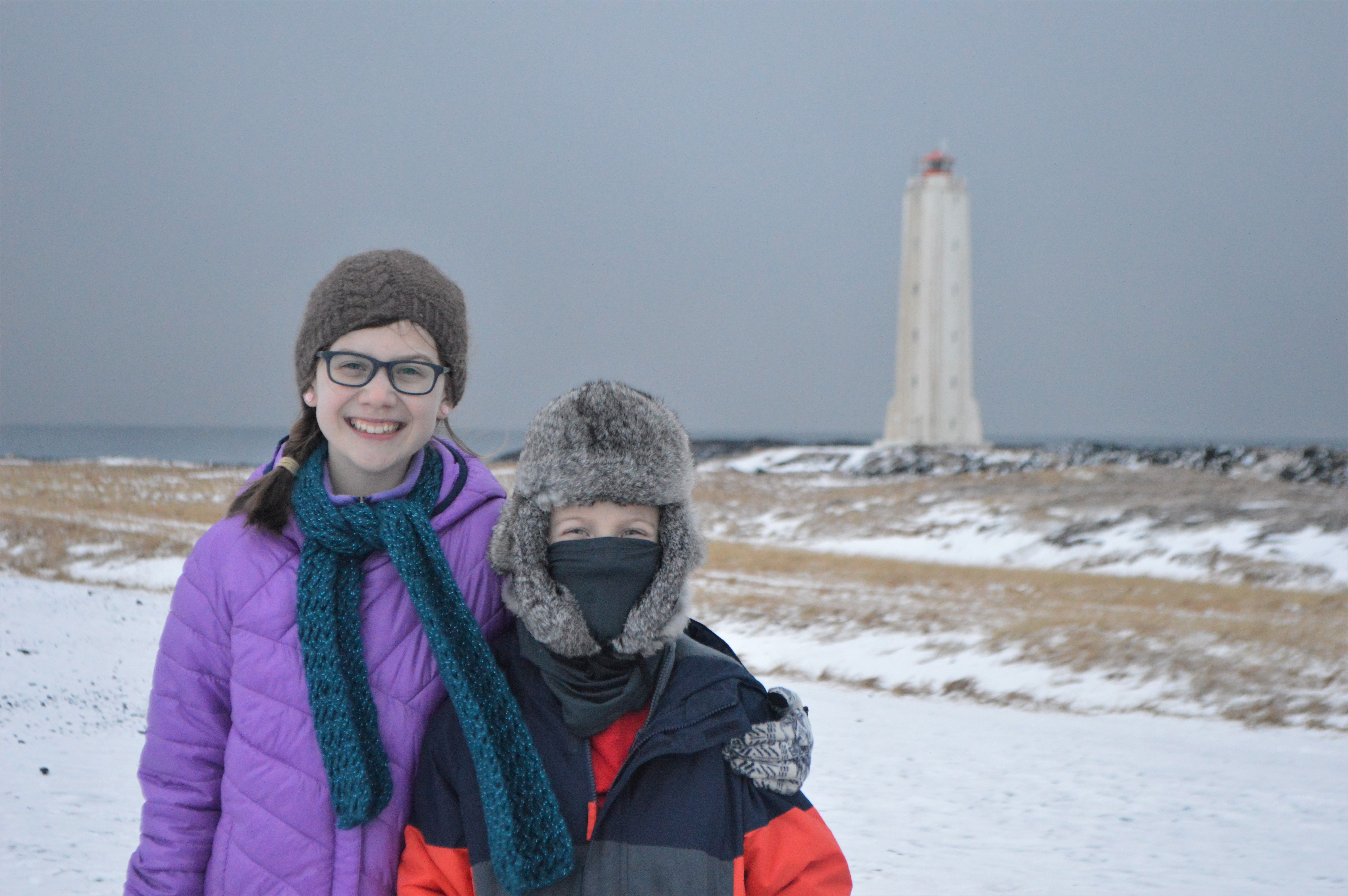
After the tour we drove over to Malarrif Lighthouse.

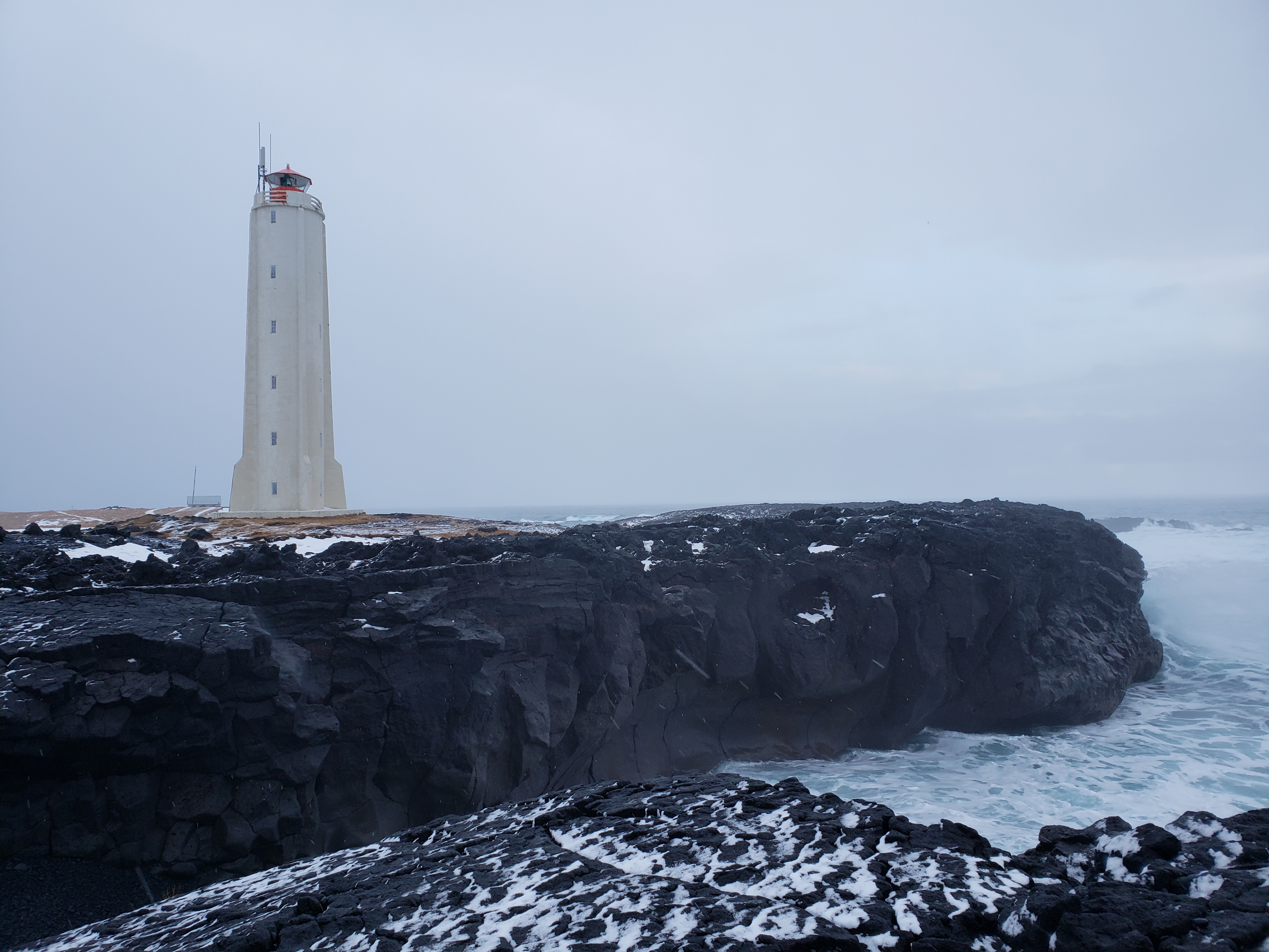
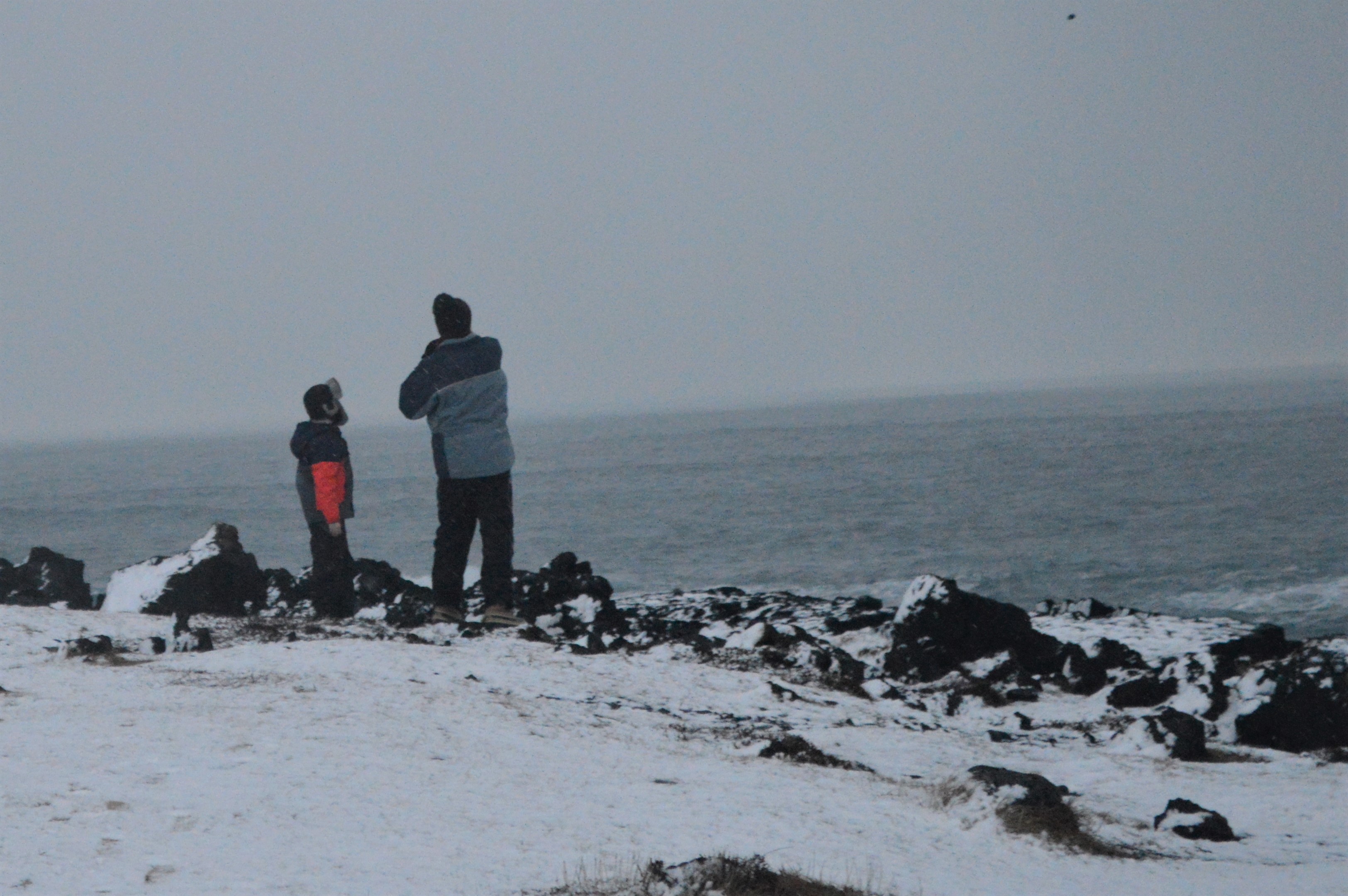
The waves crashing against the basalt cliffs was pretty awesome.
The volcanic beach was made up of black stones—ranging in size from marble to golf-ball size—that had been smoothed by tumbling around in the waves.
The sounds of the stones in the waves was deafening!
We started to hike toward the Lóndrangar basalt pillars…
…but decided we were too cold, wet, and tired. Then we saw a zipline, right there in the middle of nowhere!
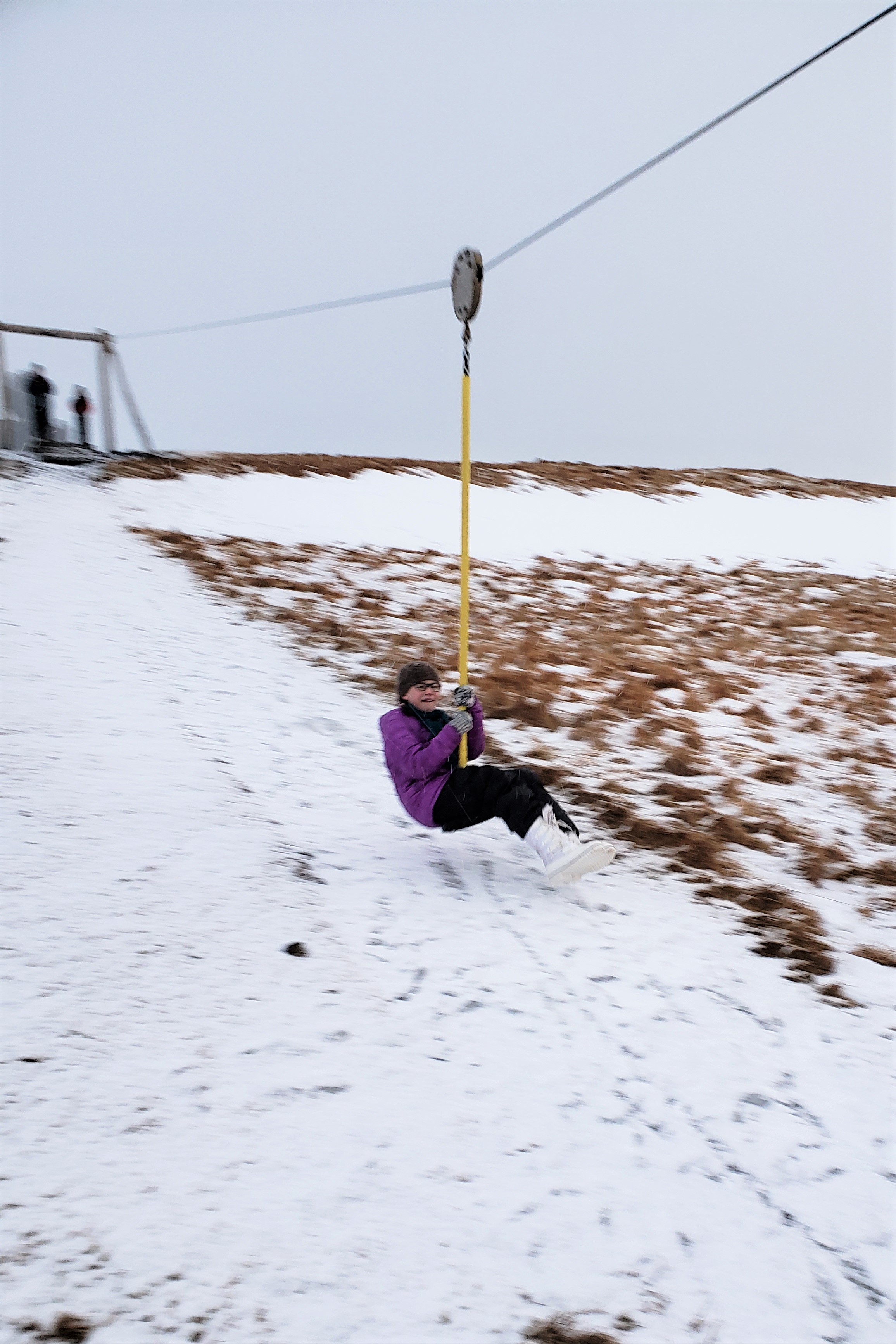
Finding a playground zip line on our international trips has become a tradition!
On Wednesday, February 13, we packed up our tiny cabin and drove west to Húsafell, the starting point for our tour of Langjökull glacier. It was a beautiful day for driving.
We drove along Route 1, through the tunnel under Hvalfjörður fjord. The tunnel is 5,770 meters (3.5 miles) long and reaches a depth of 165 meters (541 feet) below sea level.
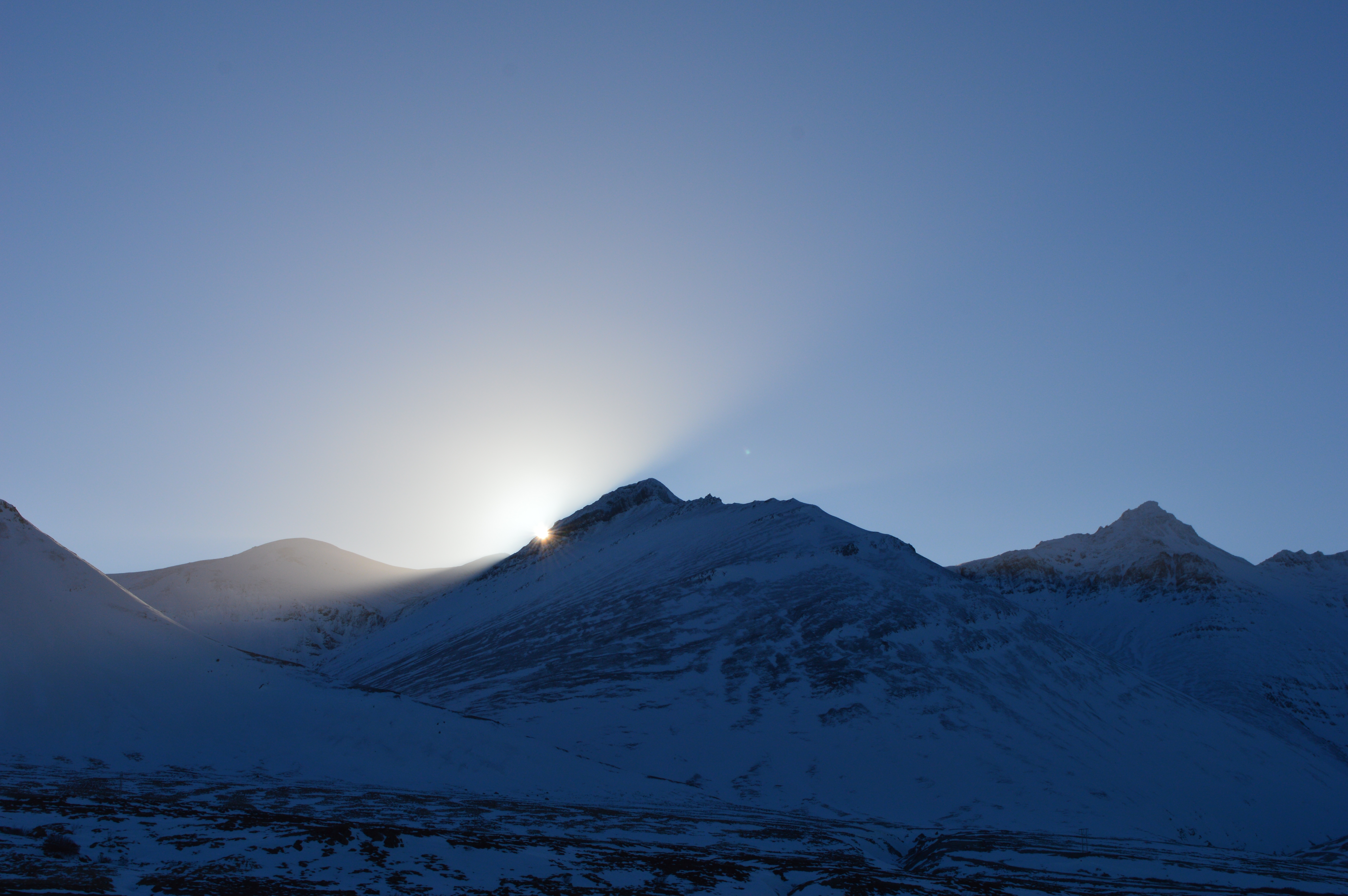
This is the sun at about noon, it just doesn’t get very high in the winter.
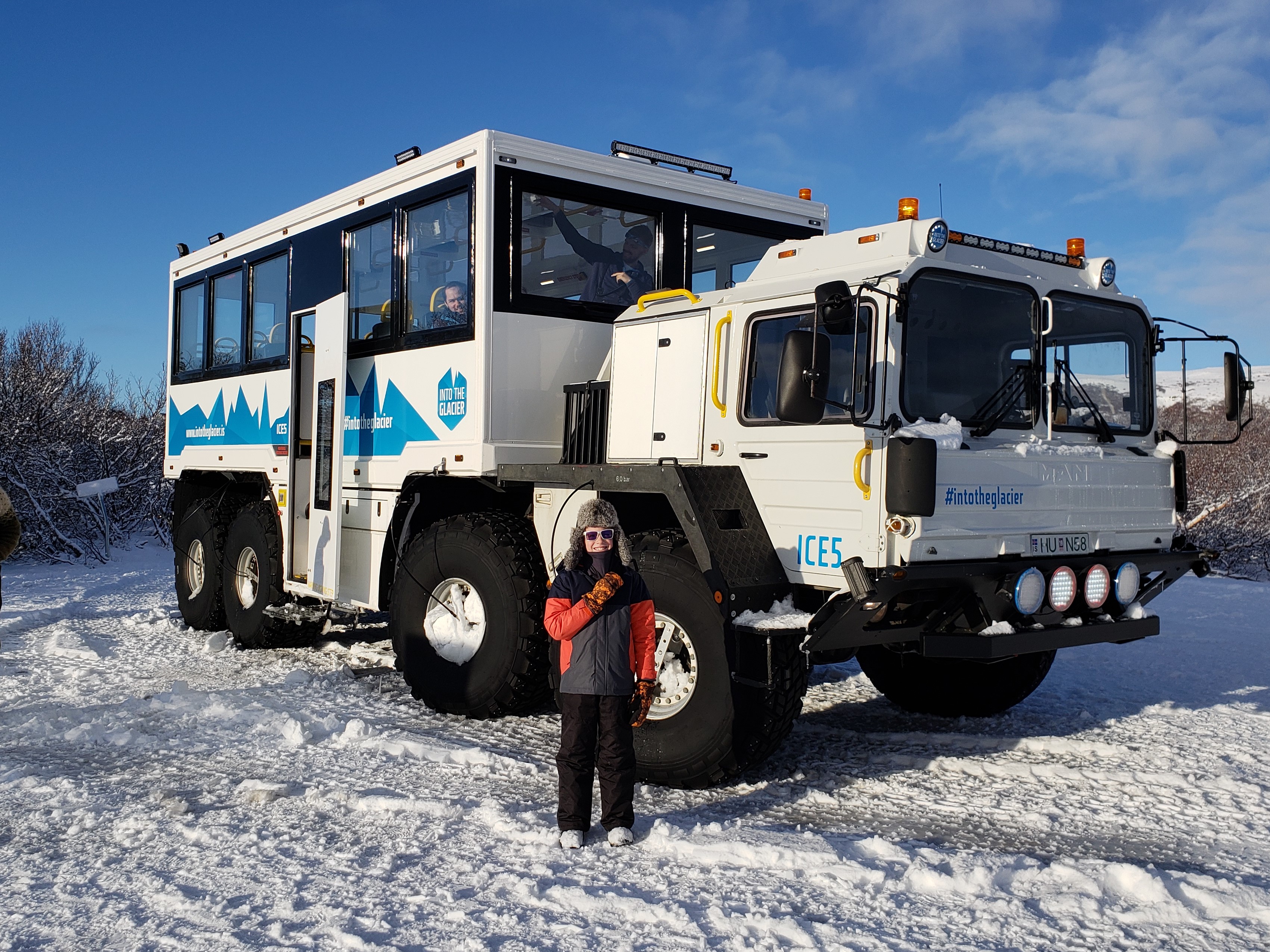
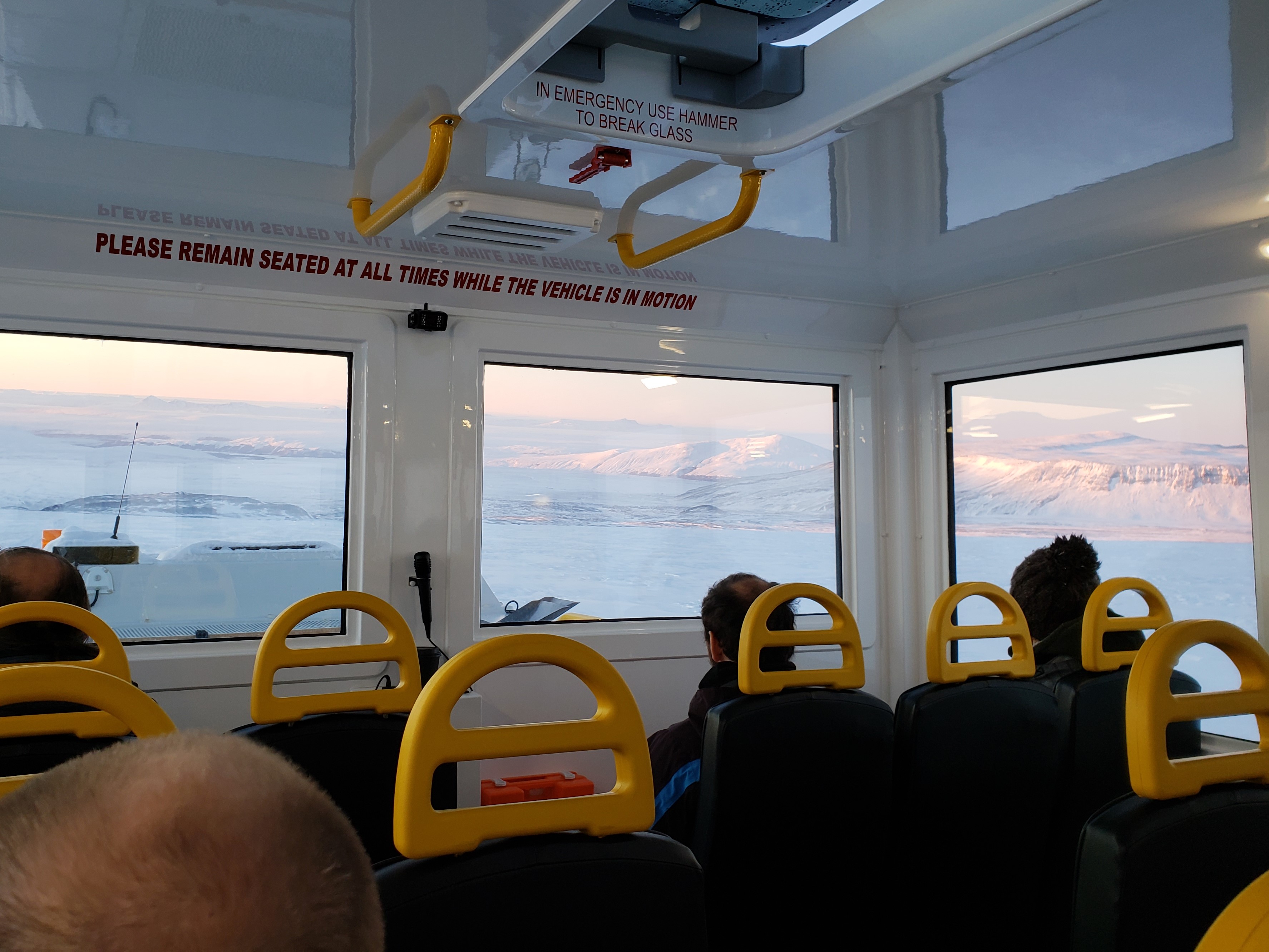
Upon arriving in Húsafell we boarded Ice5, a modified UN missile launcher, that would be our ride onto the glacier. It had a system to deflate its huge tires once we reached the edge of the glacier in order to give it more traction.
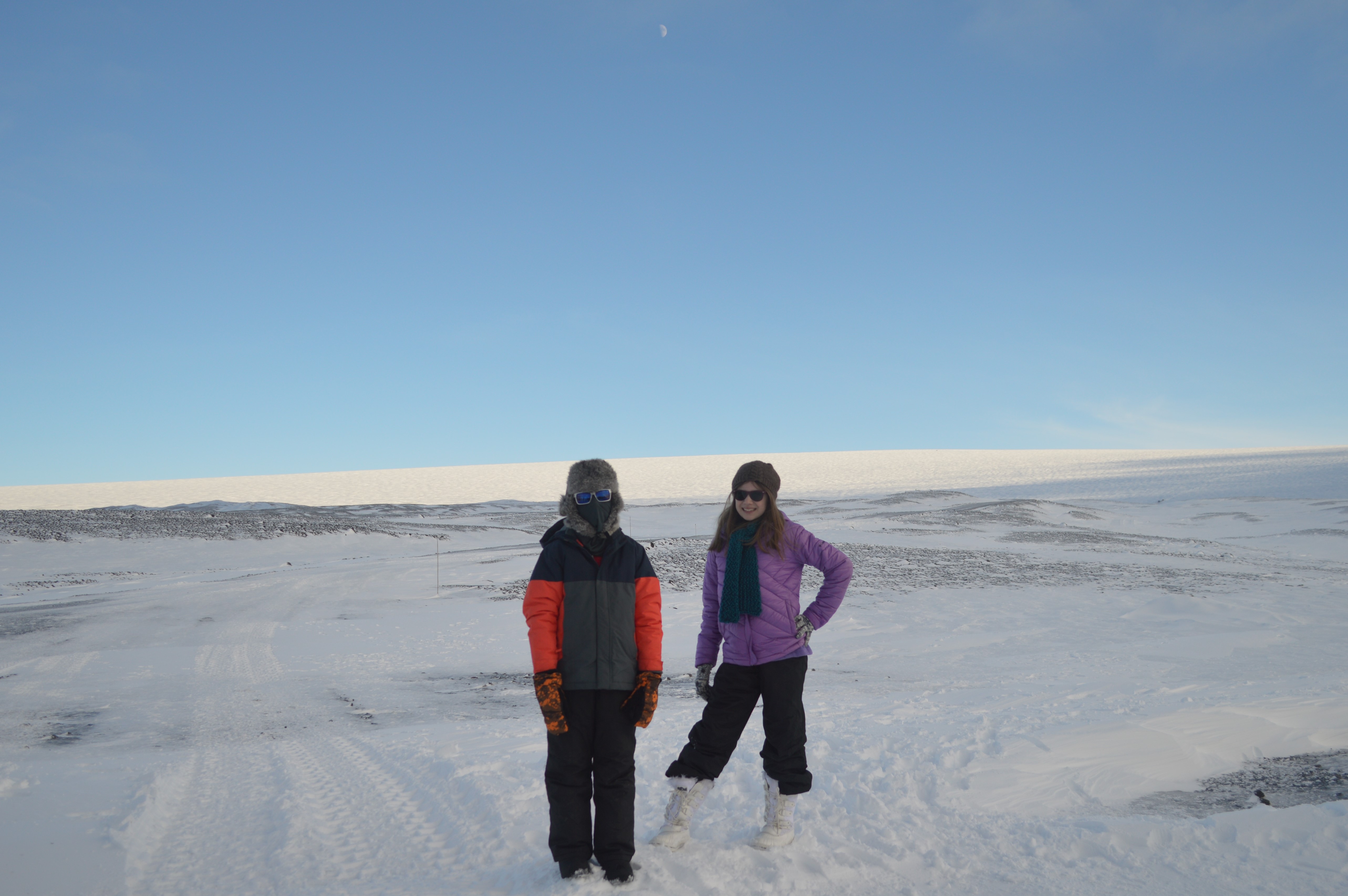
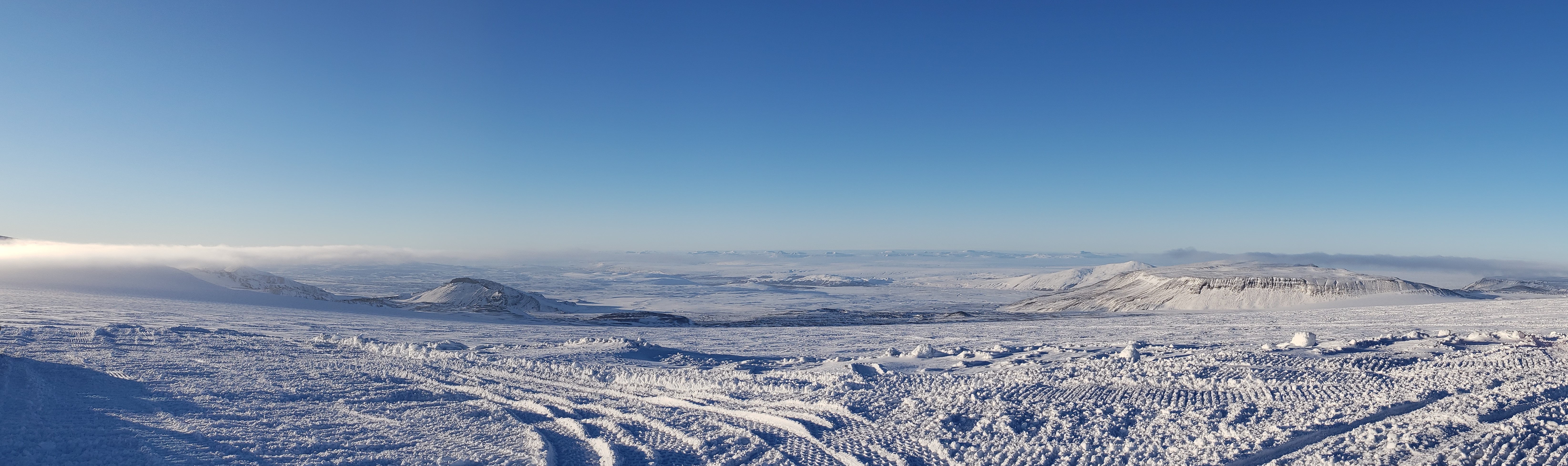
First, we stopped at Klaki Base Camp on the edge of the glacier. Langjökull glacier is the second largest in Iceland. It covers an area of about 950 km² (367 square miles) and most of it rises between 1200 and 1300 meters (around 4,000 feet) above sea level.
The southwestern part of the ice cap is called Geitlandsjökull, which rises to an elevation of 1400 metres. To the south of Geitlandsjökull and separated from the main ice cap, is the smaller (1350 m) Þórisjökull, which sits atop an irregular table mountain. According to legend, it was named after the troll Þórir, who lived in a green valley in the pass between the two glaciers.
We re-boarded the Ice5 and drove onto the glacier.
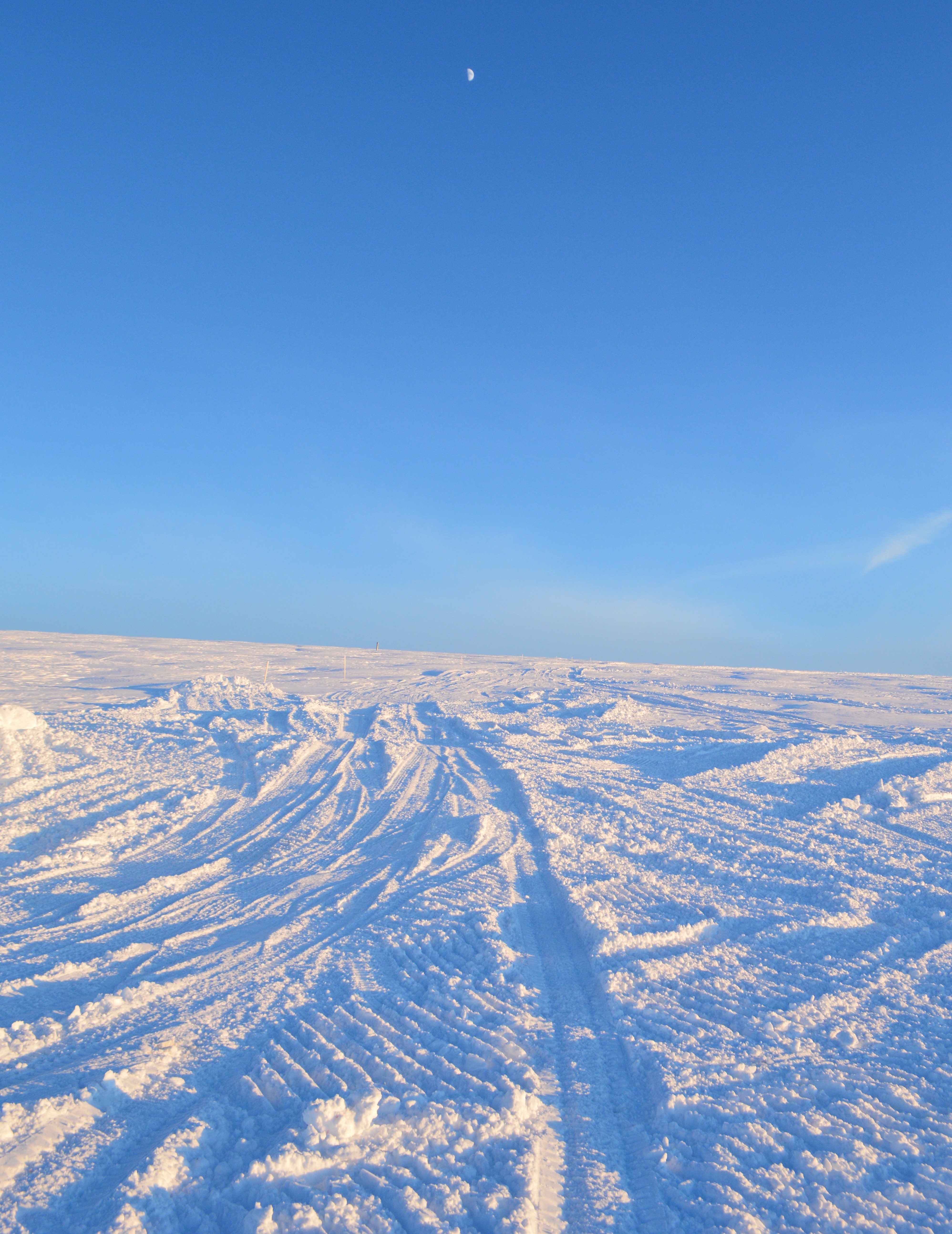
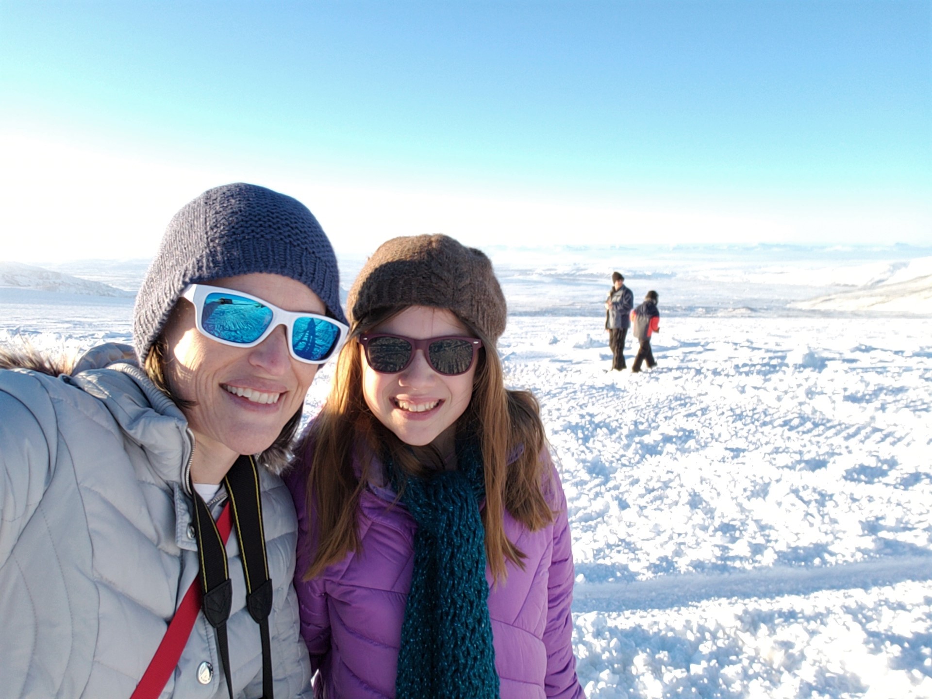
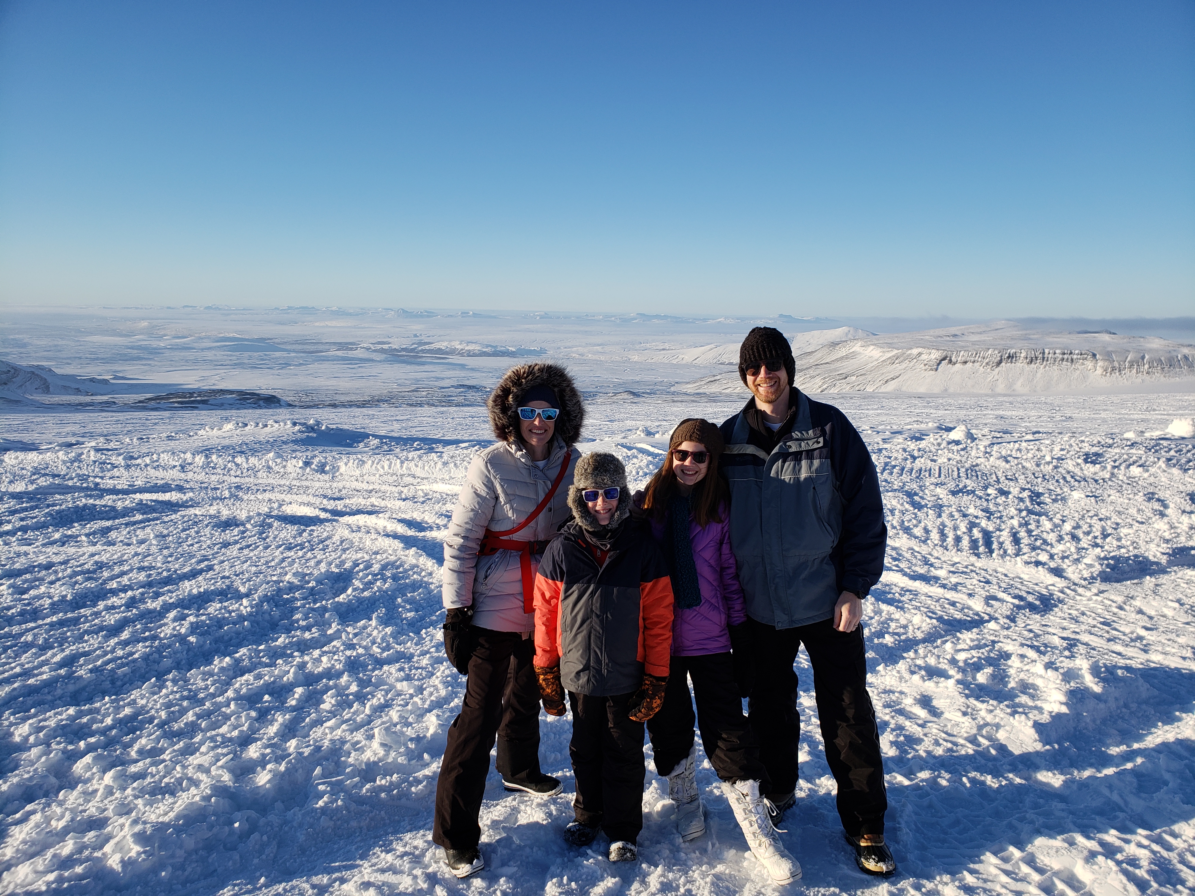
The view from the glacier was incredible, the weather could not have been more perfect.
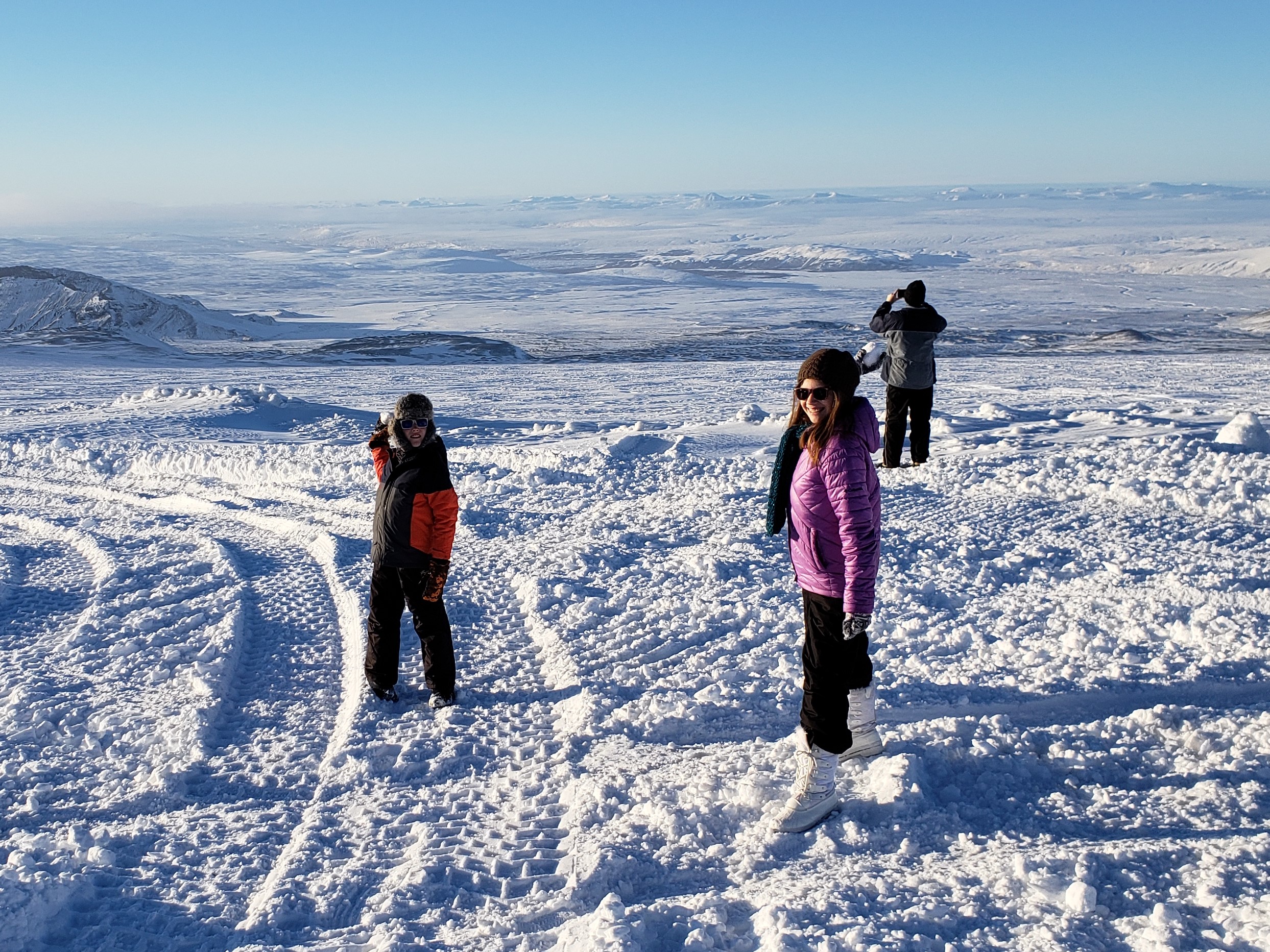
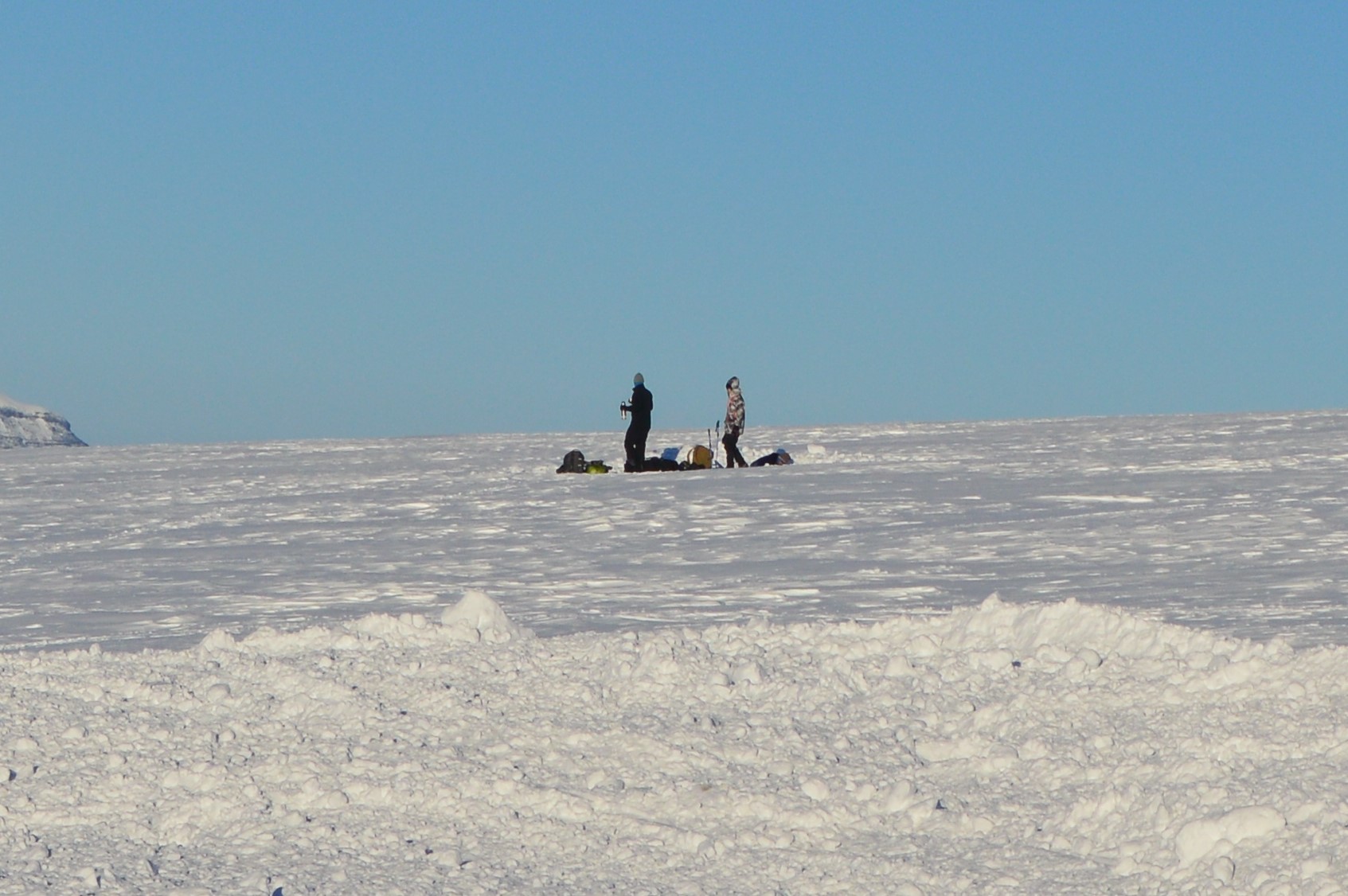
A team of scientists was gathering data nearby.
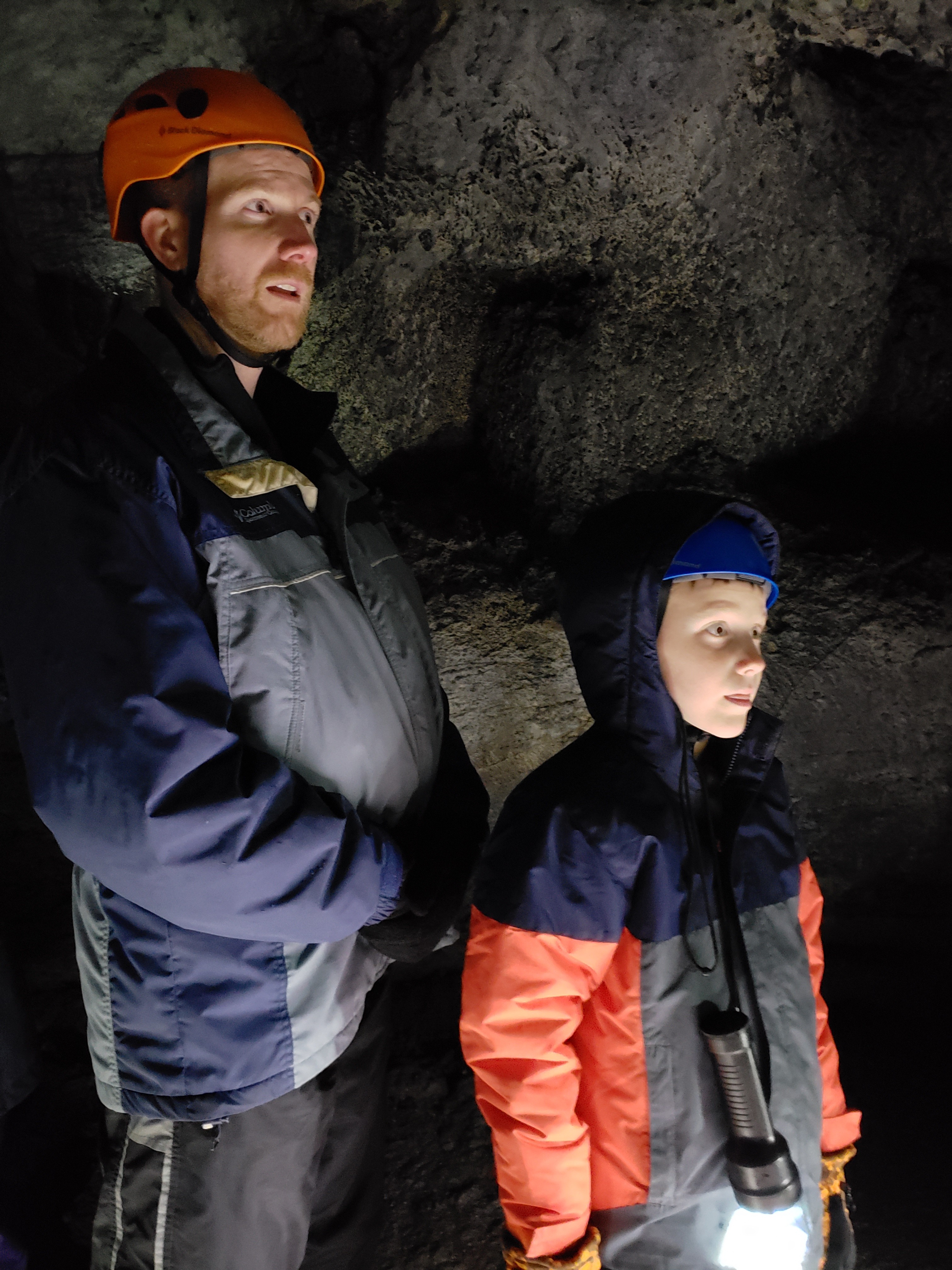
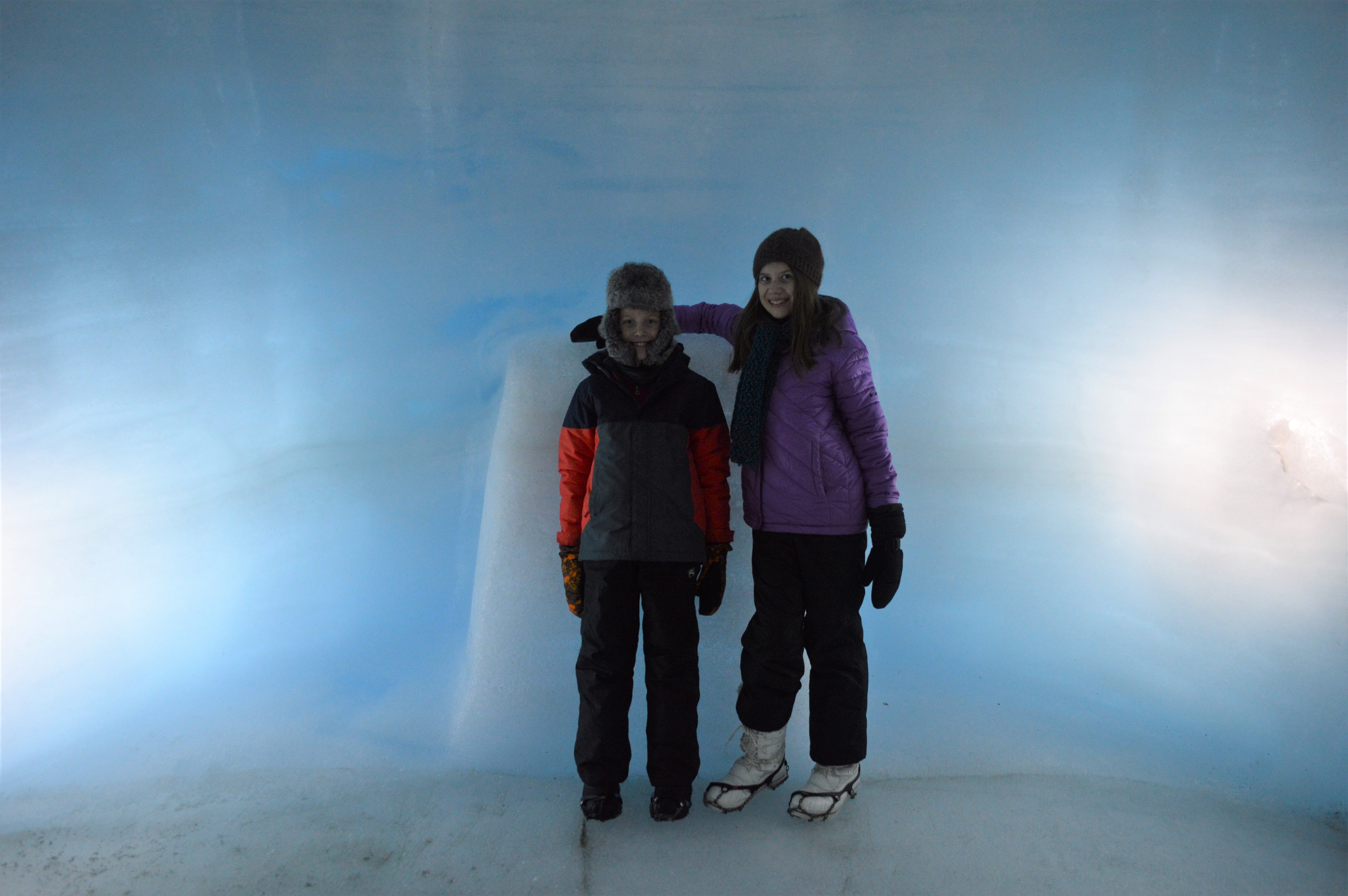
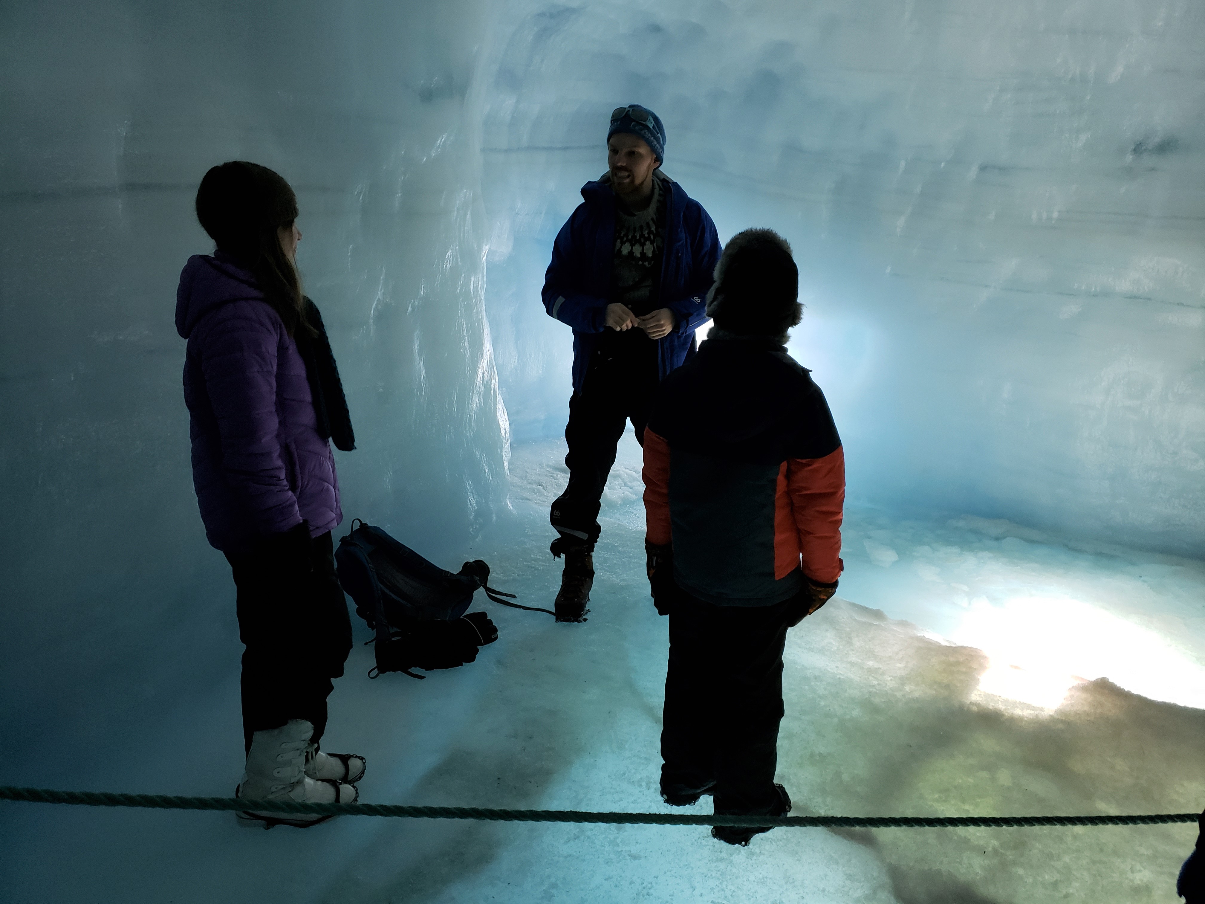
Once inside the tunnel, we put crampons on our boots so that we could travel the icy tunnels without slipping.
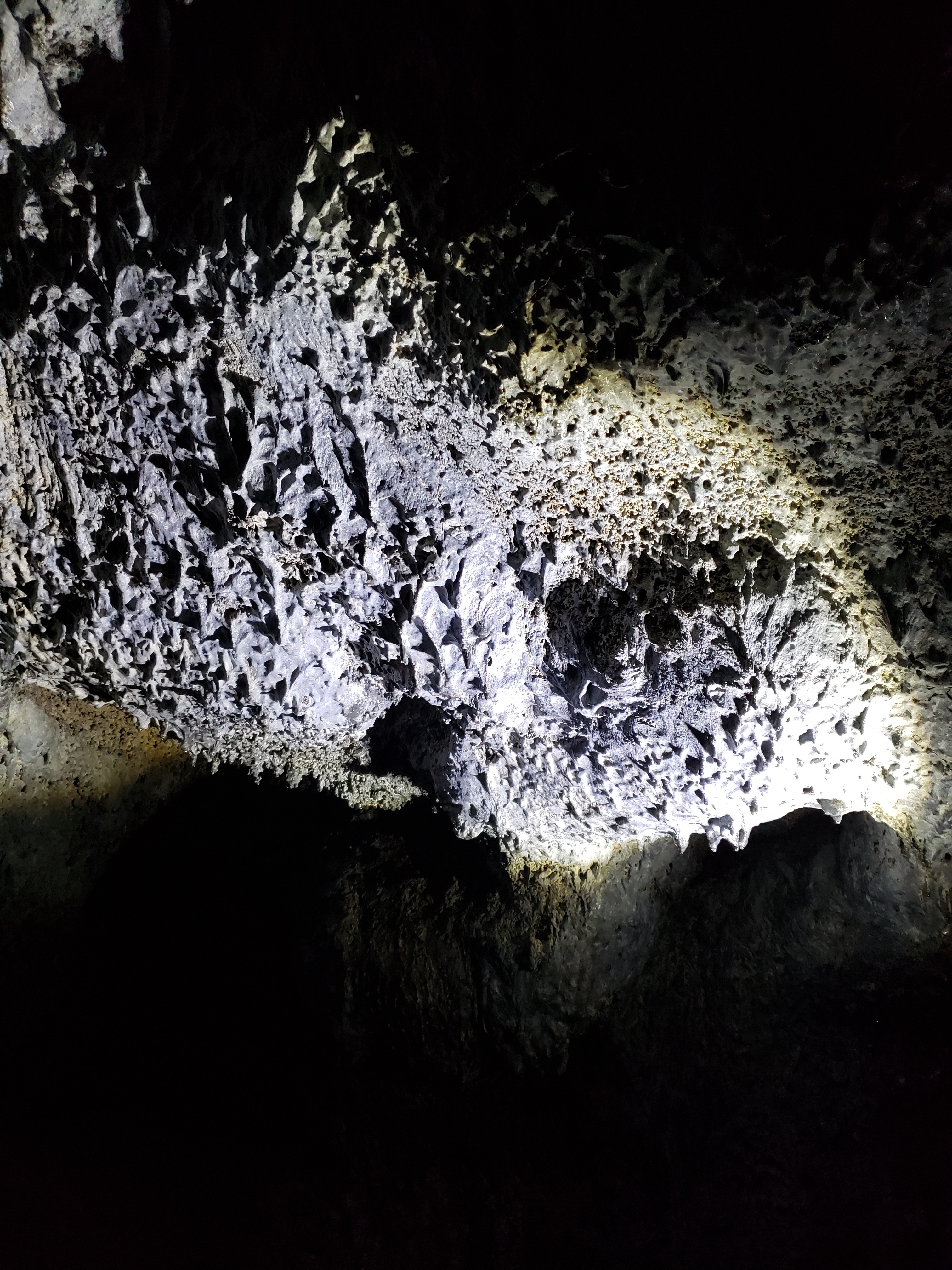
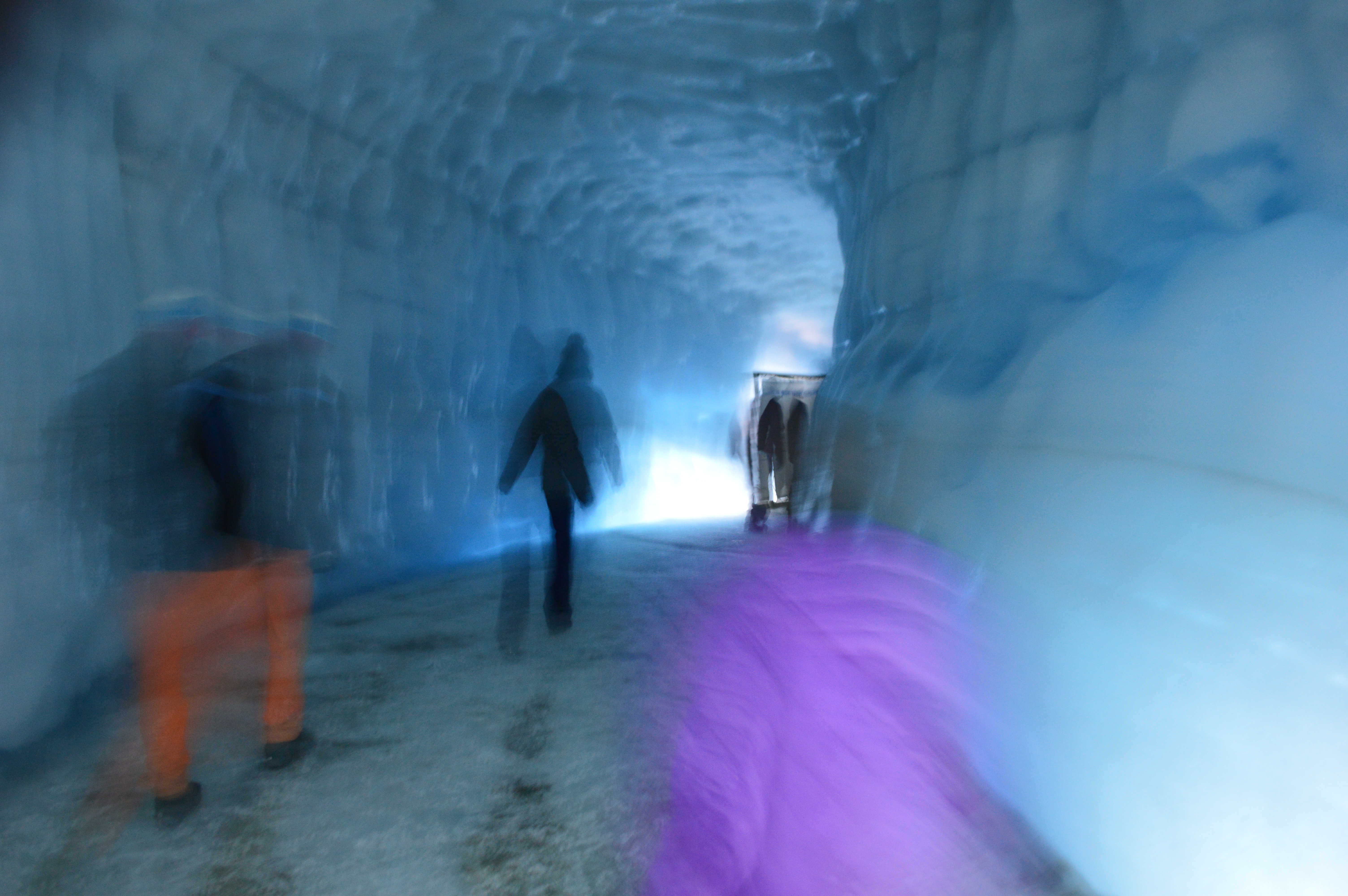
The lighting inside the glacier wasn’t great for photos, but this one shows the compact layers of the glacier, each representing a year in the glacier’s life. There was a particularly dark layer of dirt in the tunnel which we learned was the result of a volcanic eruption that year.
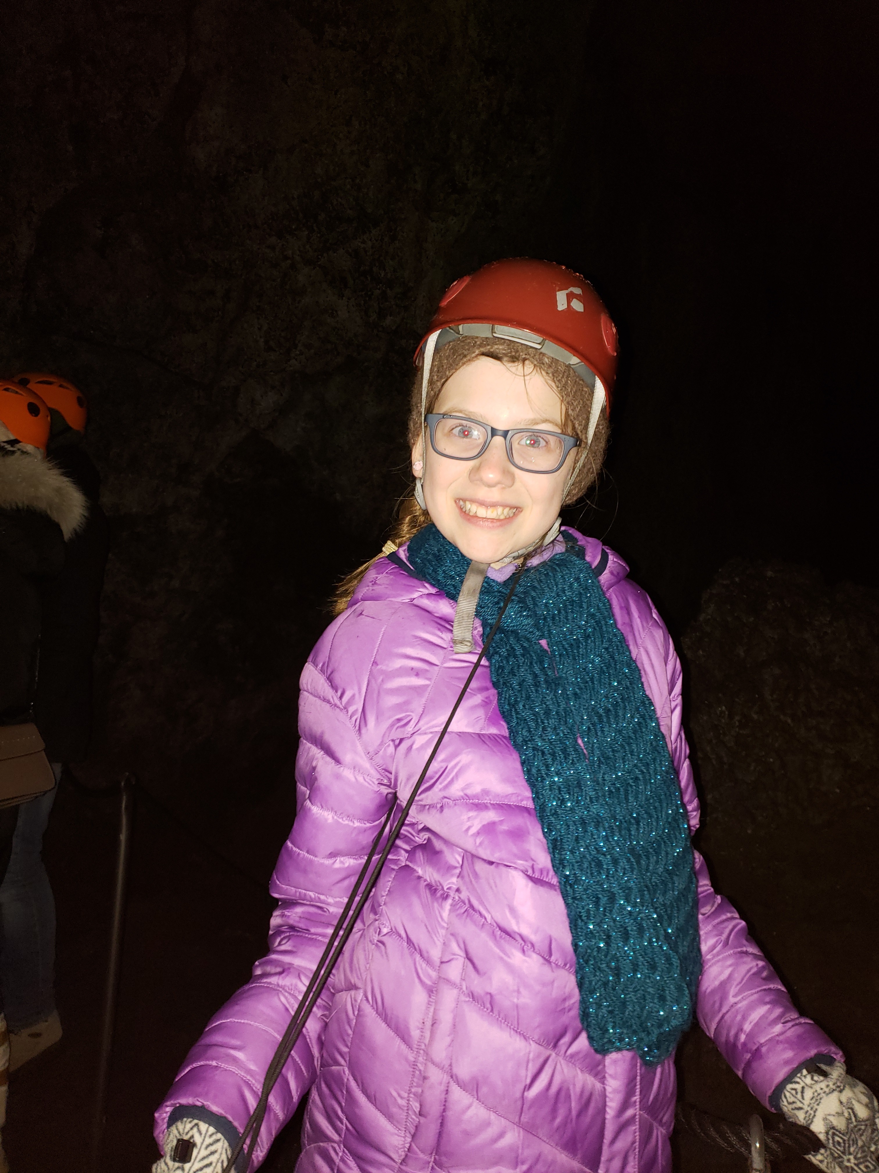
The temperature inside a glacier is a constant 32 degrees—meaning that ice doesn’t melt and water doesn’t freeze. The kids helped our guide demonstrate this at a particularly deep pond inside the glacier.
Here’s a video of their reward for helping… getting to throw large chunks of ice into the water!
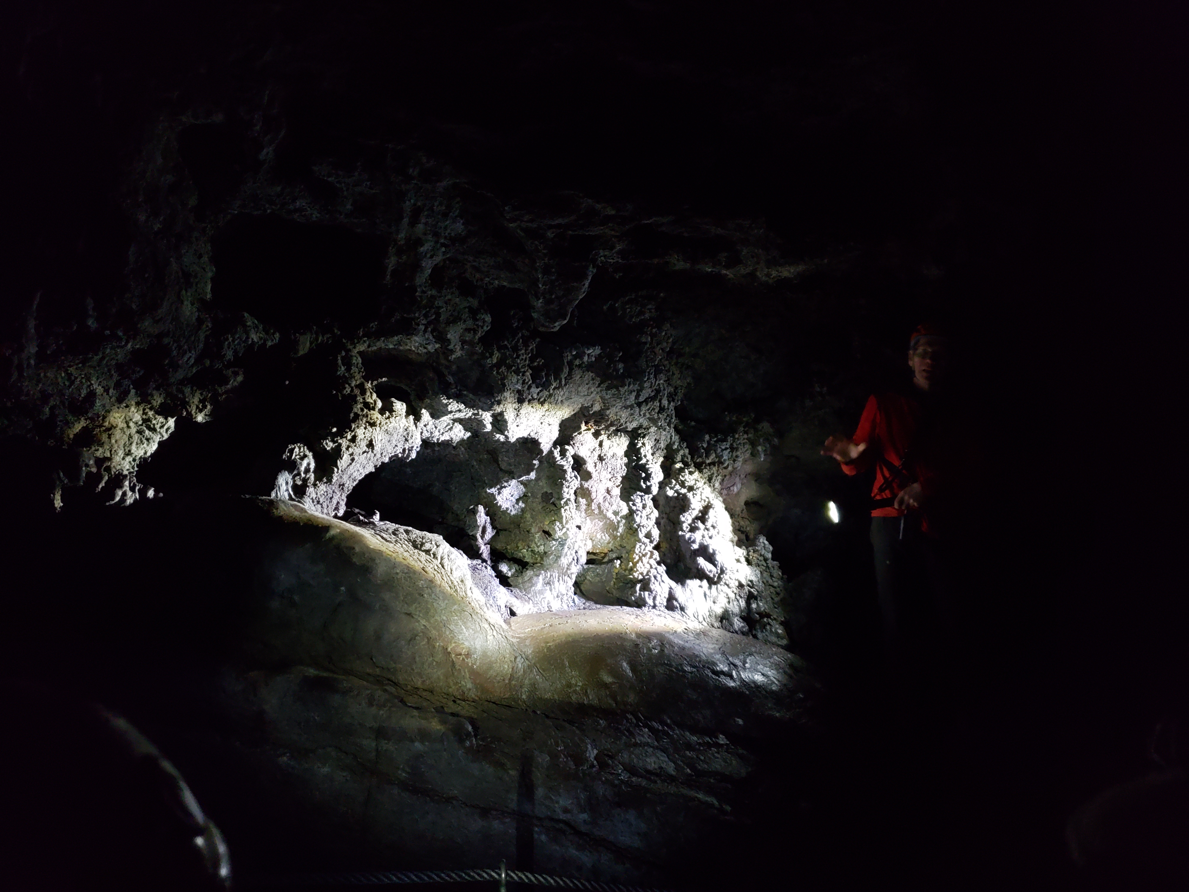
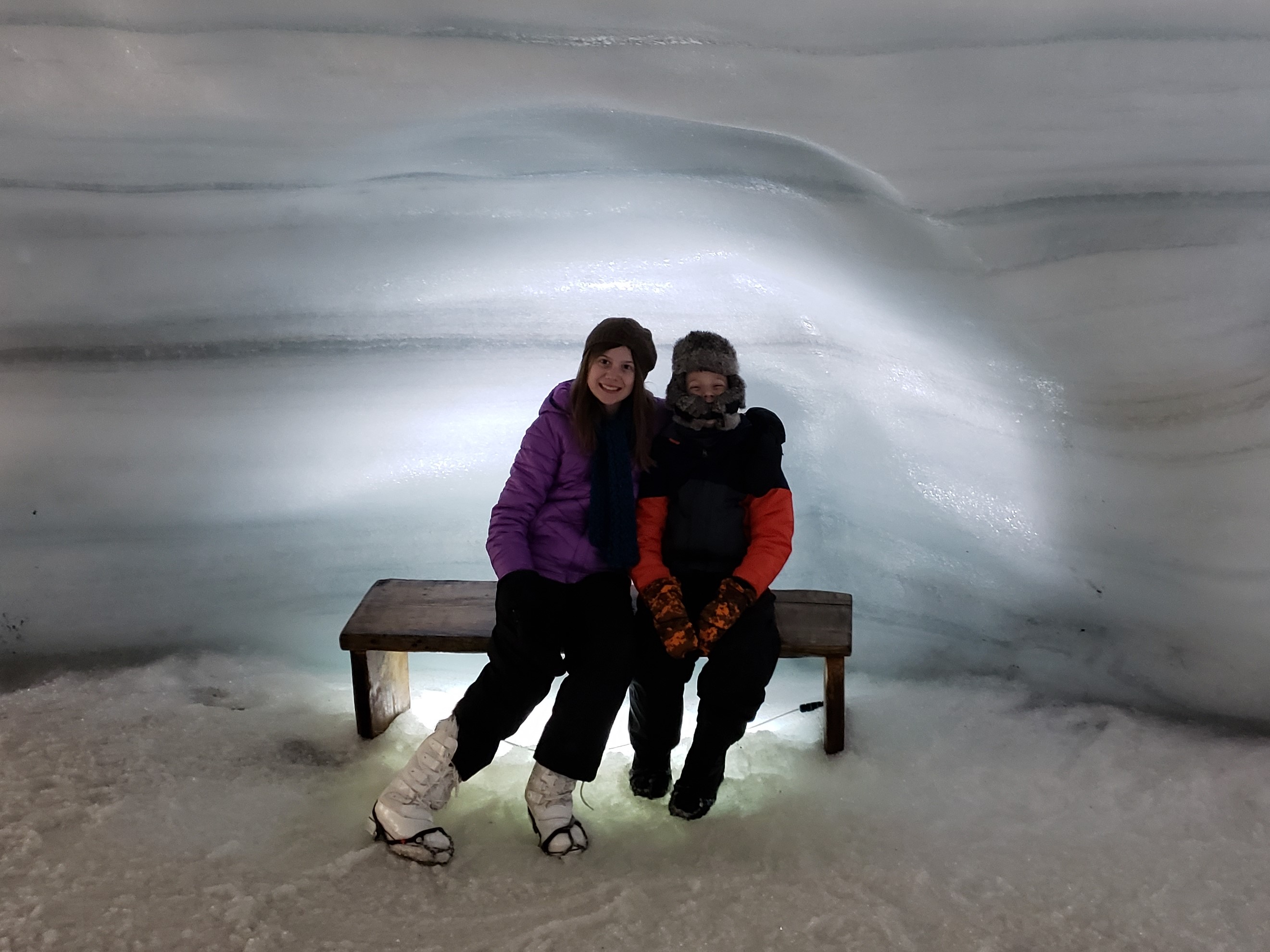
The ice chapel.

There was a large crevasse in the glacier that we crossed by bridge and the crevasse was full of troll boogers, at least that’s what our guide told us it was.

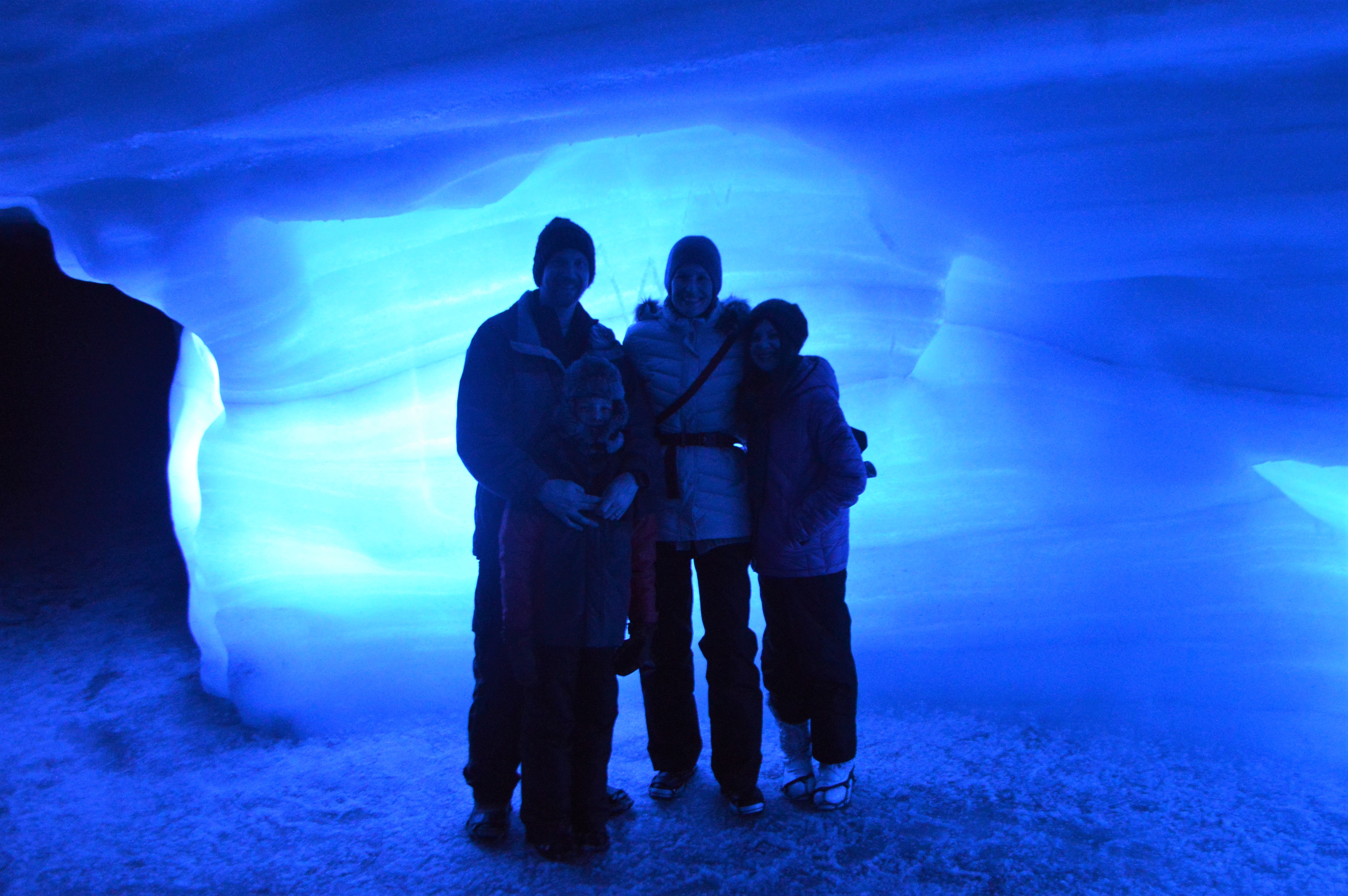
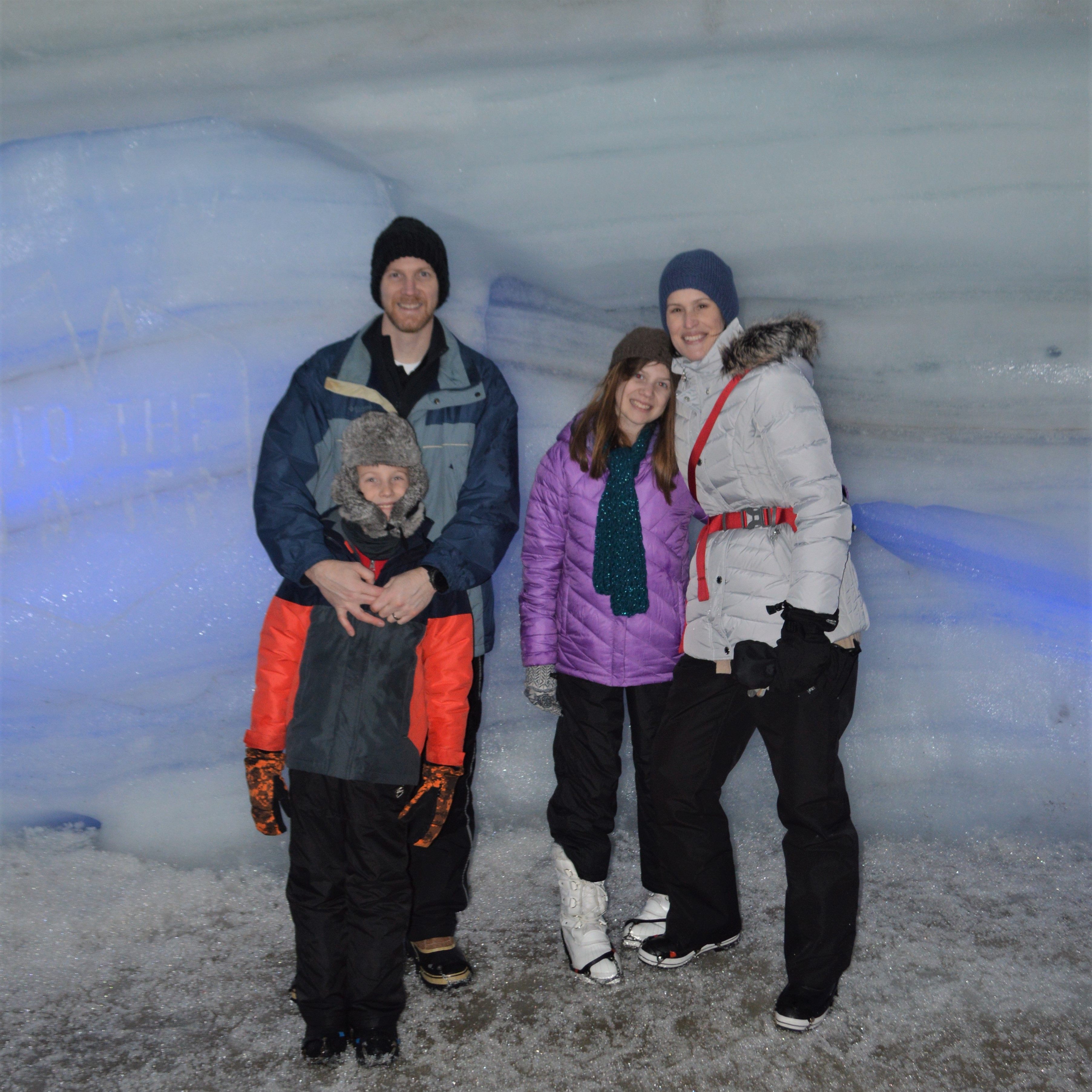
We really wanted to go to Vatnajökull and hike the natural glacier caves made by summer runoff, but because we weren’t going to make it to that side of Iceland and because glacier cave hiking is more dangerous, we opted for this man-made glacier “cave” instead. I’m sure the natural ones are really incredible, but this one was a lot cooler that I thought it would be. We had a good time.
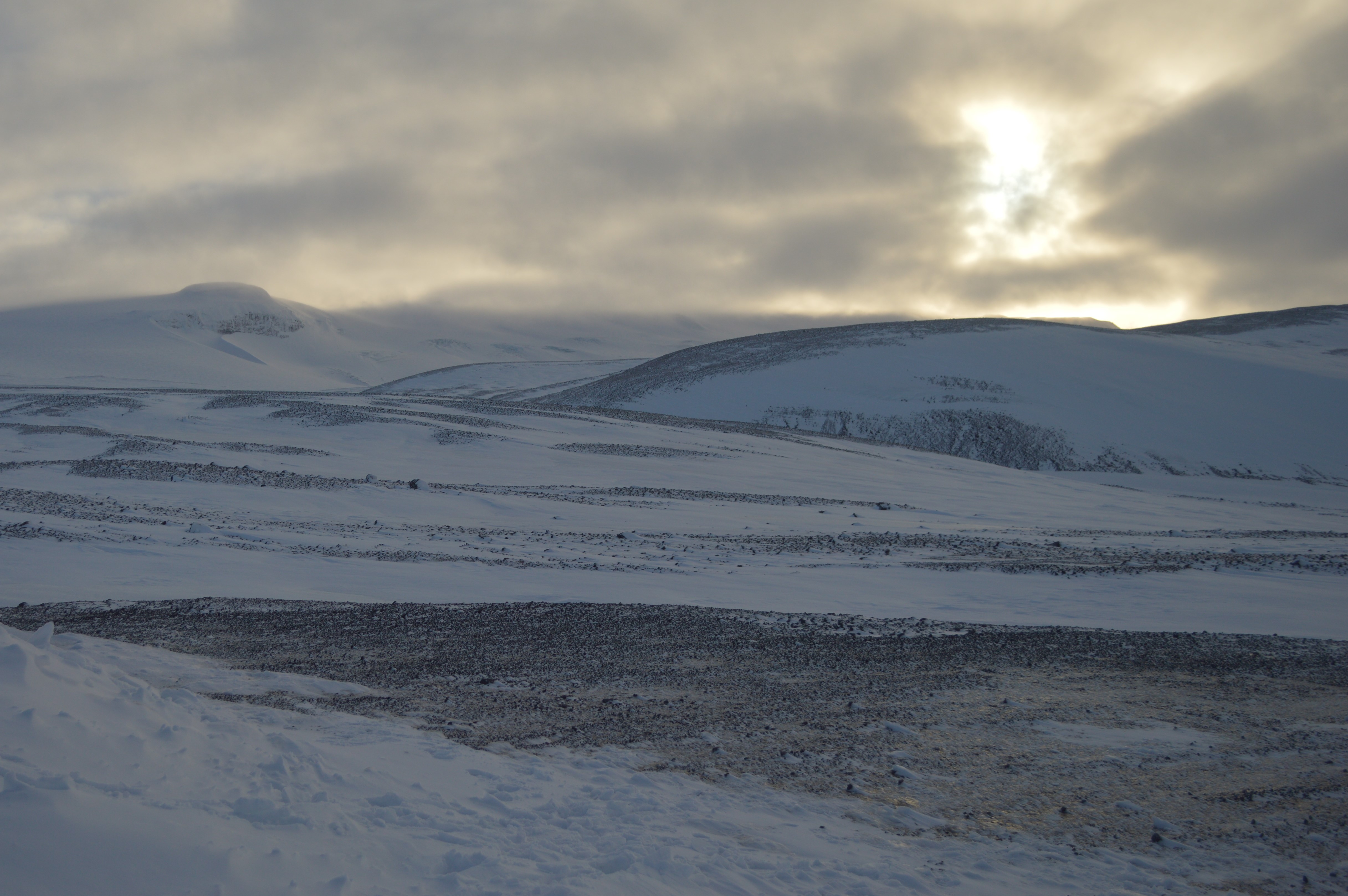
Here are a few photos from our drive back down the glacier.

Once back in our own car, we found a restaurant for dinner and then drove to our hostel in Grundarfjörður on the Snæfellsnes peninsula.
On Tuesday, February 12, we set out to explore the Golden Circle. We didn’t have any specific sites in mind, we figured that we would stop wherever something looked cool. As we drove down the highway, we saw a sign for the Brúarfoss waterfall parking lot. The internet said it was an easy 2 mile hike and there were several waterfalls along the way so we parked and headed out.
Hiking through ankle-deep snow in heavy, clunky, snow boots, was EXHAUSTING! By the time we reach this sign, about 1 km from the car, our legs were burning. Soon after, we were forced to venture away from the river, across a snow-covered field, and there was no clear trail. We thought for sure that we were lost, but after crossing a barbed-wire fence onto a private road, we saw a sign pointing us to the waterfall.

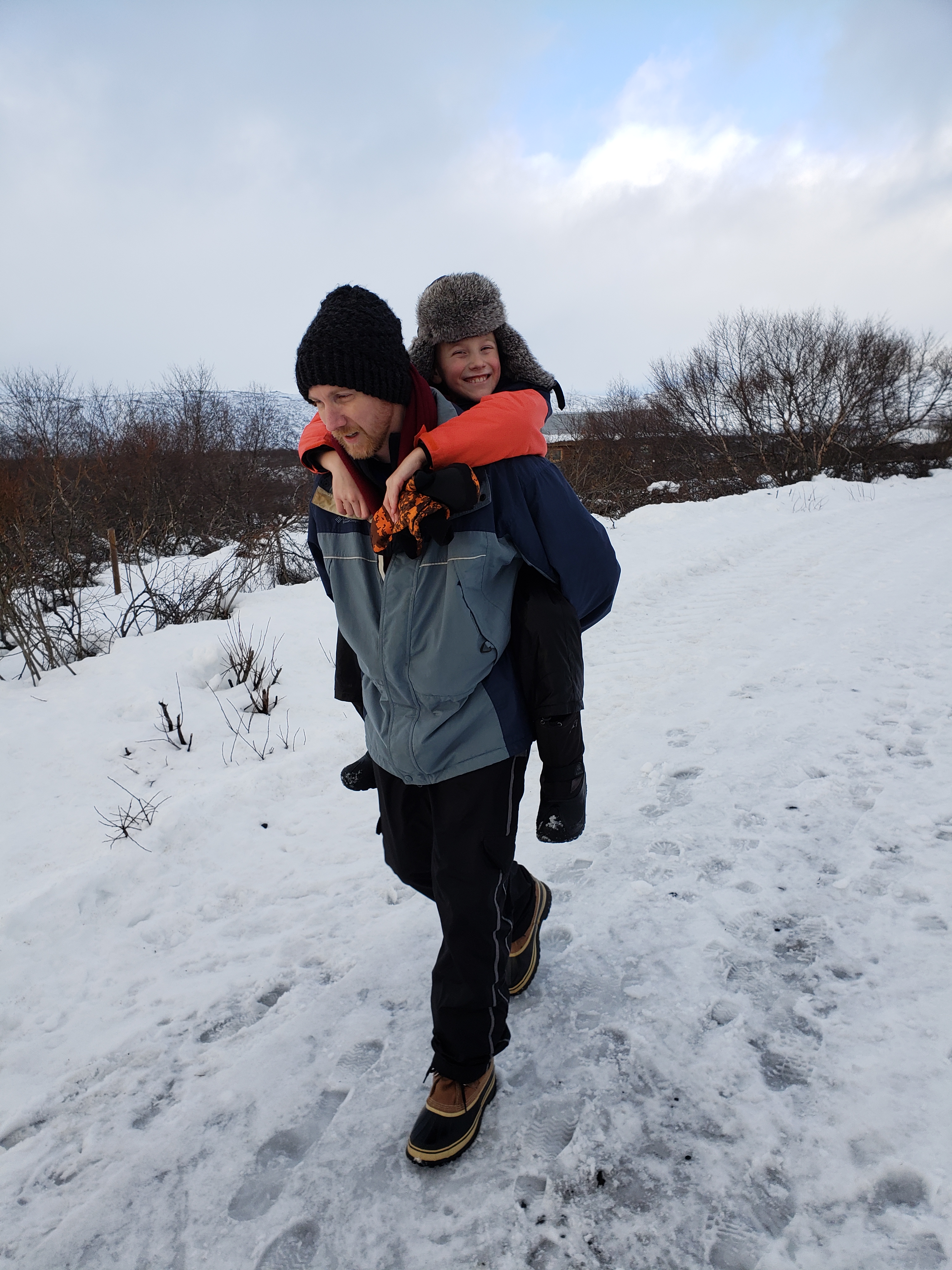
The road was fairly steep and Carter just couldn’t keep lifting those big-ole boots with his tiny legs. Good thing Daddy works out! (That smile says it all.)
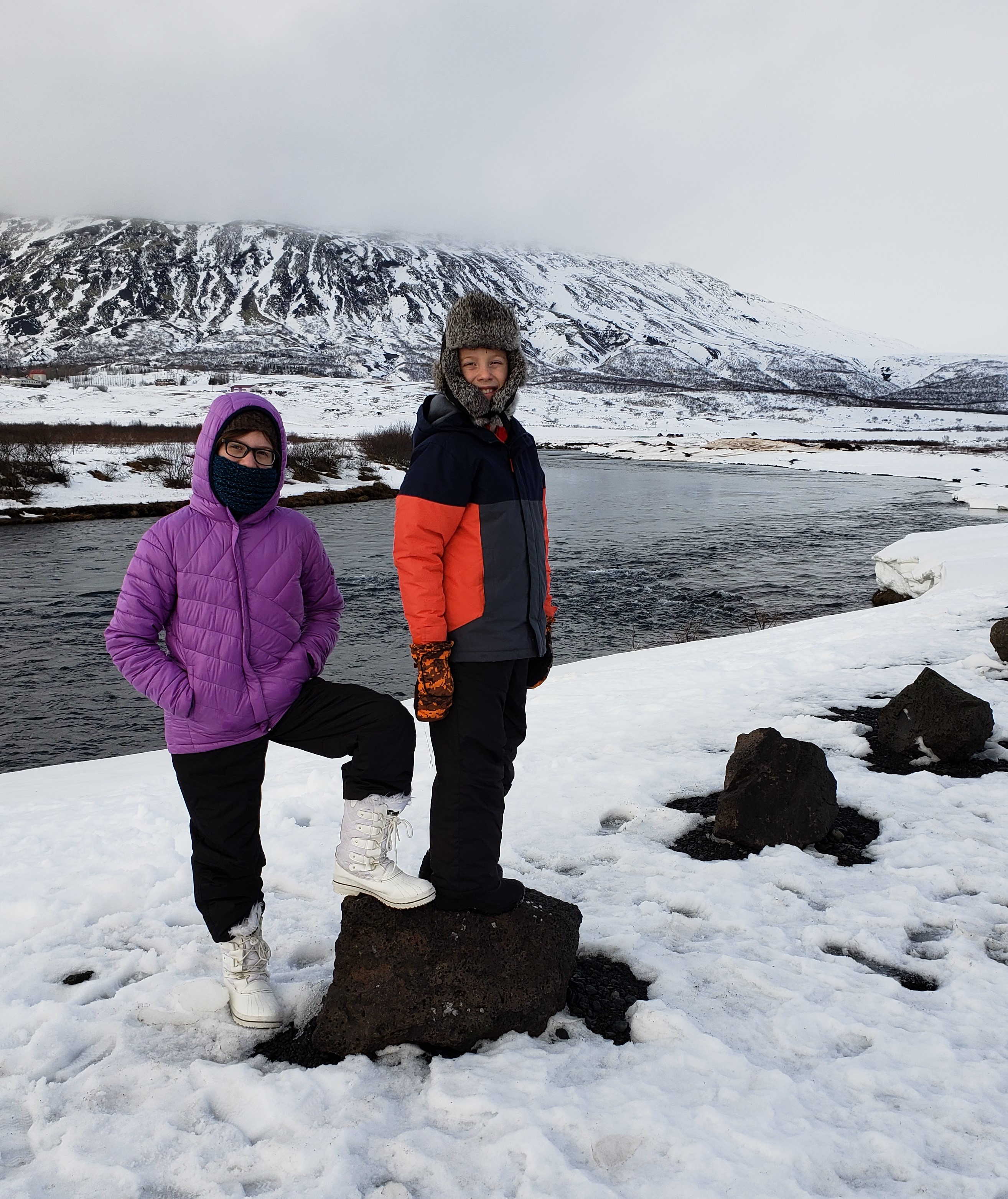
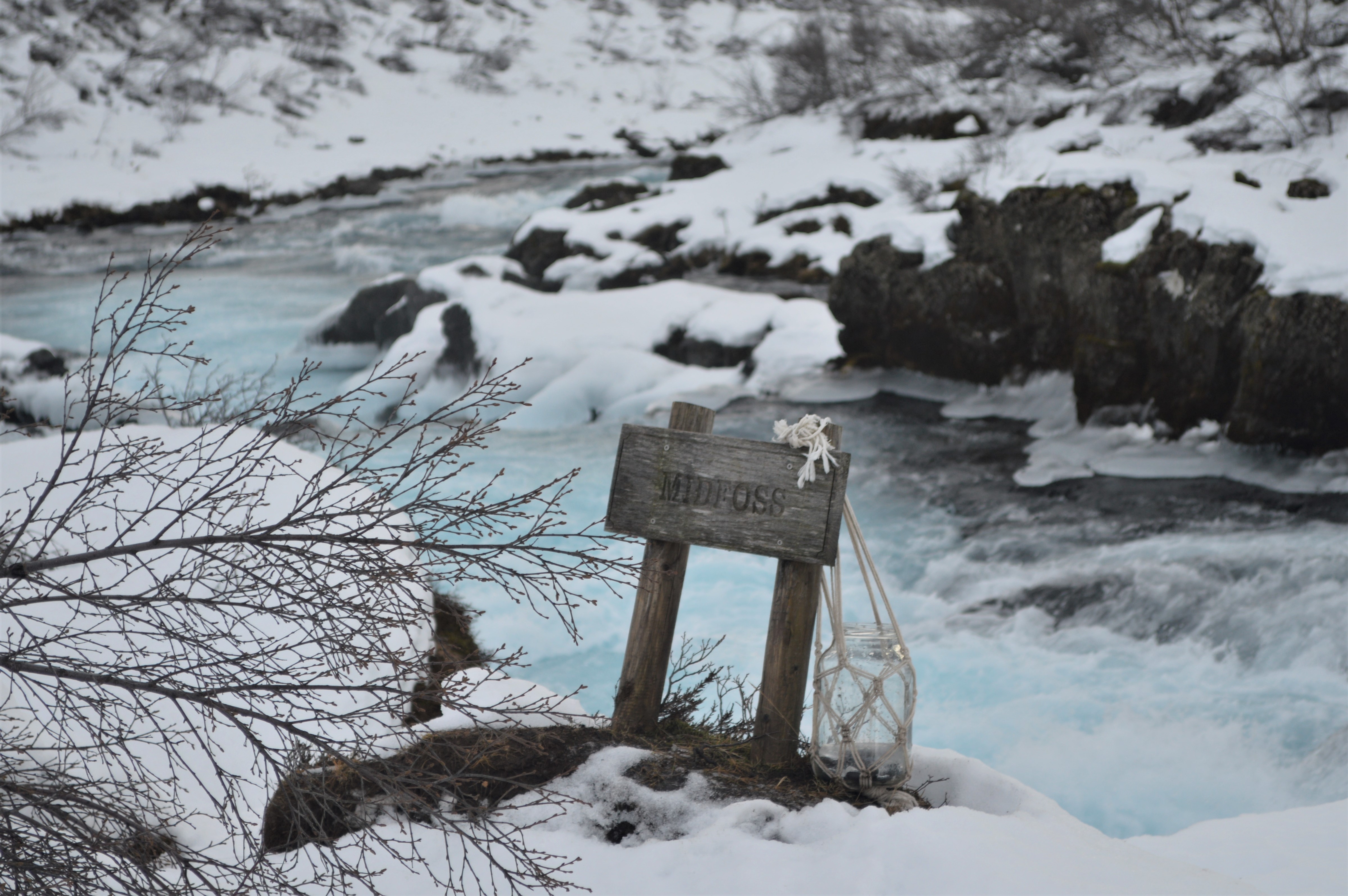
Eventually, after almost 2 miles of hiking, we saw a sign to Midfoss. We decided that we couldn’t make it all the way to Brúarfoss so we turned down to Midfoss and were not disappointed. The blue glacial water was really cool.
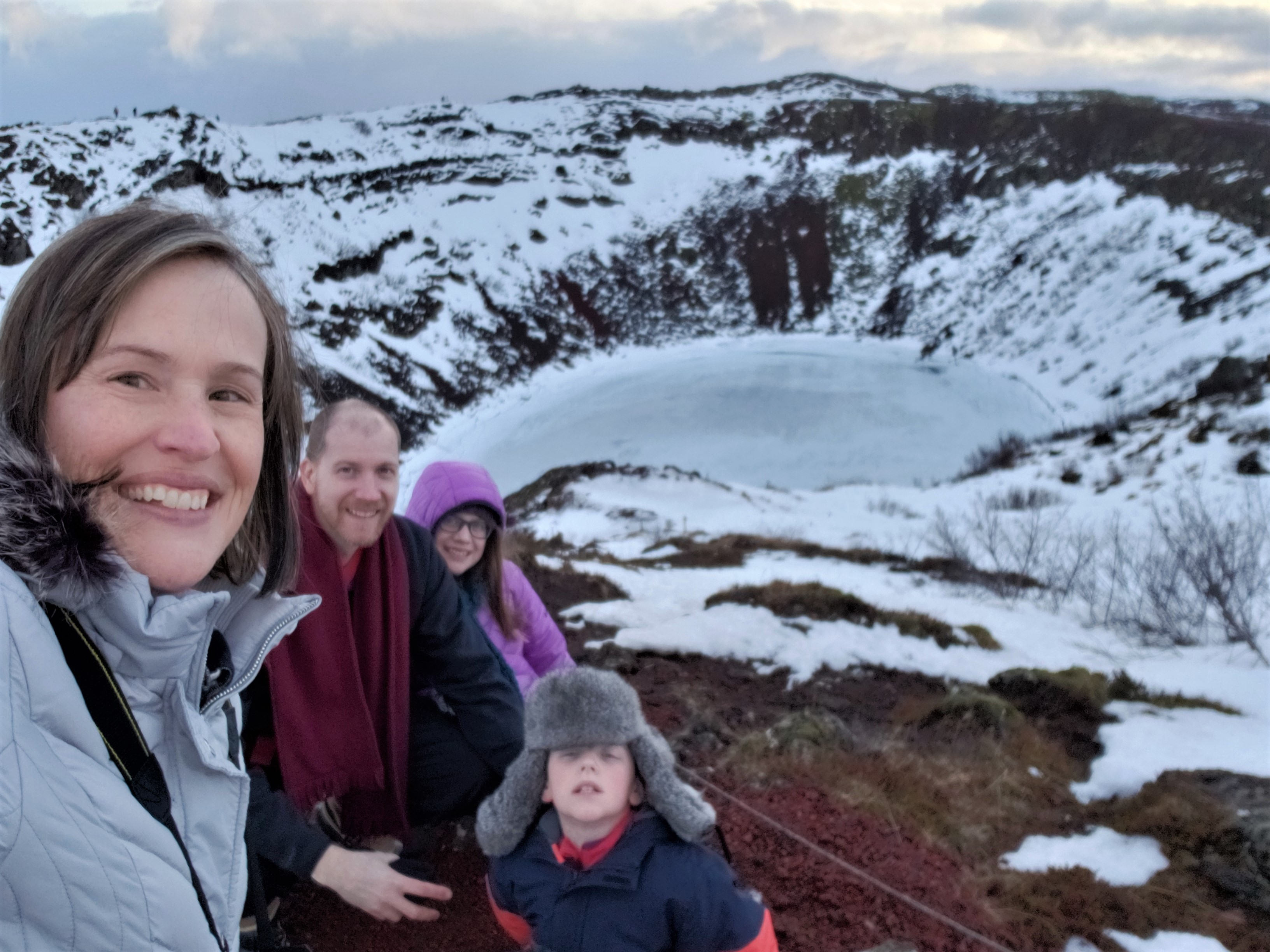
Trudging back through the snow to our car just about did us in, but we made it. After some lunch, we were revived enough to head to Kerið volcanic crater lake in the Western Volcanic Zone.

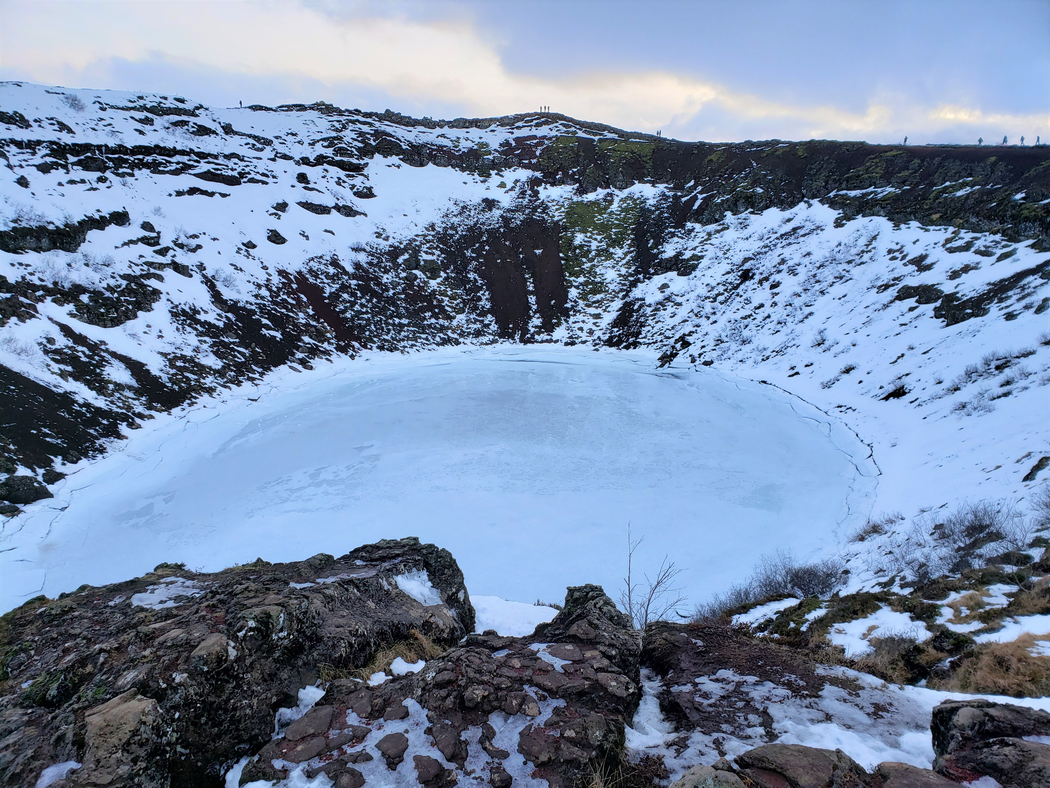
The crater is known for the vibrant colors of its caldera: red rock, green moss, and blue water. This panorama shows the colors the best (although the frozen water doesn’t show the blue).

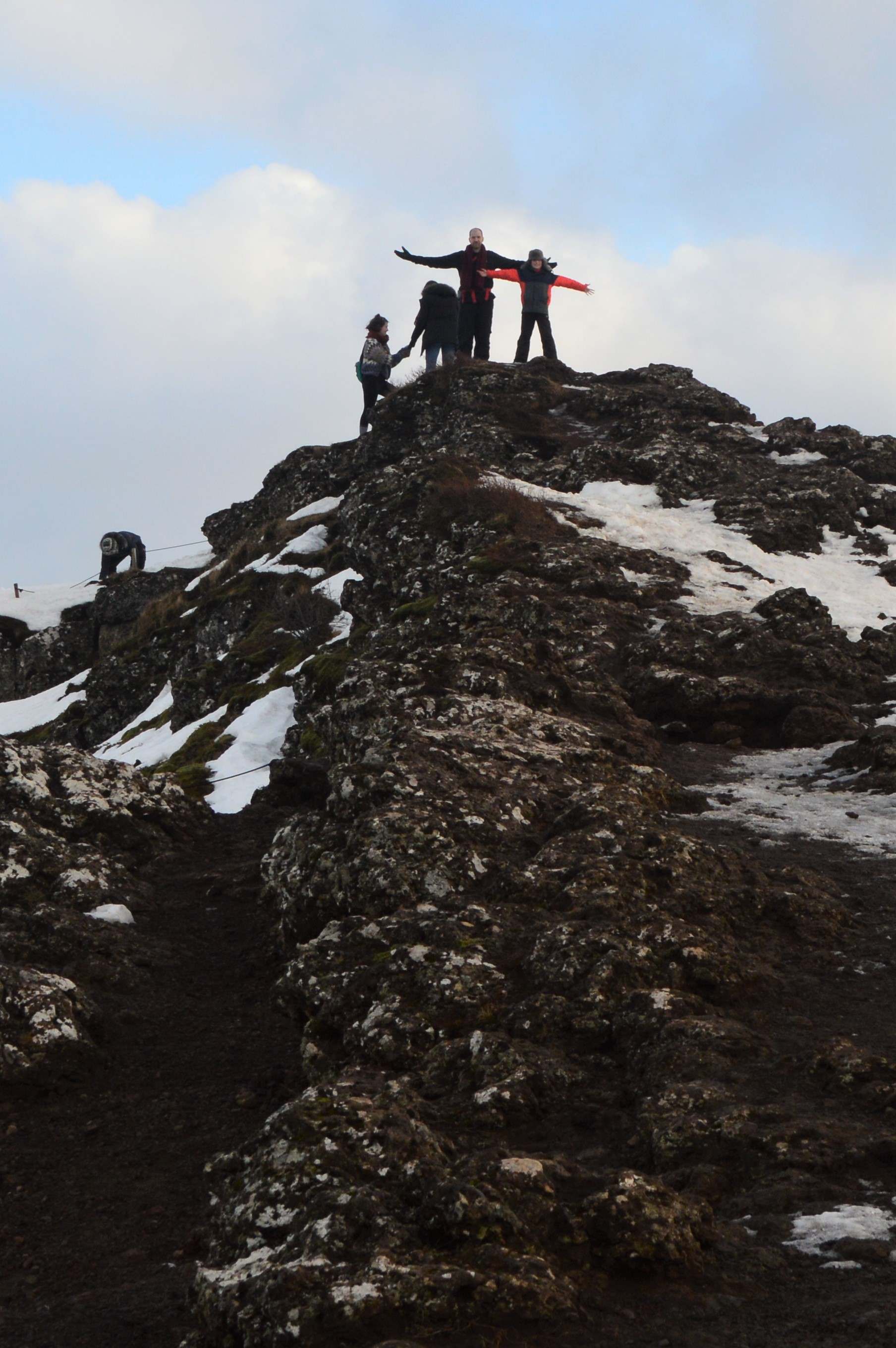
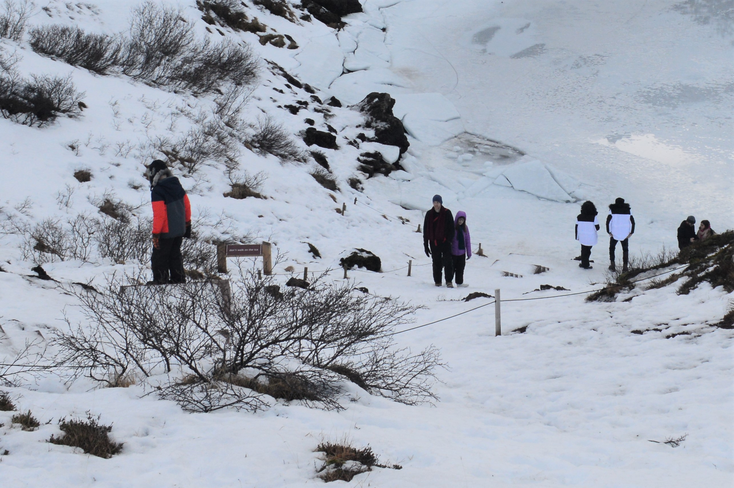
Despite already hiking 4 miles, we still found the energy to hike all the way around the caldera.
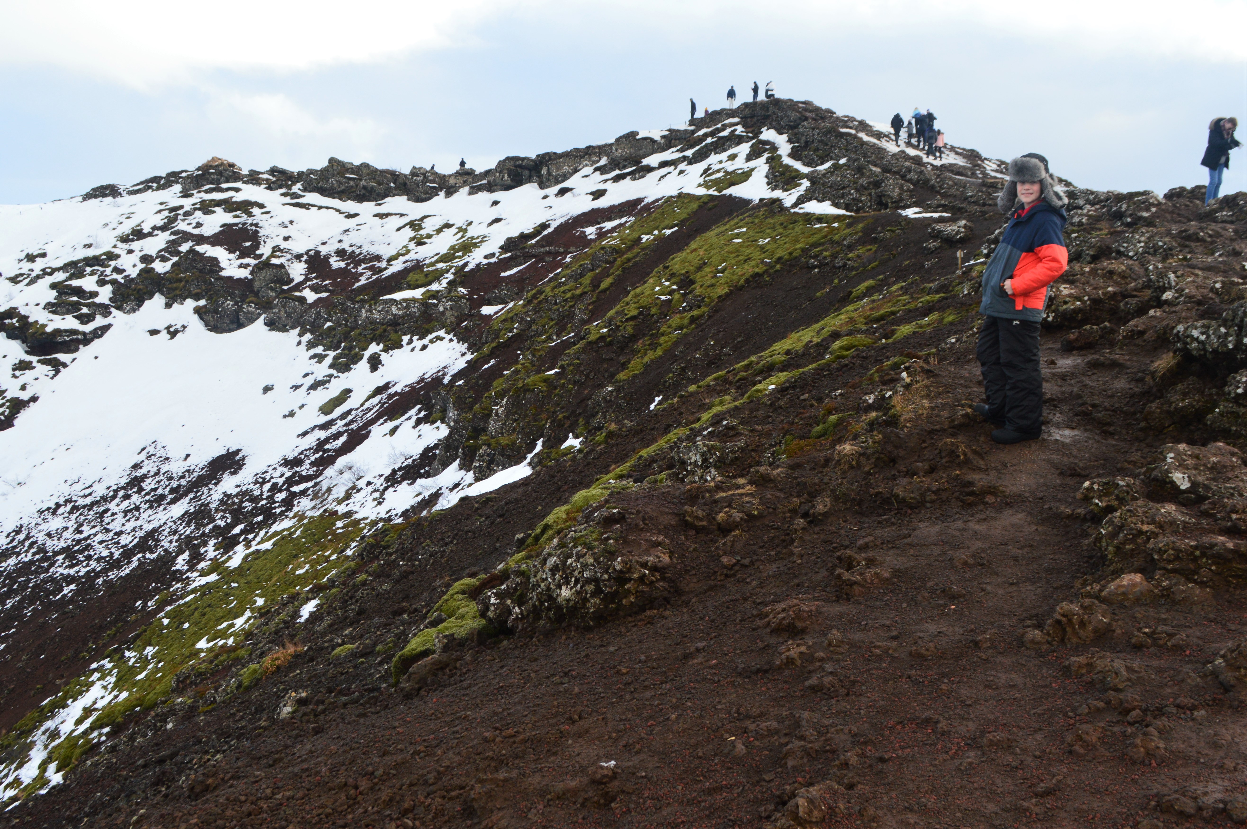
Daddy and Carter at the top of the ridge.
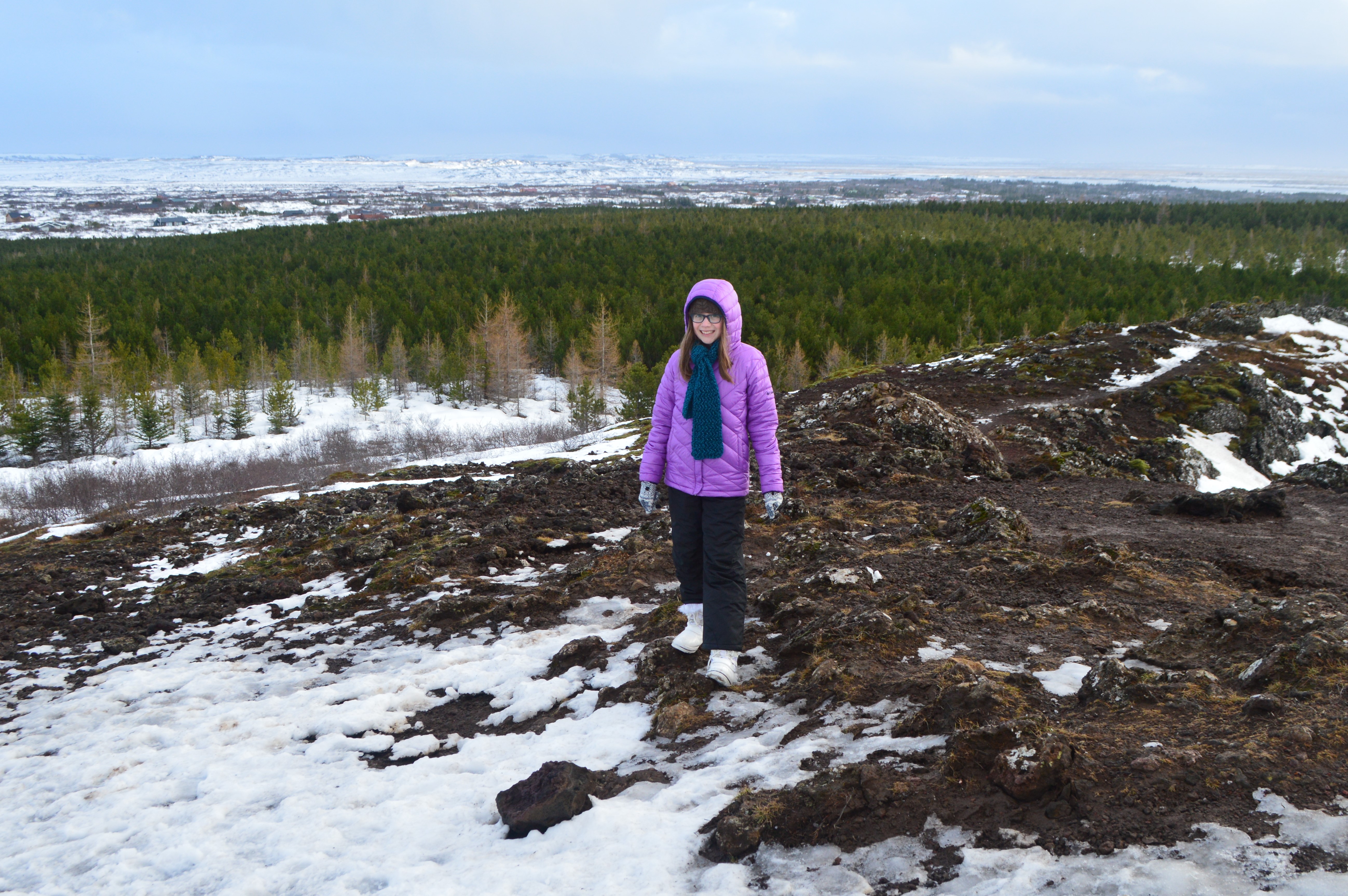
There aren’t many trees in Iceland but there was a large tree farm next to the crater.
Daddy and Raine (and eventually Carter) hiked down into the caldera.
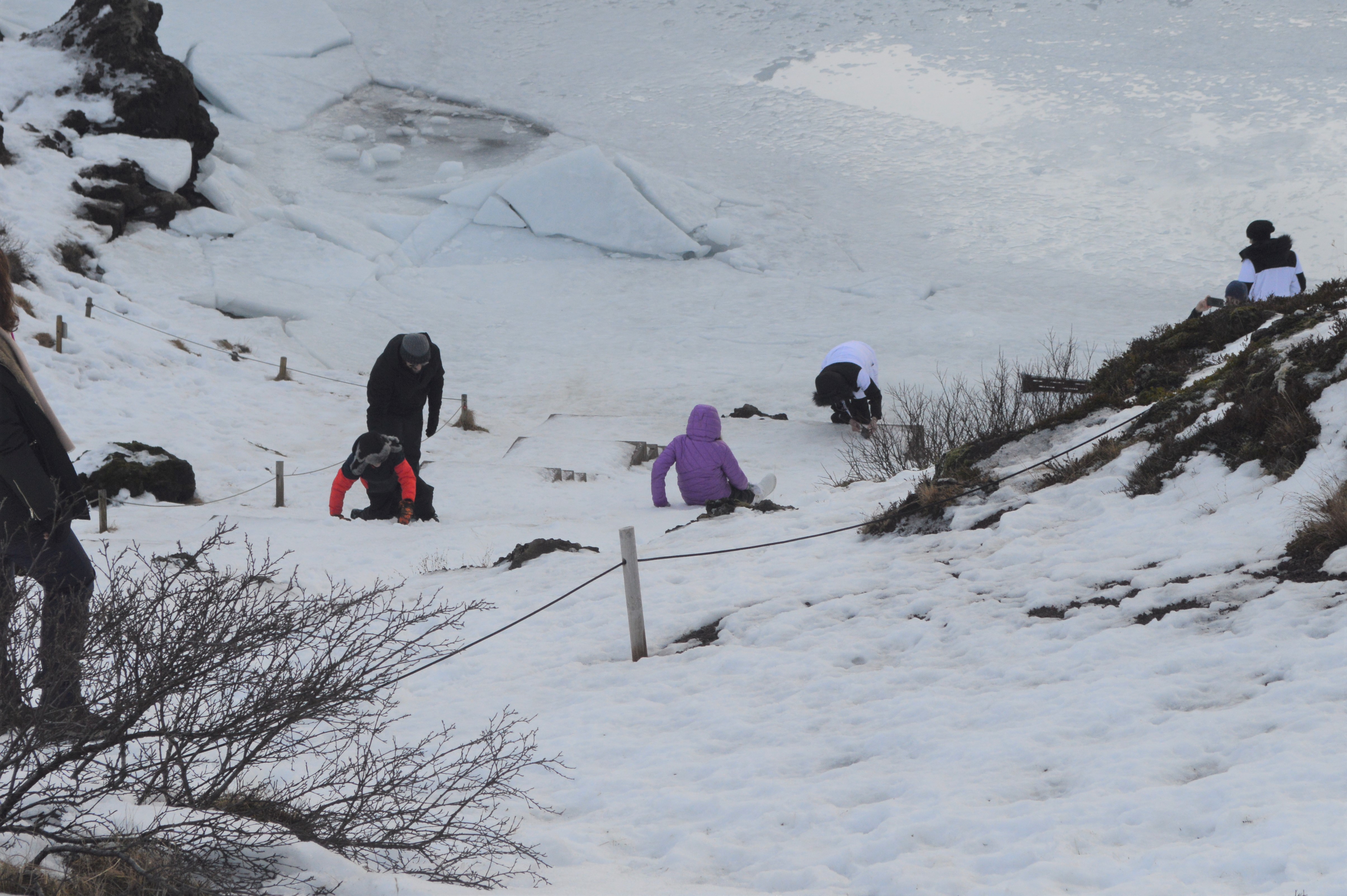
The stairs were completely iced over so it was easier to slide in some places.
After leaving the crater, we continued south. I wish that I would have taken a photo of the landscape, there were huge boulders scattered all over the bottom of the U-shaped valley. It looked like giants had tossed them.
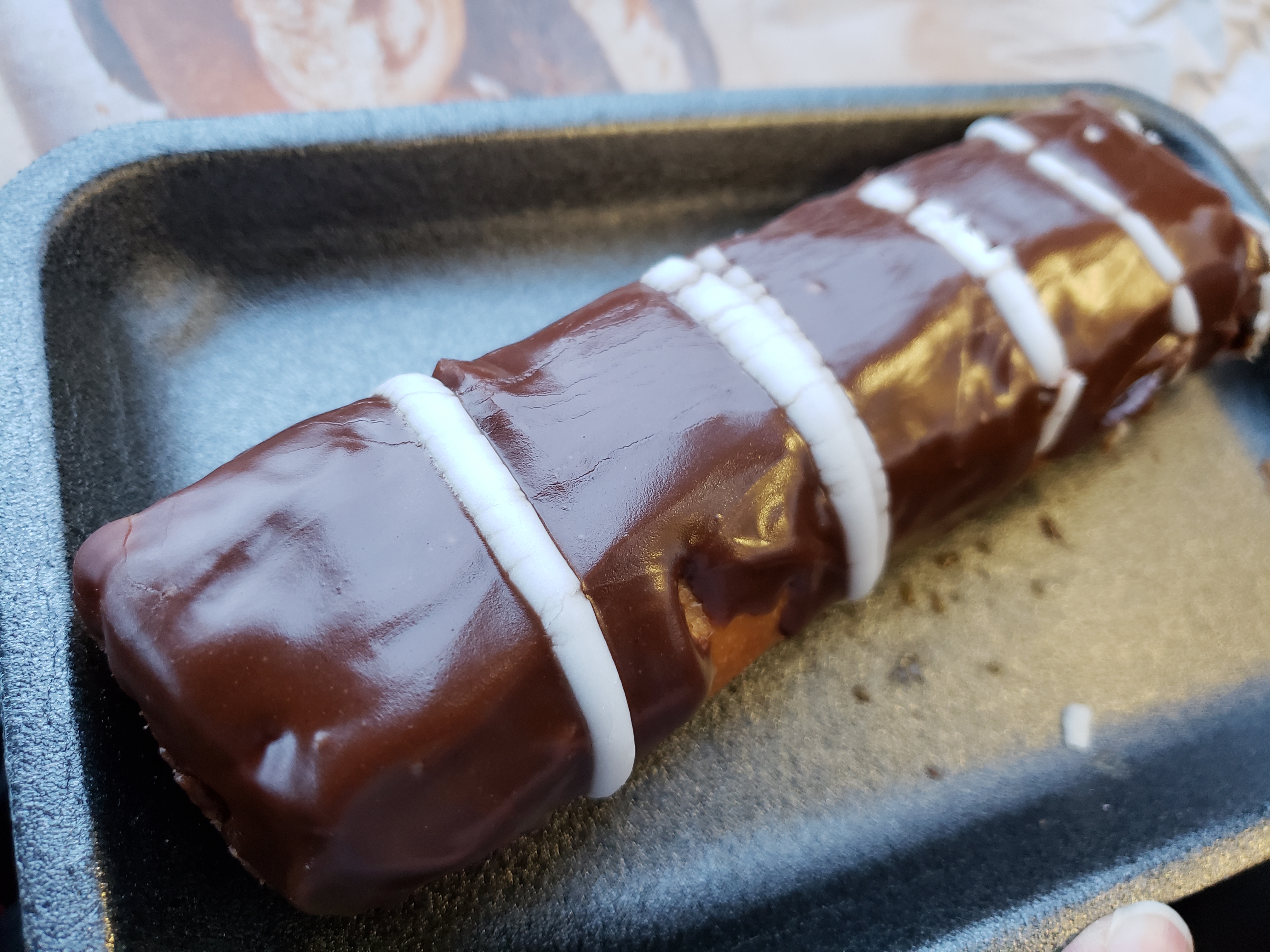
In Selfoss we found an open bakery!
We continued all the way down to the southern coast before heading home a different way so that we could see as much of Iceland as possible (even though the sun had set).

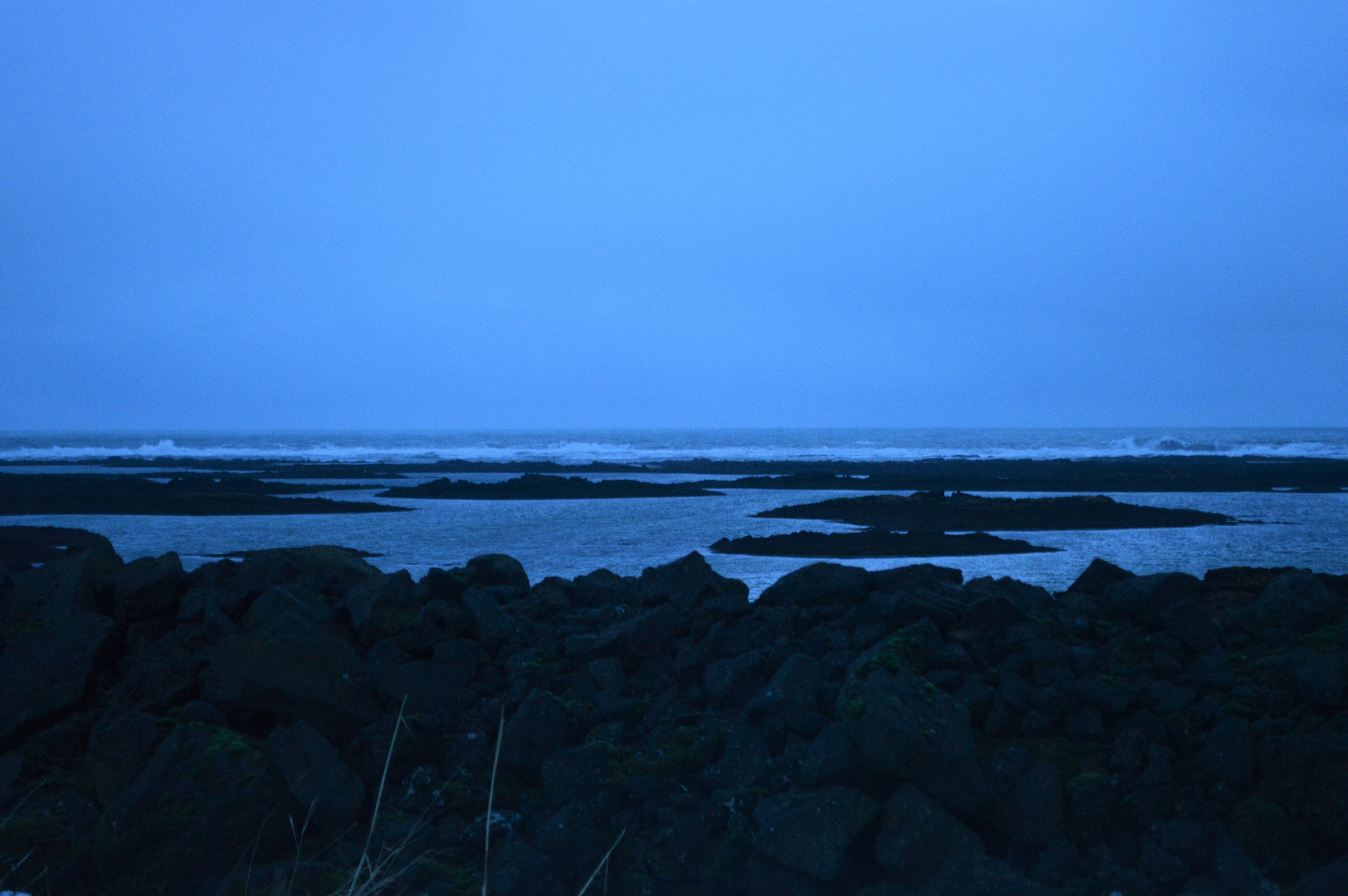
We walked along the sea wall for a minute. The ocean is fierce in Iceland, pounding the black volcanic rocks.
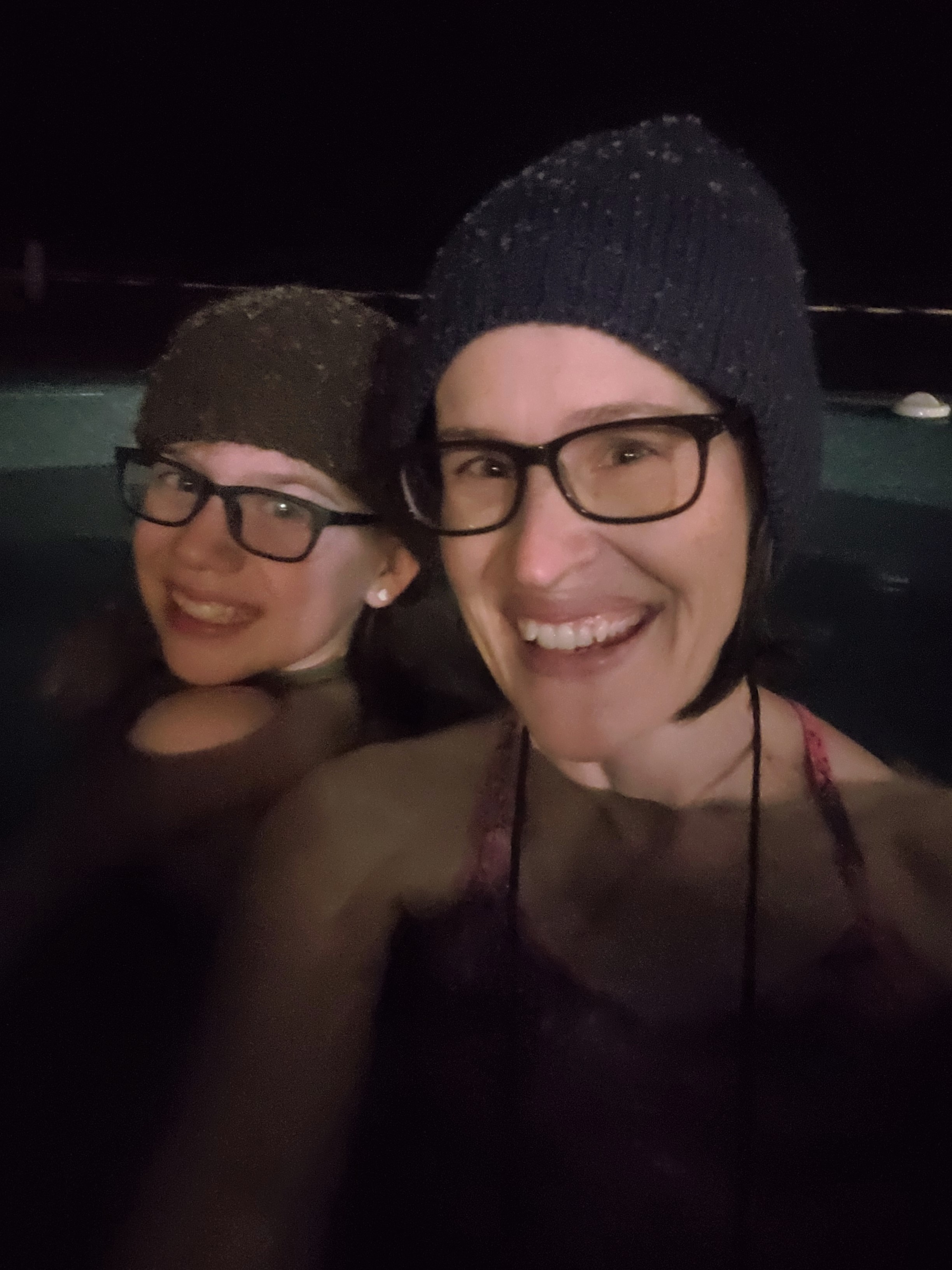
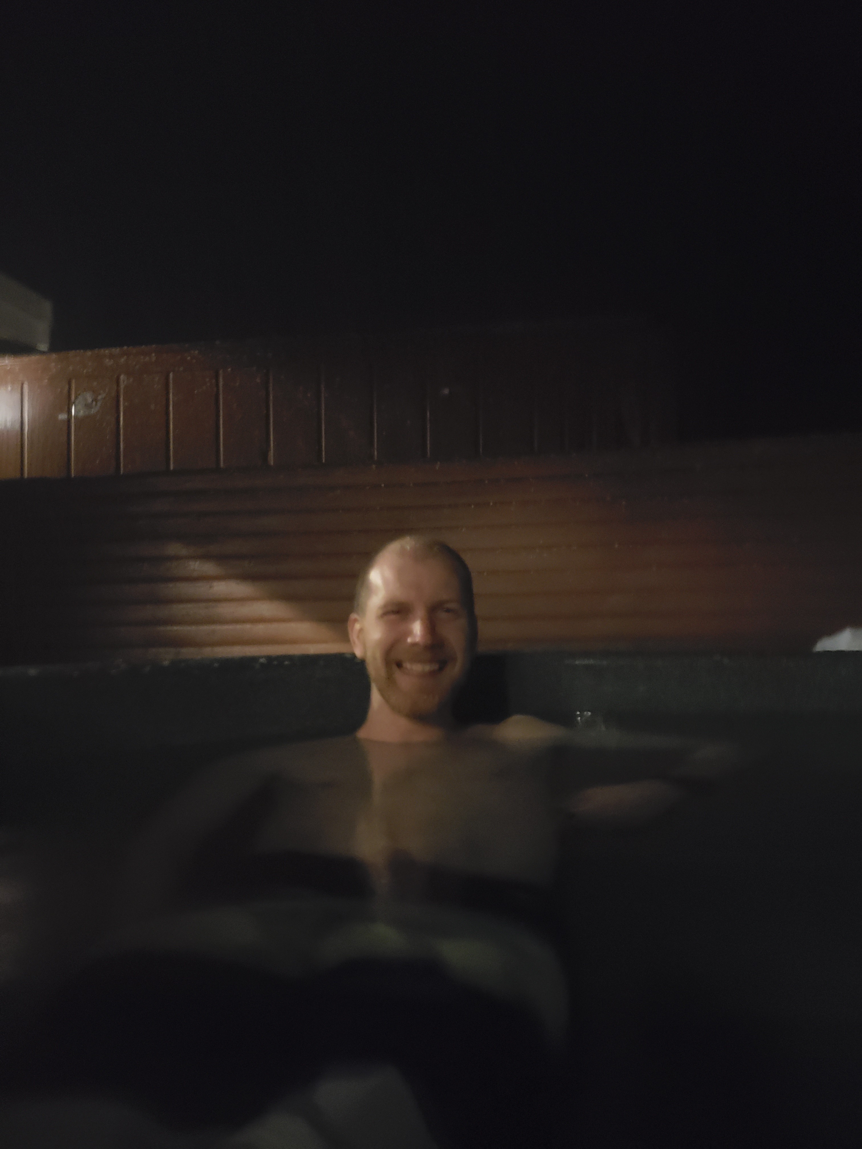
After dinner, we hit the geothermal hot tub.
Carter HATES hot water, so he wouldn’t get into the hot tub, but then it started sleeting on him. He was a miserable mess—too hot to get in and too cold to stay out! Daddy helped him back to the dressing rooms where he could change out of his suit and put on his warm clothes.

Eventually Daddy was able to join us again.
Total miles hiked today 6.4!
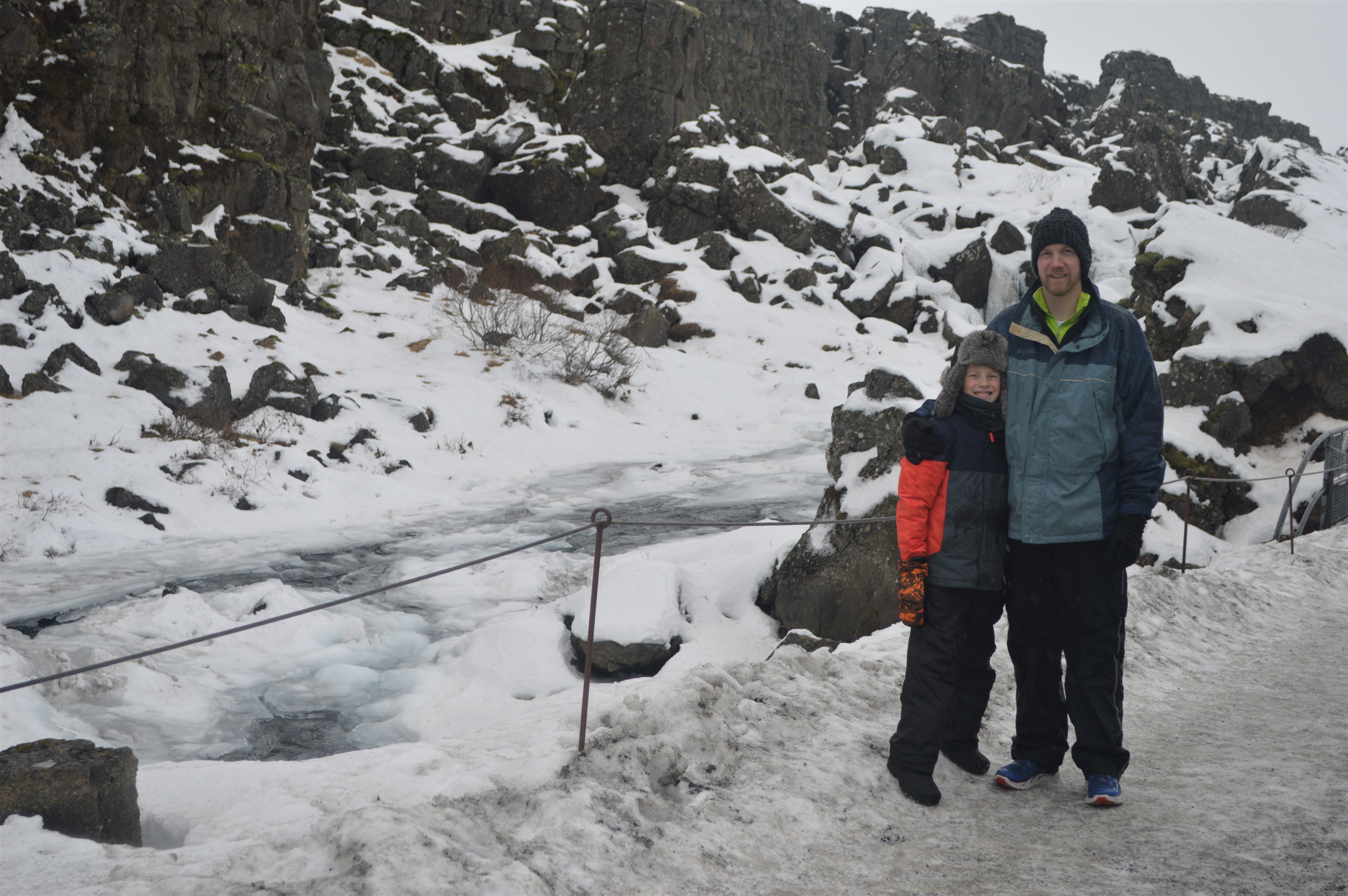
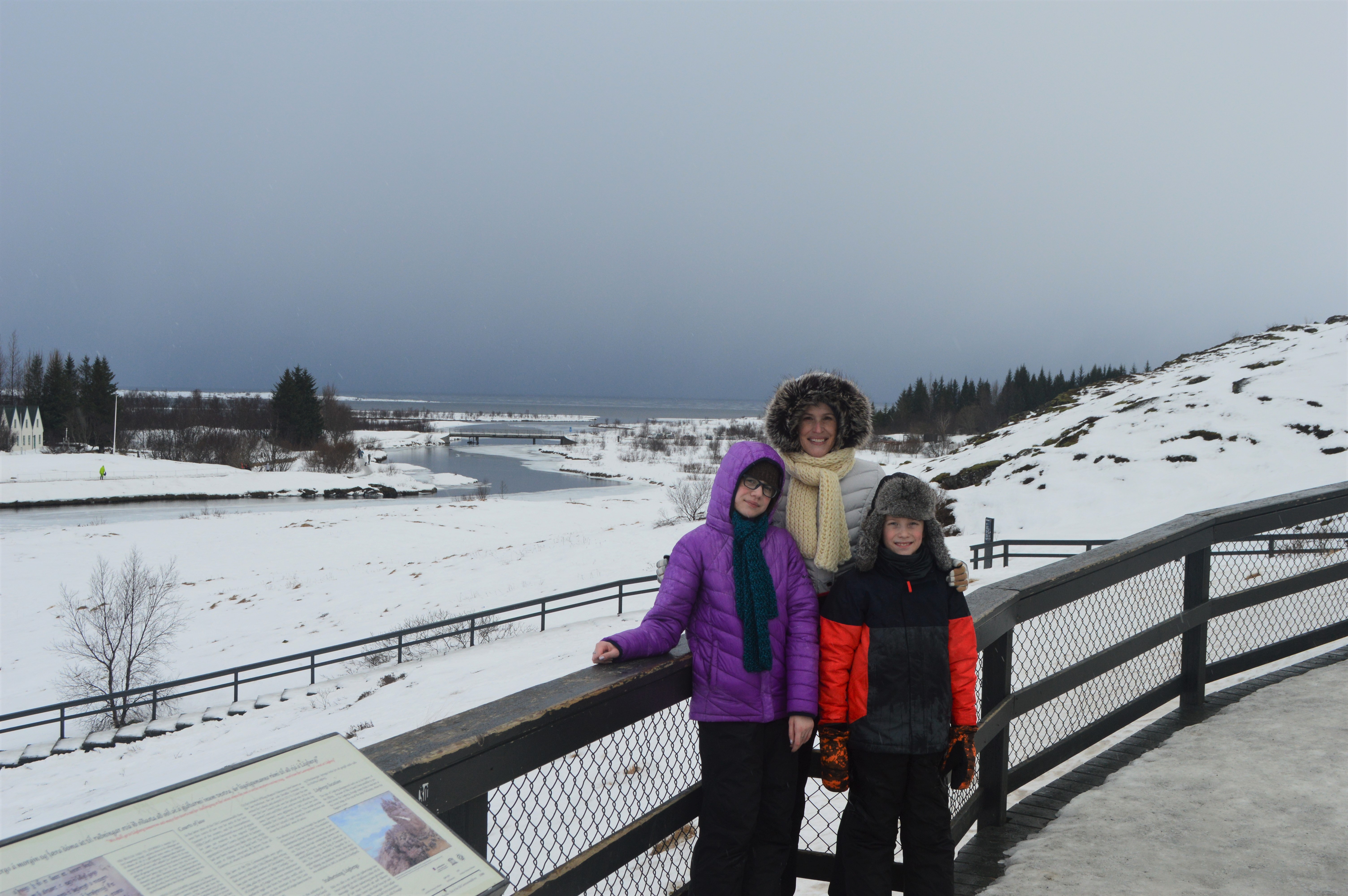
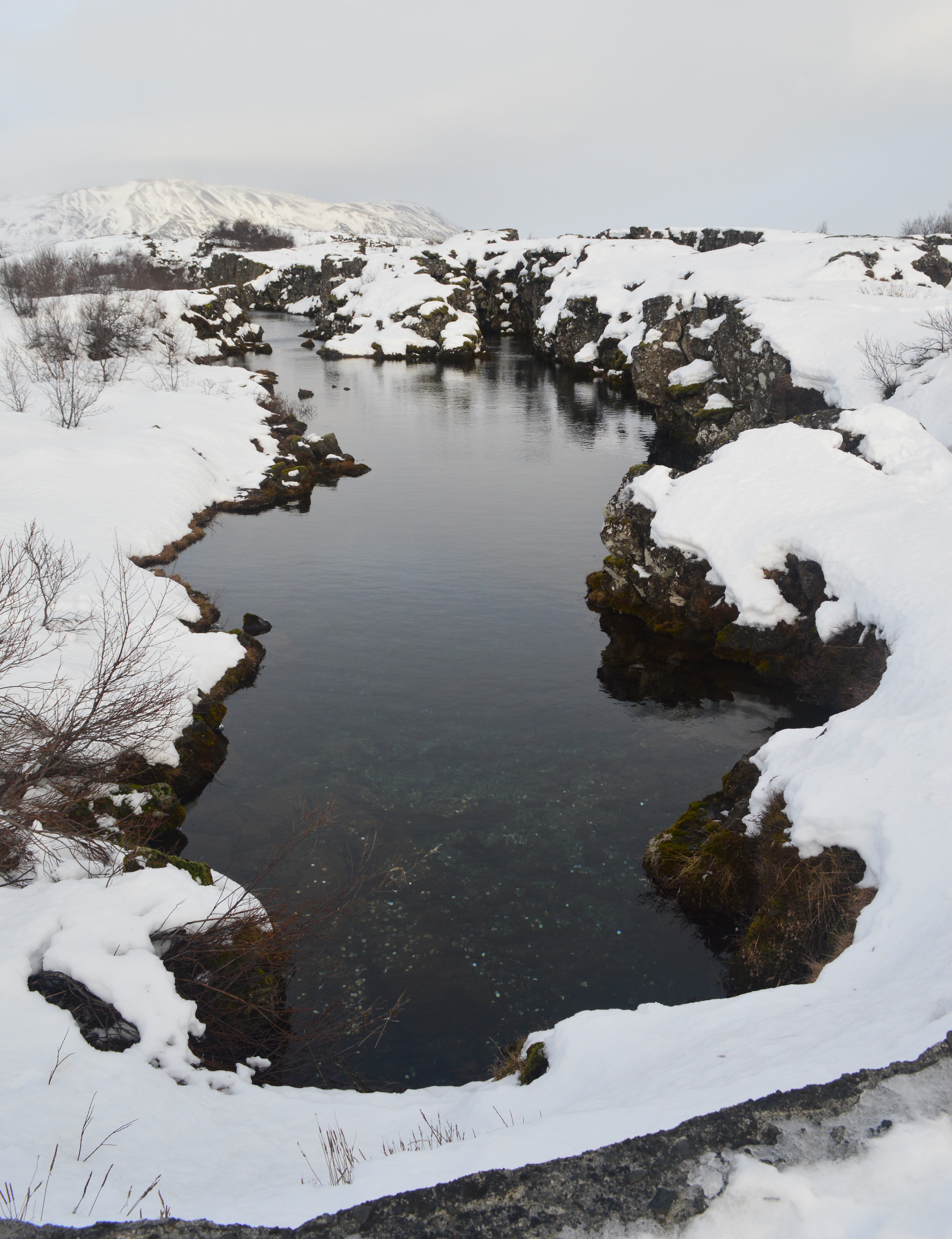
After driving to or through Þingvellir National Park on two other occasions, we finally spent the day exploring it on Monday, February 11. Þingvellir is a UNESCO World Heritage site for its history and natural features. The area encompasses the rift zone between the Eurasian and North-American tectonic plates. The plates are pulling apart, causing stress to accumulate over long periods until it is eventually released in an earthquake and the land between the plates subsides. The area is covered with 10,000-year-old lava that originated in a crater south of mount Hrafnabjörg.

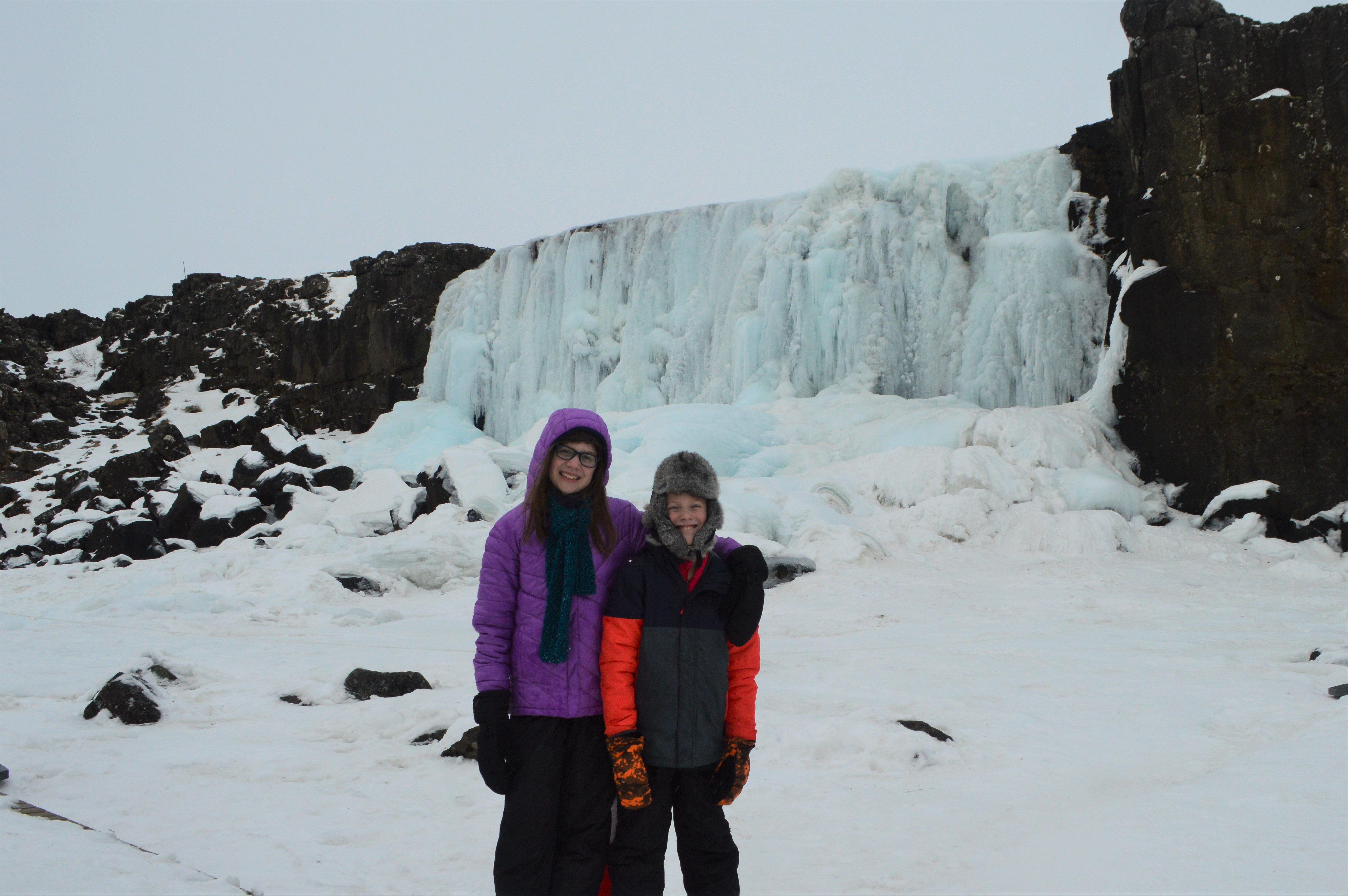
Öxarárfoss
We did a lot of hiking.
Lögberg (Law Rock). During the Icelandic Commonwealth (930 to 1262), Lögberg was the hub of the Alþing meetings. The Law Speaker was chosen by the Lögrétta, the Legislative Assembly, and proclaimed the laws of the Commonwealth out loud from a special place there.
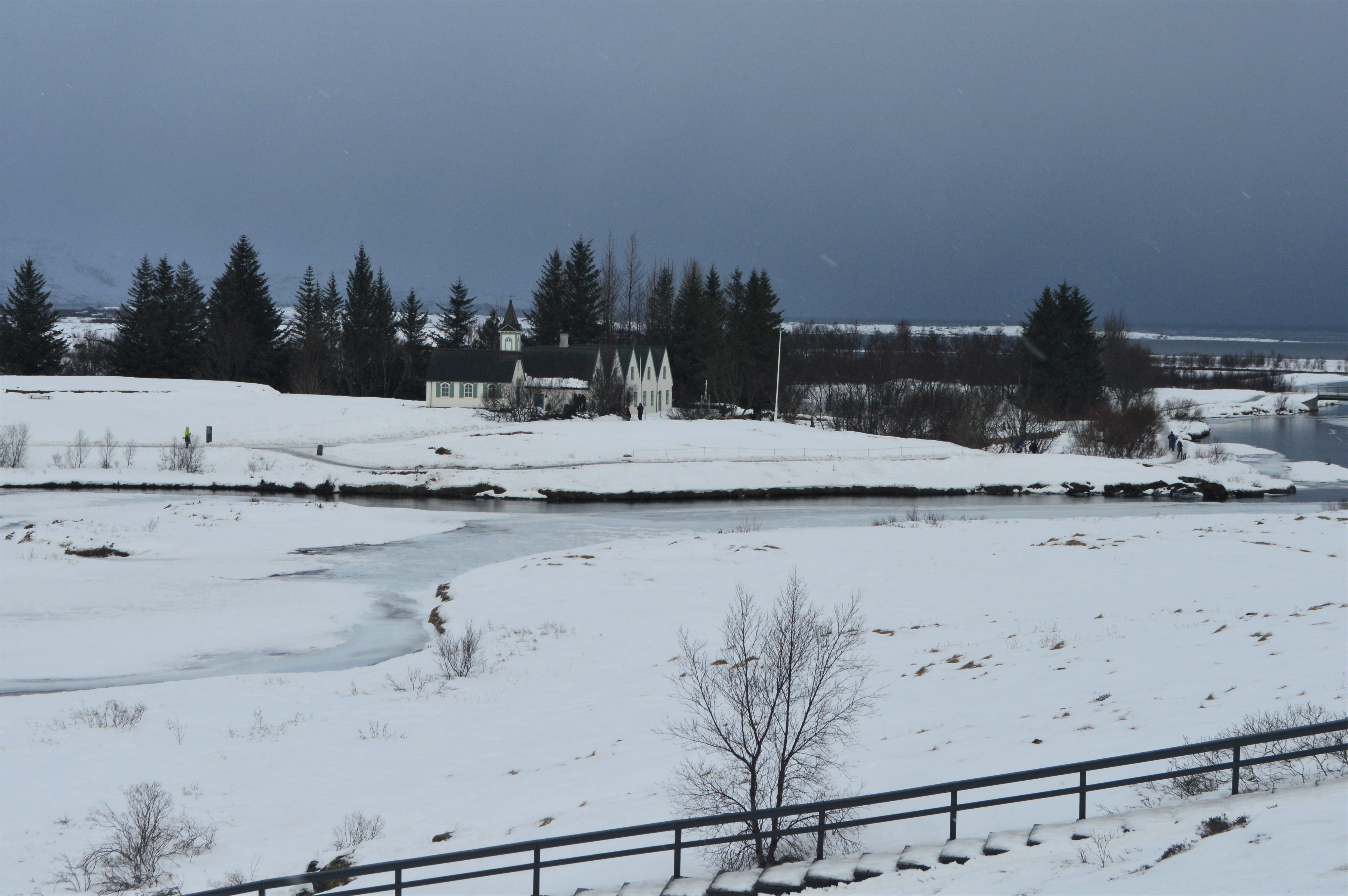
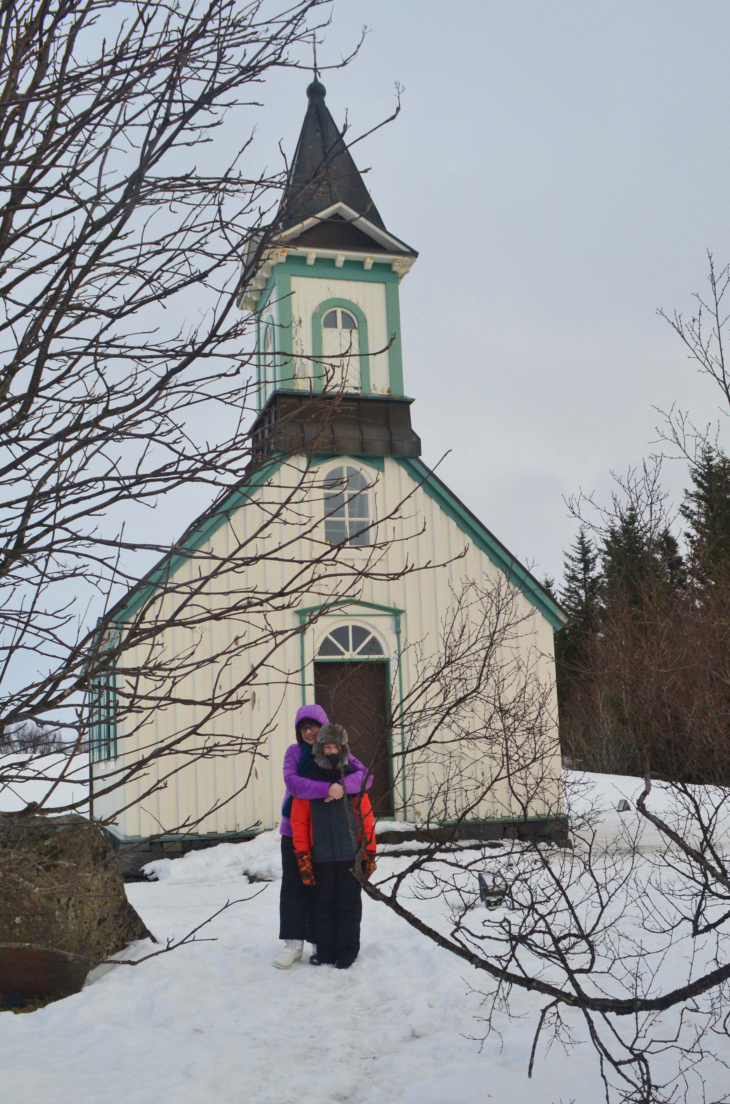
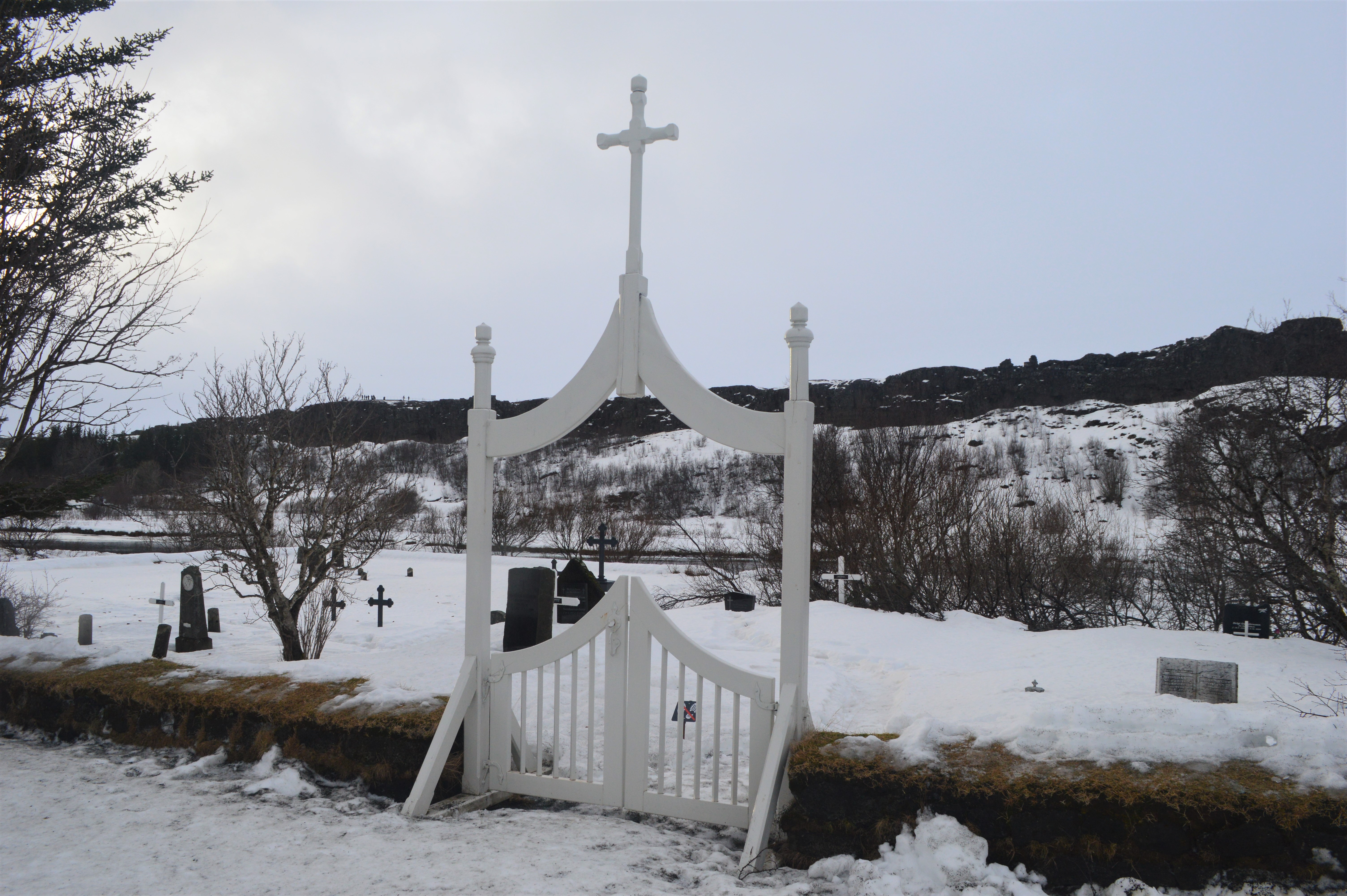
The rift valley with the Þingvellir church and farm and the frozen Lake Þingvallavatn in the distance. In 930 the Icelandic Parliament, Alþingi, was founded at Þingvellir – and remained there until 1798.
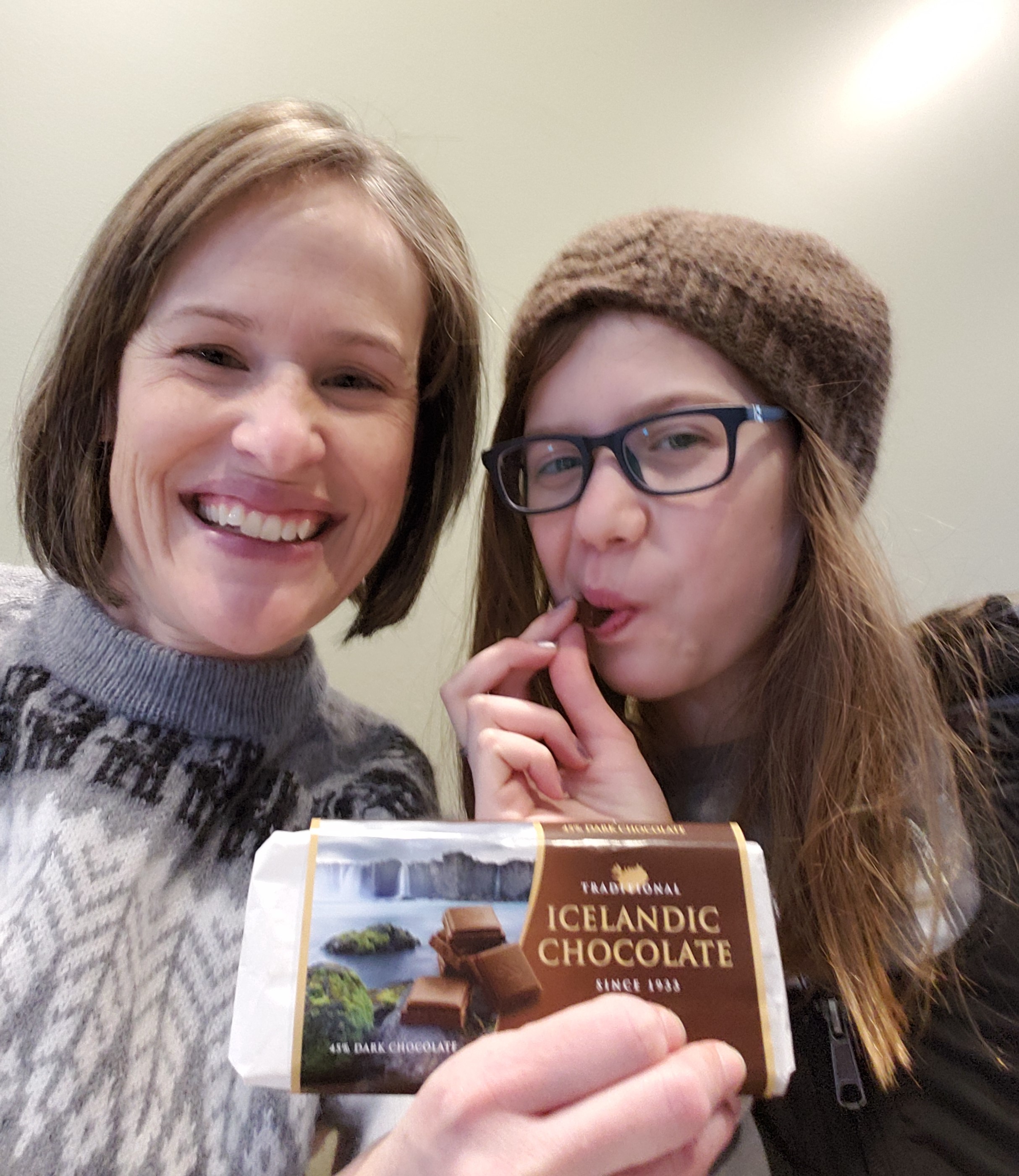
We hiked up the volcanic rock wall of the Almannagjá fault to the visitor center at Hakid where we ate lunch (including chocolate) and dried out.
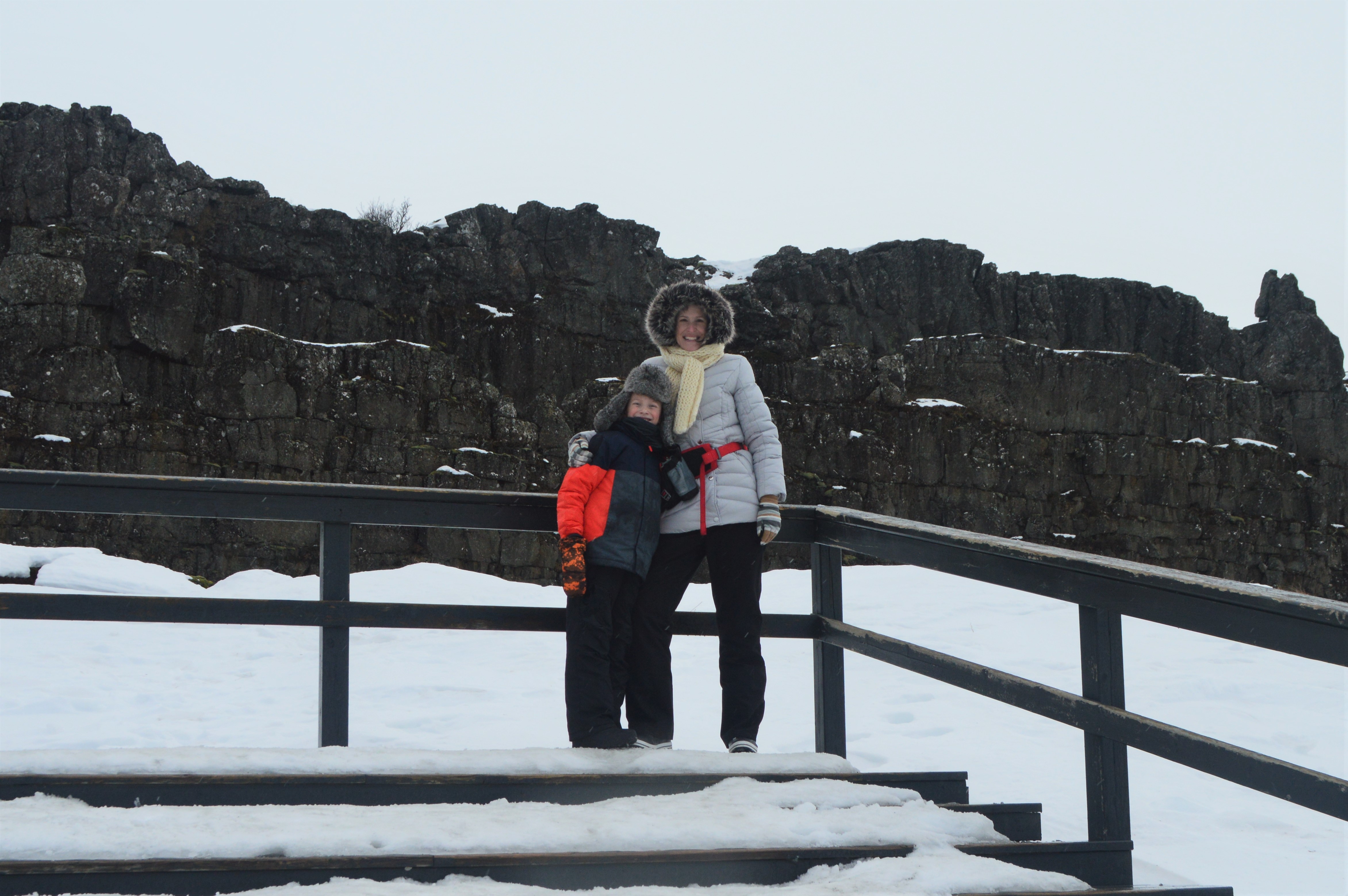
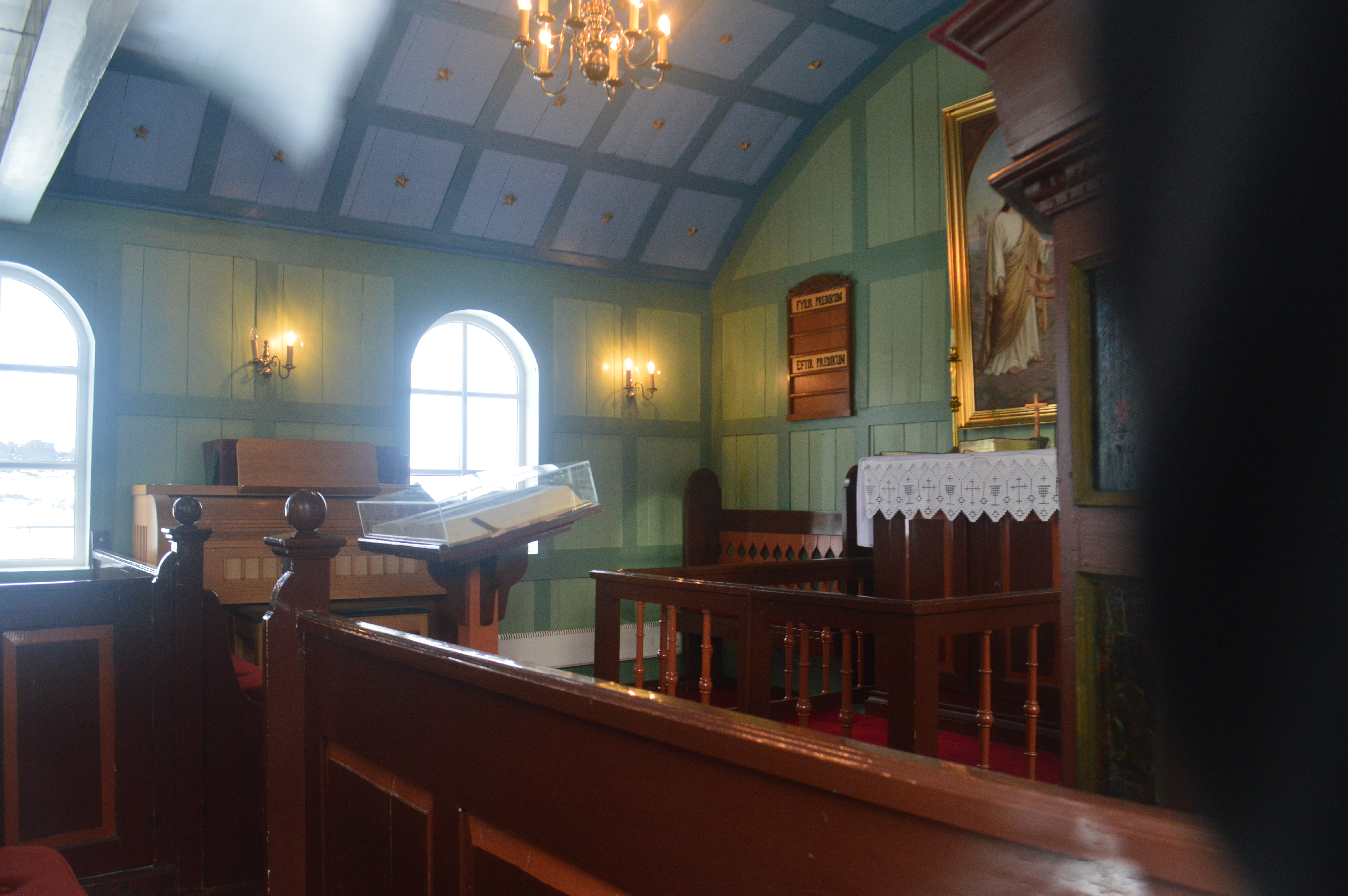
Then we hiked down into the valley to see the Þingvallakirkja.

Looking through a window.
The assembly buildings
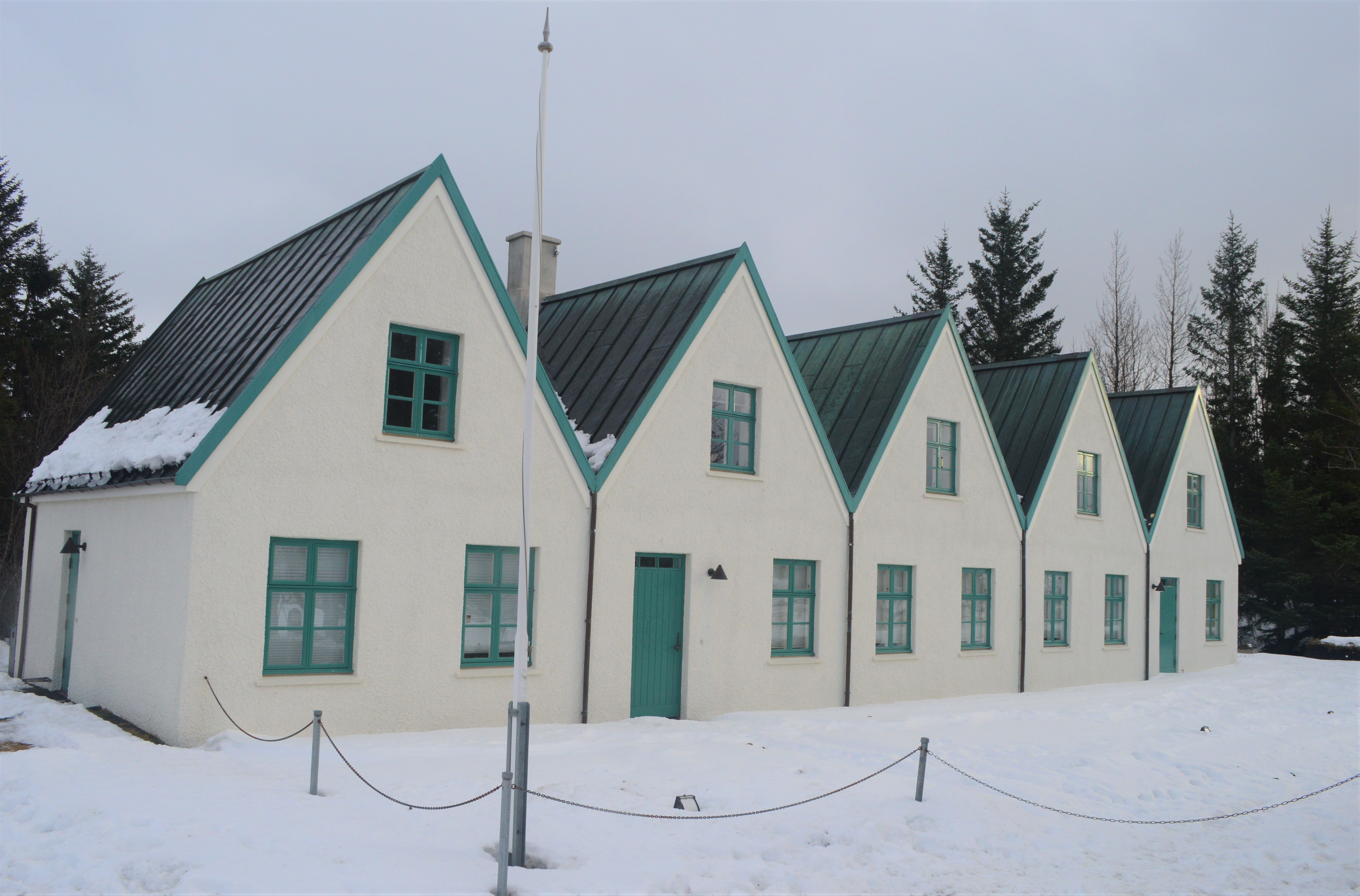
The church cemetery
On our hike back to the car, we passed several hot springs. They obviously has some sort of geothermal heat source because they didn’t have any ice on them despite everything else around them, including the huge lake, being frozen.
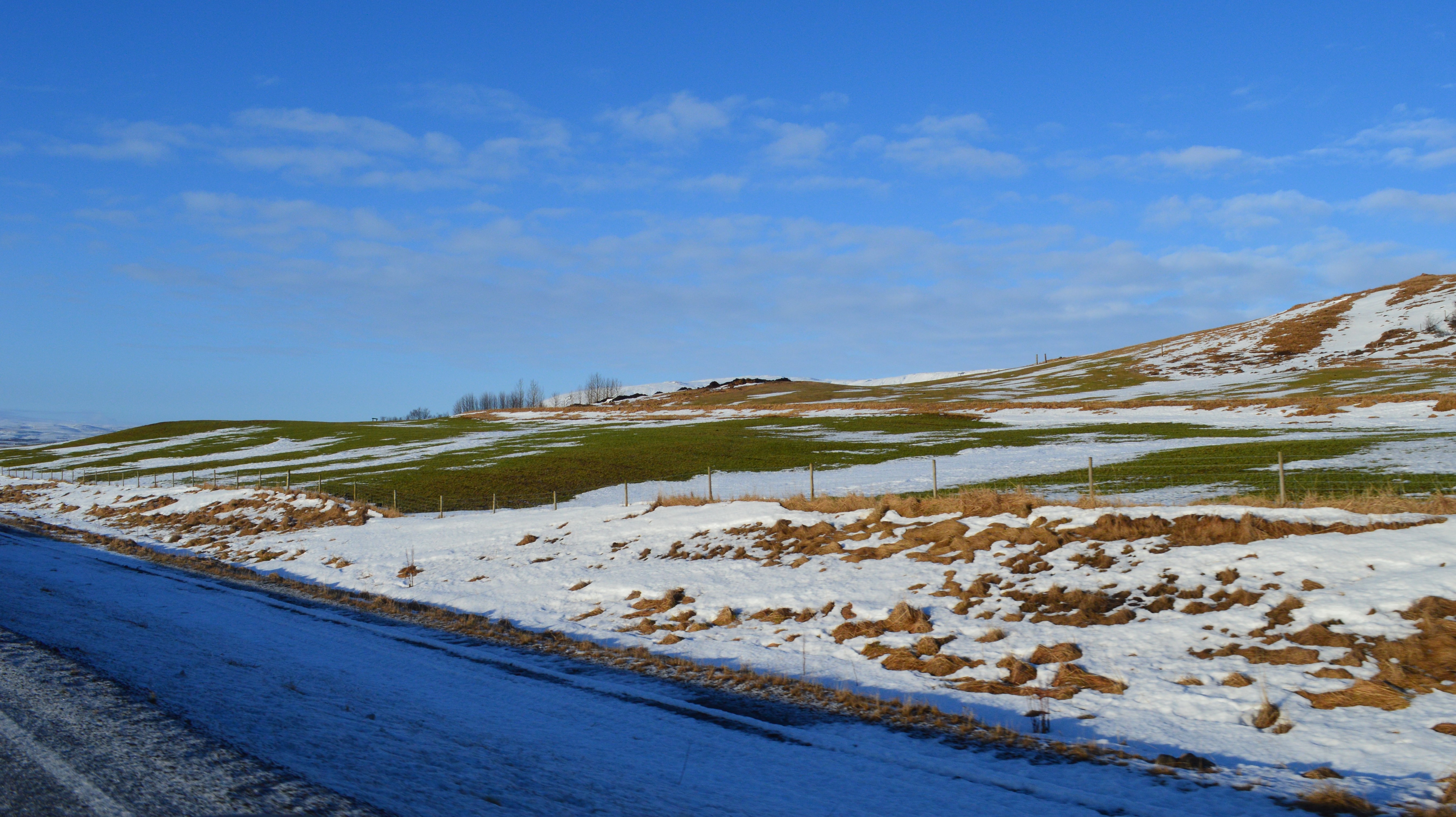
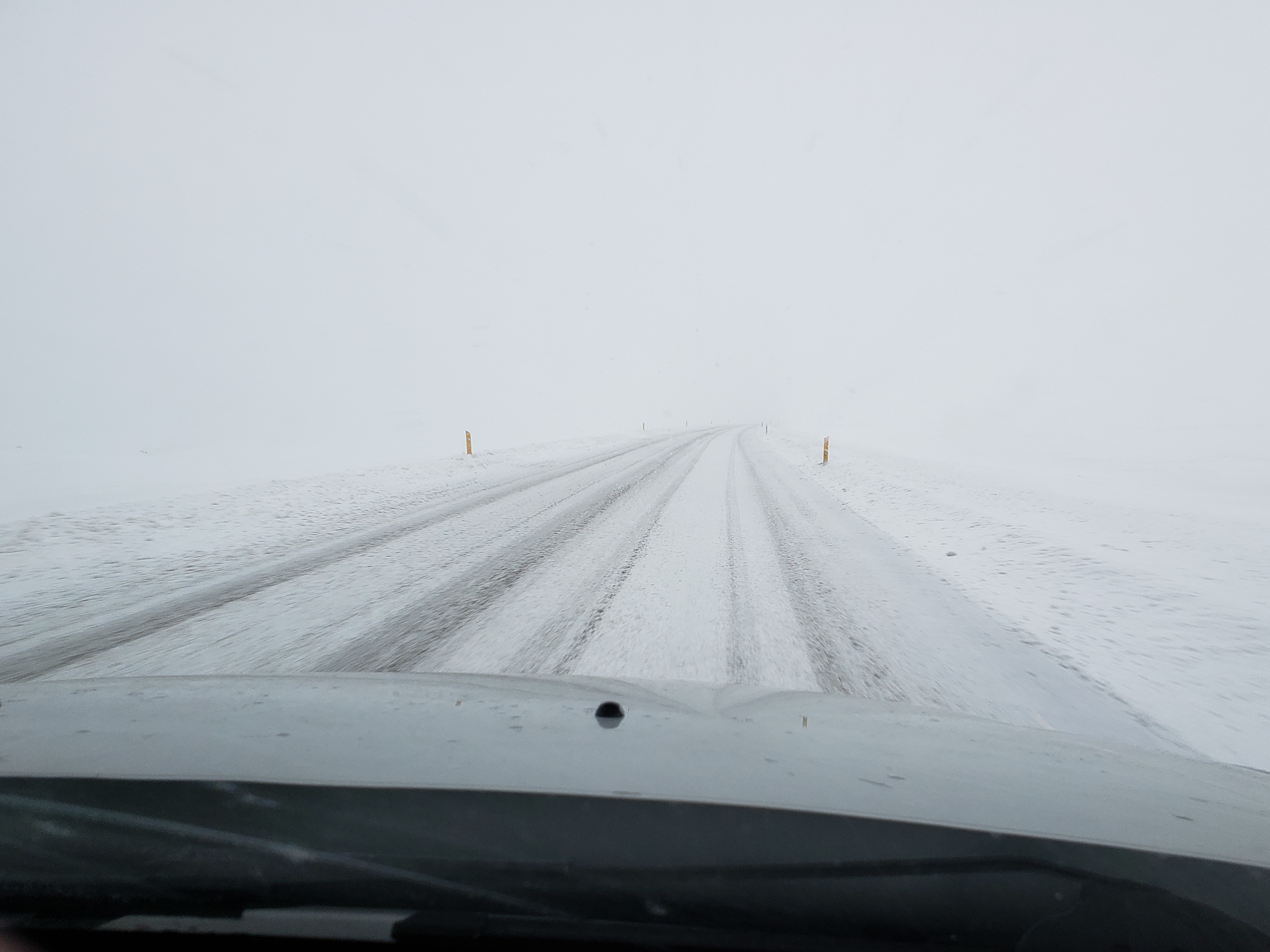
Our drive home was a bit snowy. We were glad to have studded tires on our car!
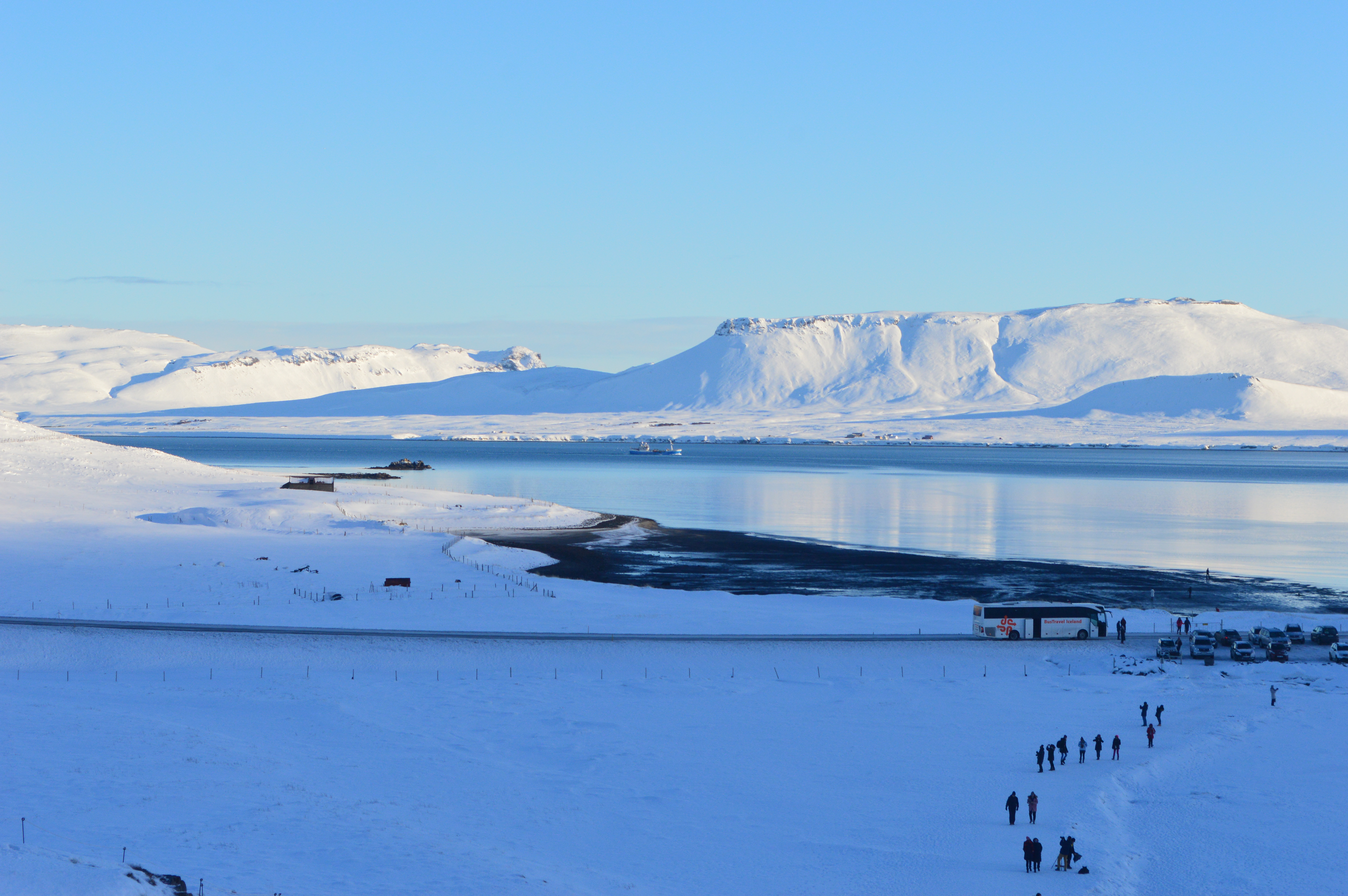
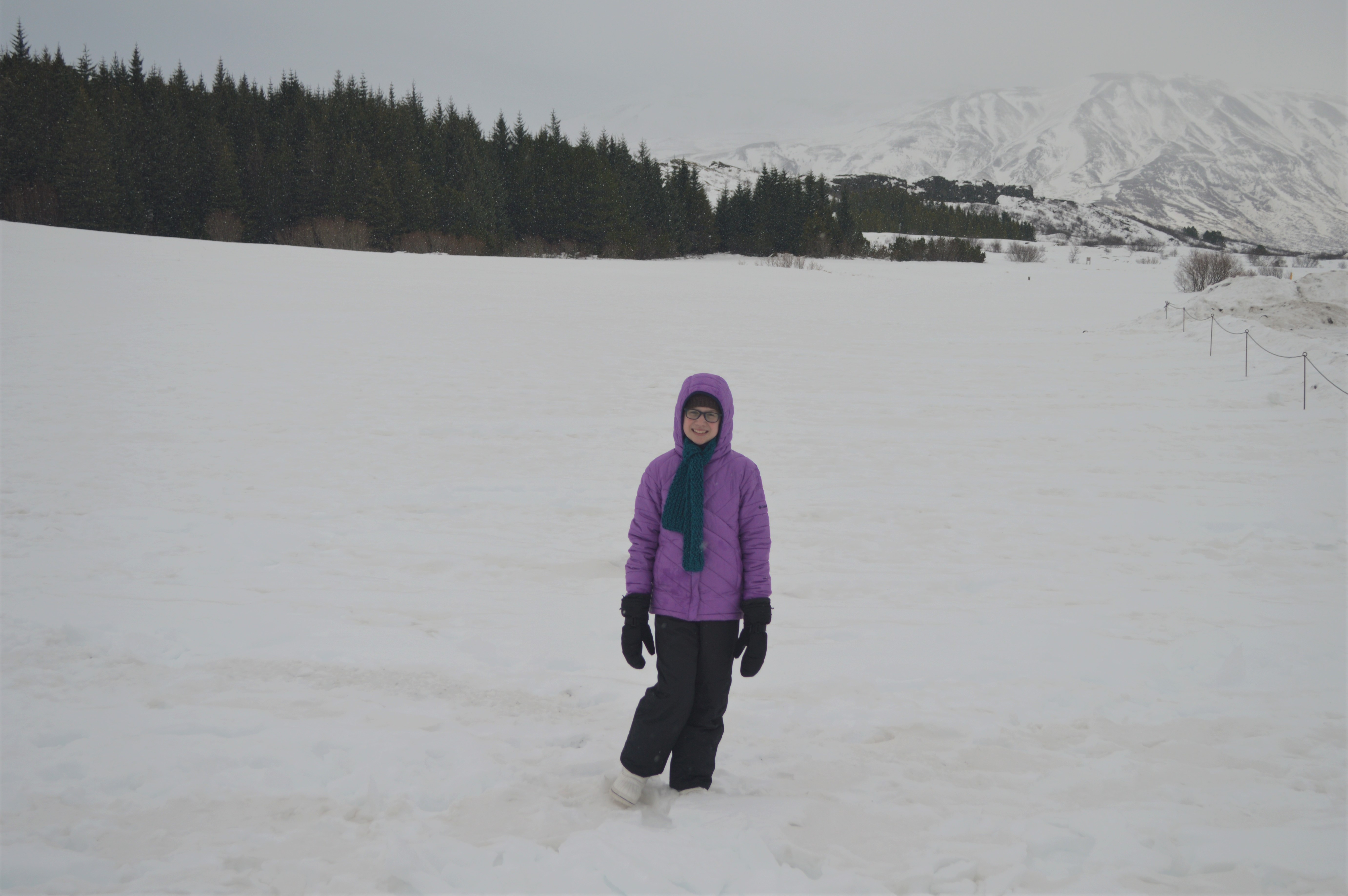
Sunday, February 10, we checked out of our apartment in the Butterfly house and drove out along the ring road, into the Golden Circle. The first part of our drive took us along the same road that we traveled to see the northern lights. We could see remnants of the snow drifts along the sides of the road.
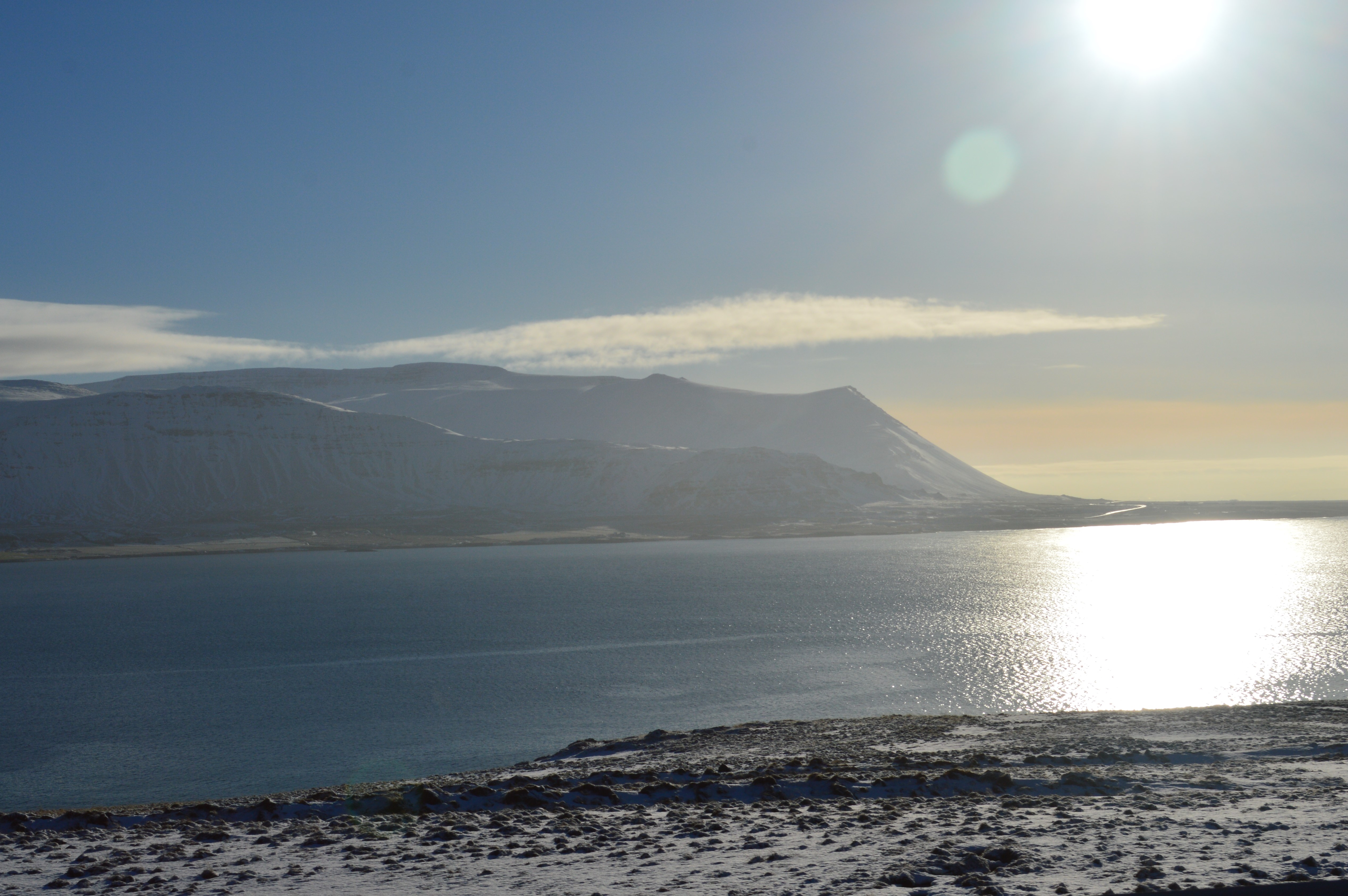
This time of year in Iceland the sun never really goes UP in the sky, it just arcs across the horizon, so it is always in your eyes while driving. This photo was taken a little before noon.
We stopped at a lookout in Þingvellir to stretch our legs.
Panoramic of Þingvellir.
The Icelandic horses that dotted the countryside looked so furry and cute. We wanted to stop and pet them, but never found the right opportunity.

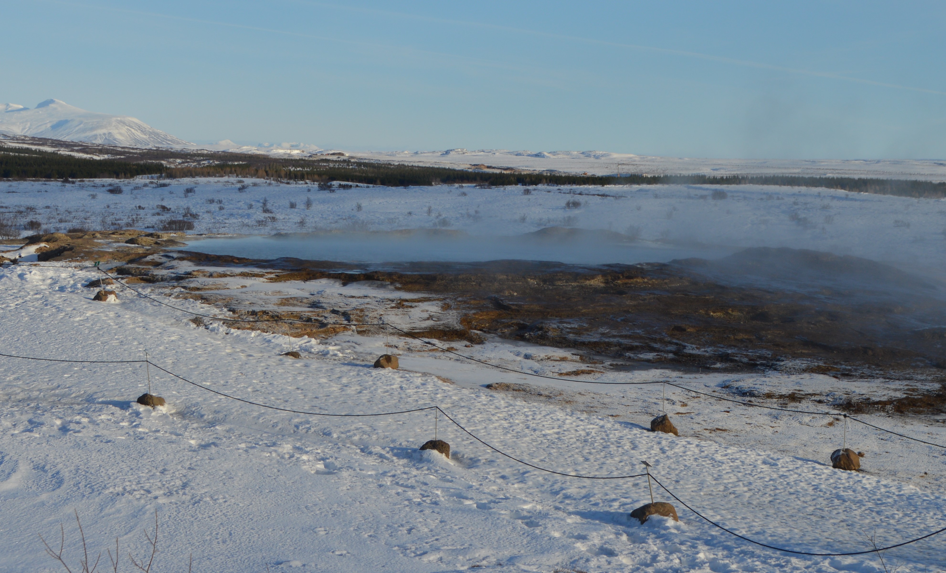
Eventually, we made it to the Haukadalur geothermal area. This geothermal field is on a 100-meter-wide strip of land that runs in the same direction as the tectonic lines in the area, from south to southwest. There are more than a dozen hot water blow holes.
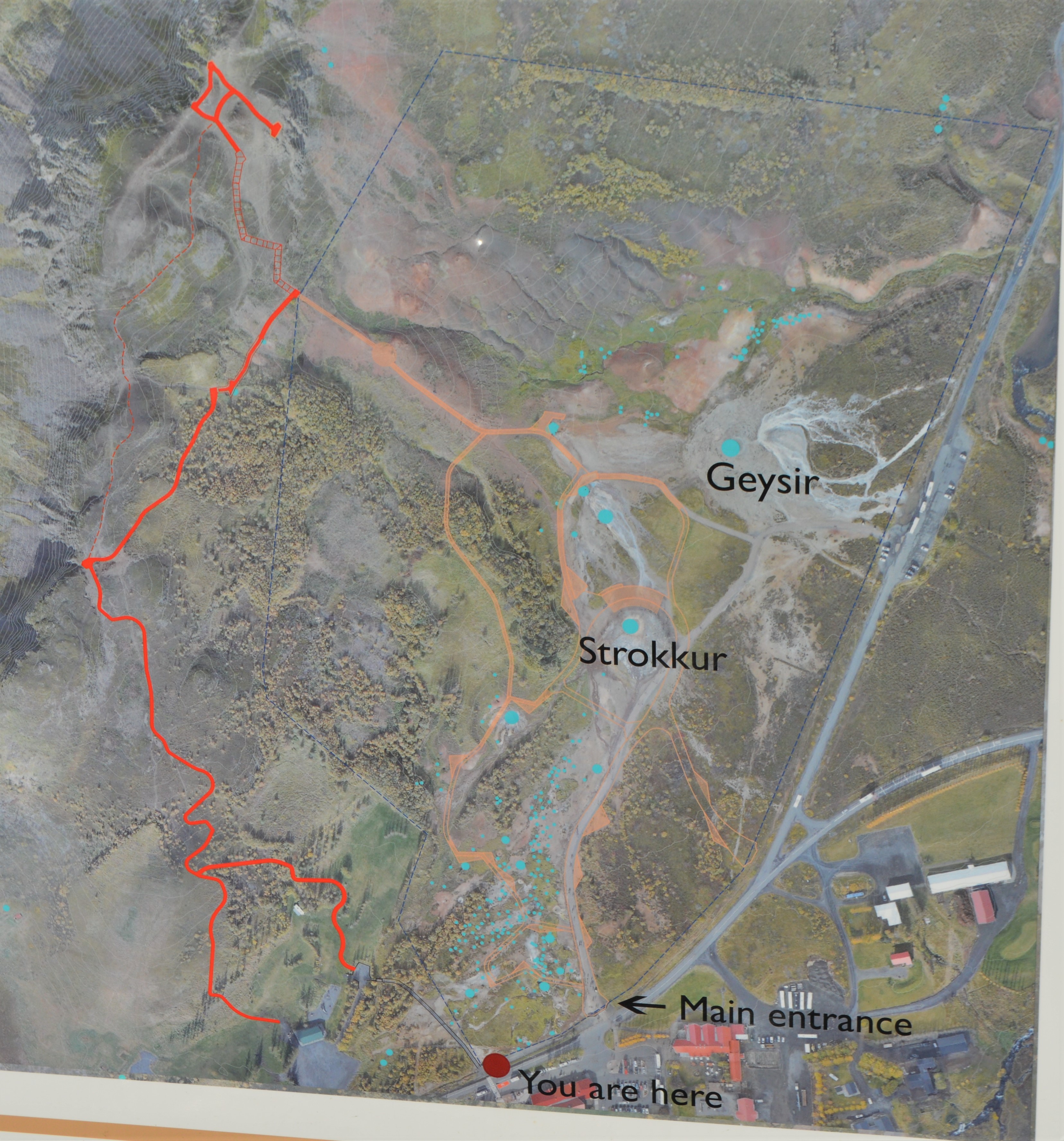

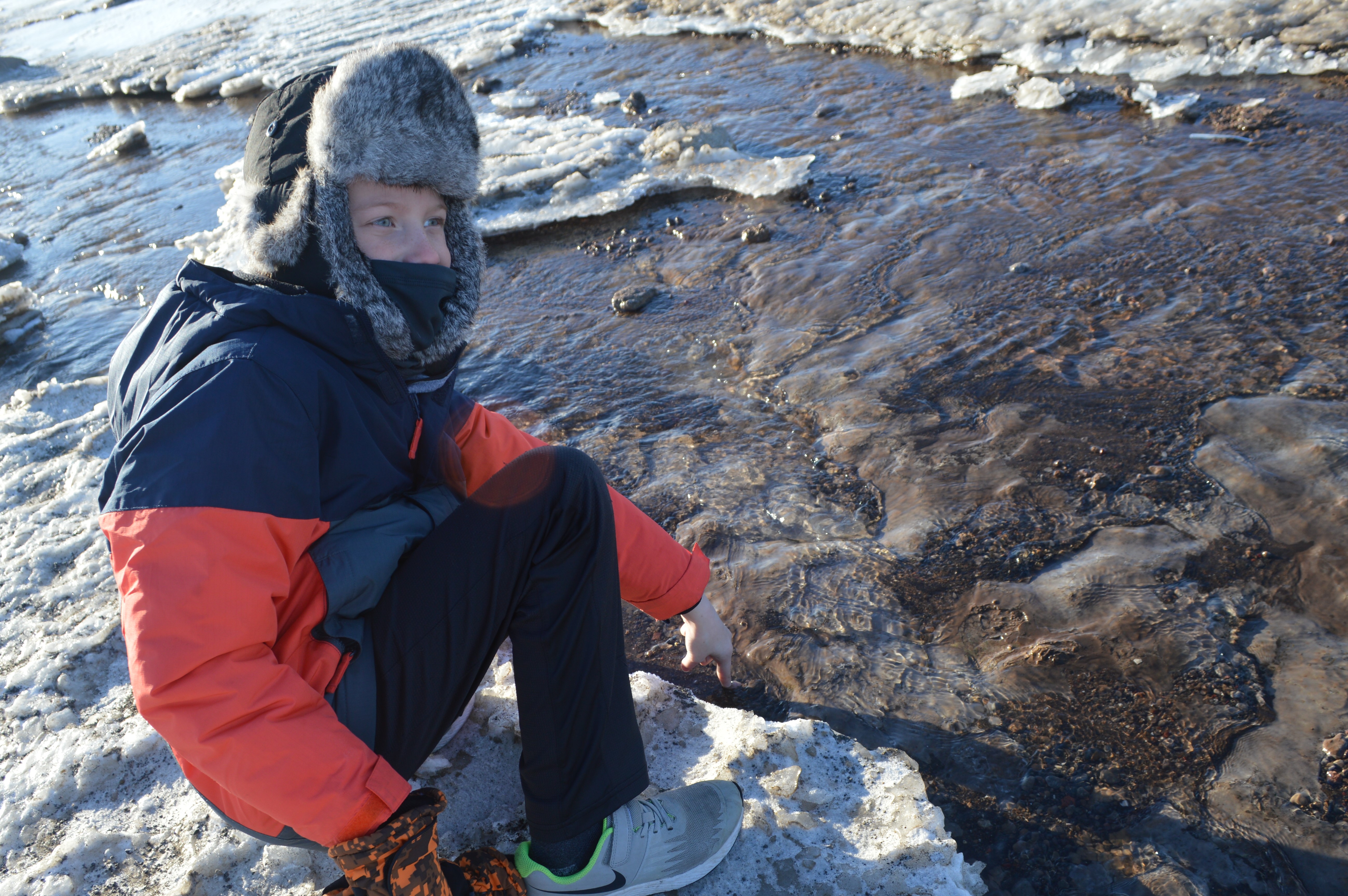
The warm runoff water from the geysers cut a path through the ice.
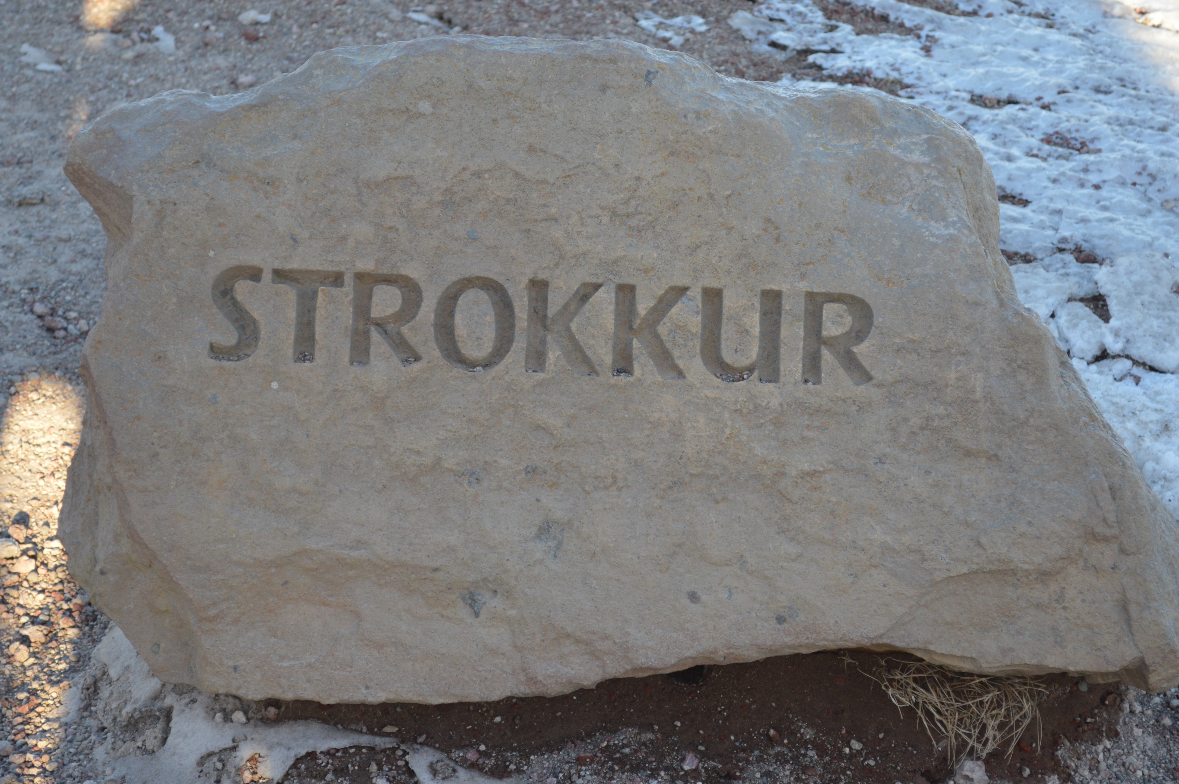
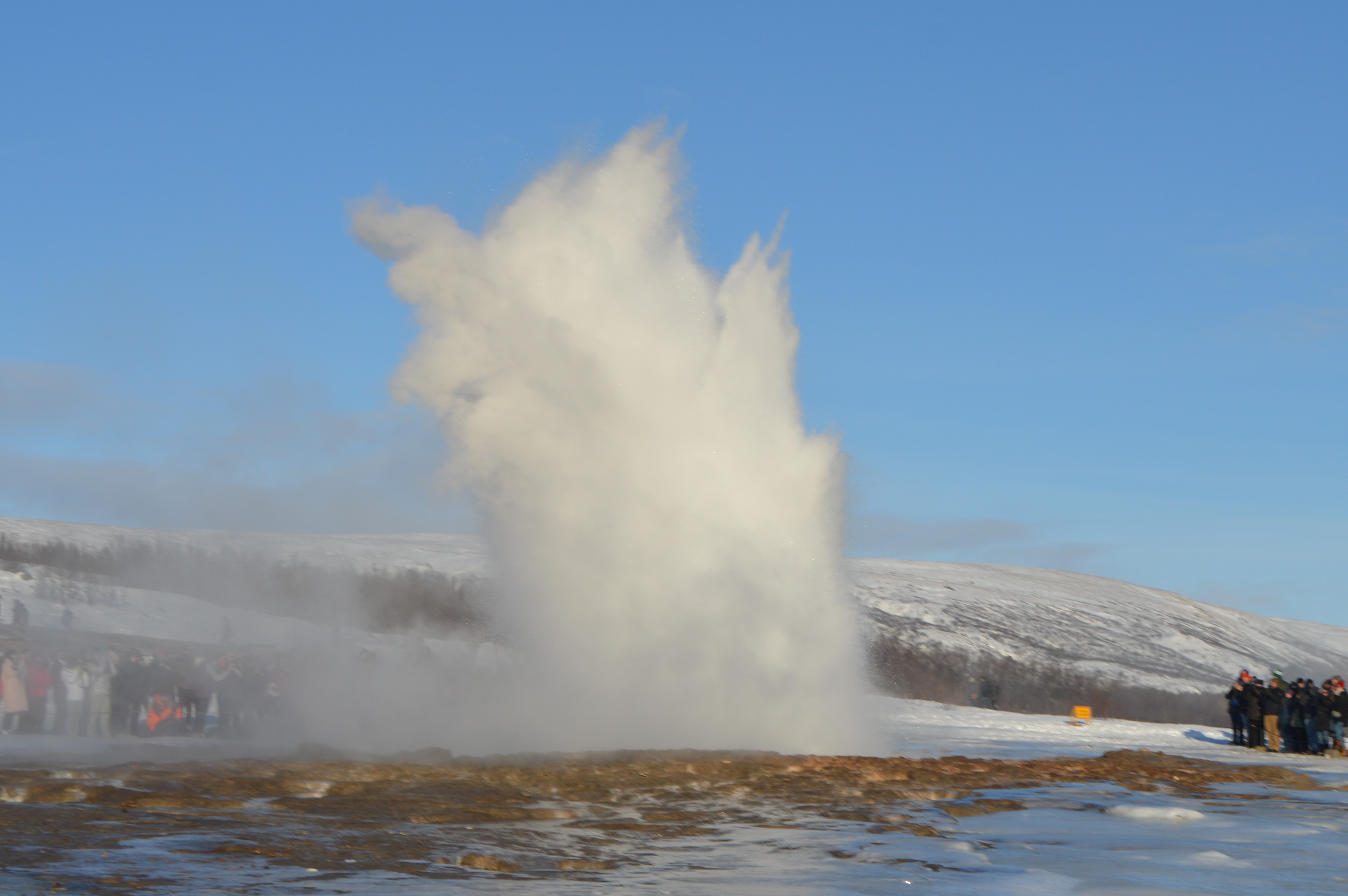
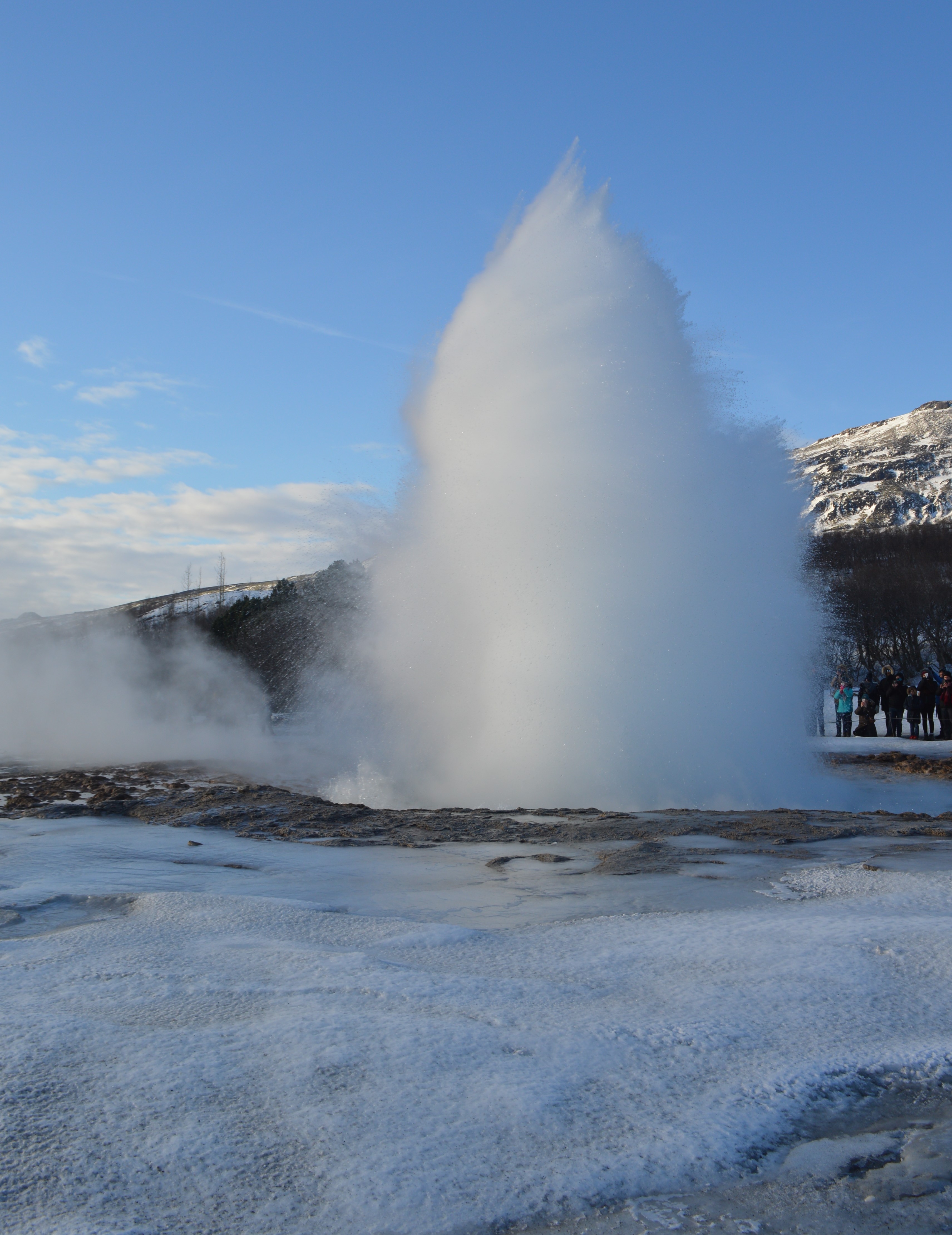
Strokkur is Iceland’s most active geyser, spouting water 100 feet into the air every 4-10 minutes.
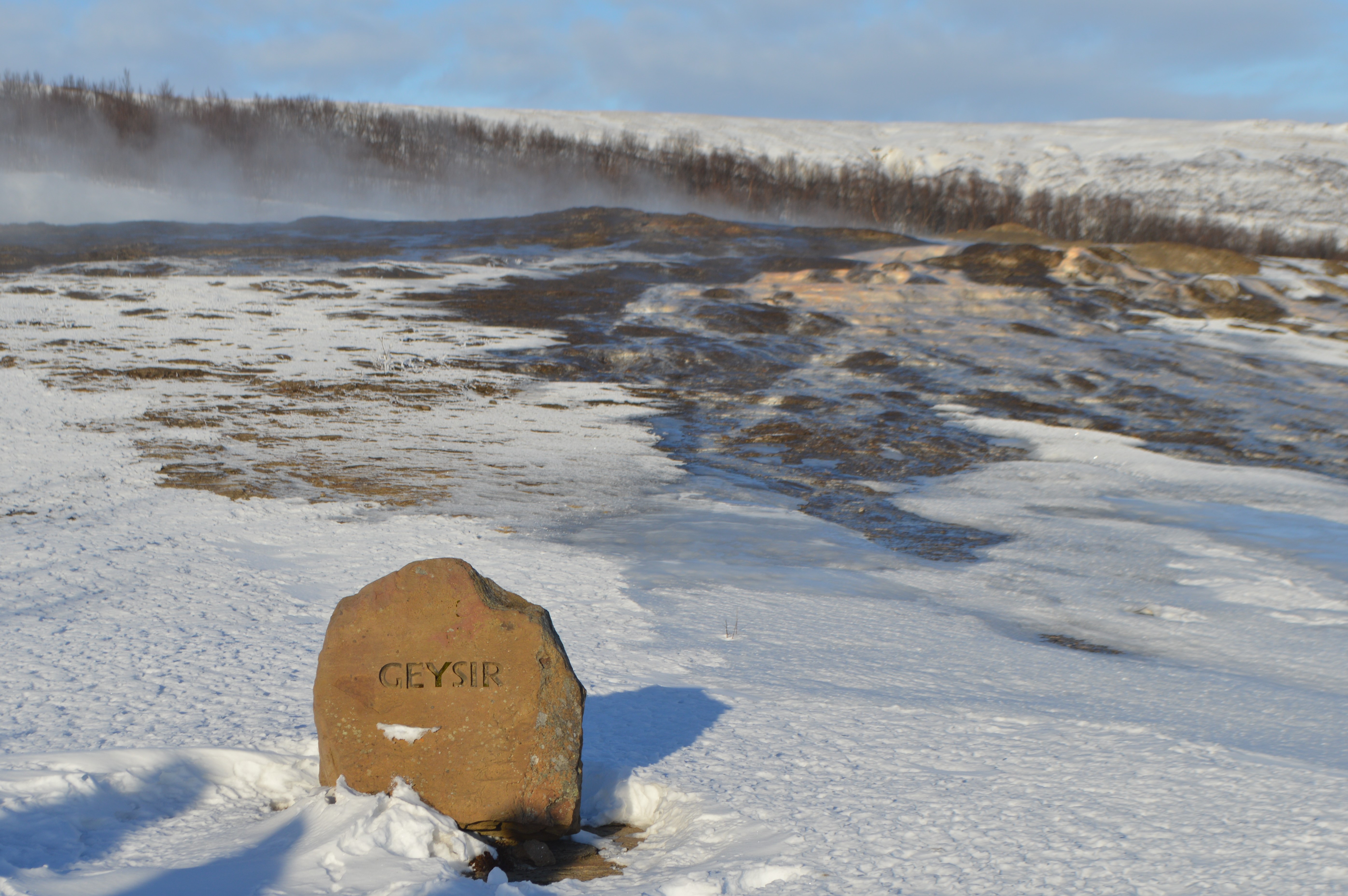
Iceland’s most famous geyser is Geysir. It wasn’t much to look at while we were there, but it is the most famous geyser in the world alongside Old Faithful. Geysir was the first geyser known to Europeans (mentioned clear back in 1294) and it lends its name to geysers all over the world. Seismic activity in the area greatly impacts Geysir’s eruptions. After being dormant for years, an earthquake in 2000 caused eruptions that reached up to 400 feet in height and lasted for two days. This made Geysir one of the highest geysers ever in history. The eruptions continued around eight times a day but slowly decreased, by July 2003 the activity was only happening three times a day. The last time Geysir erupted was February 2016.
Geysir from above
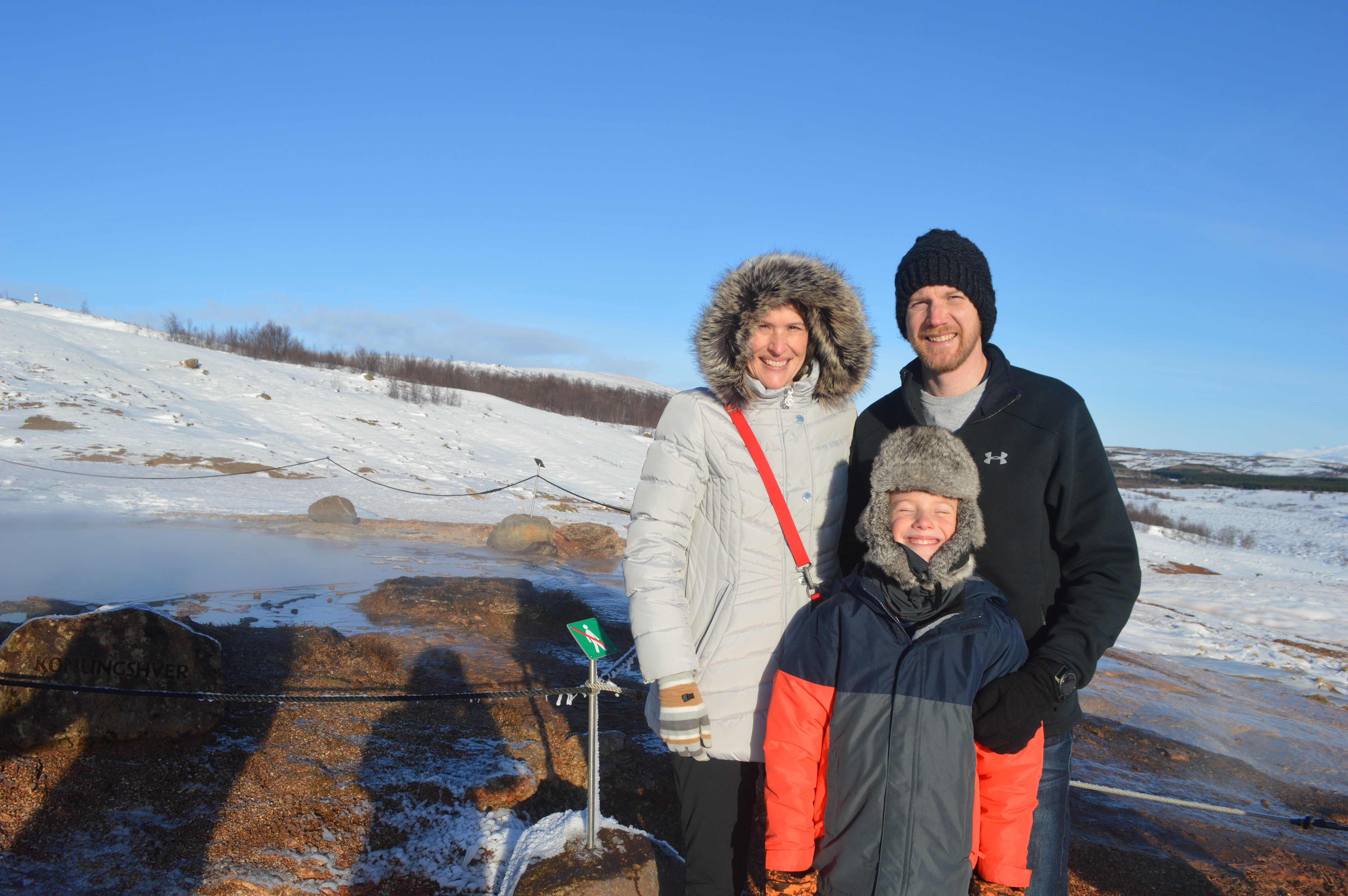
Mom, Carter, and Daddy in front of Konungshver
Carter in front of Blesi

One last eruption from Strokkur on our way out.
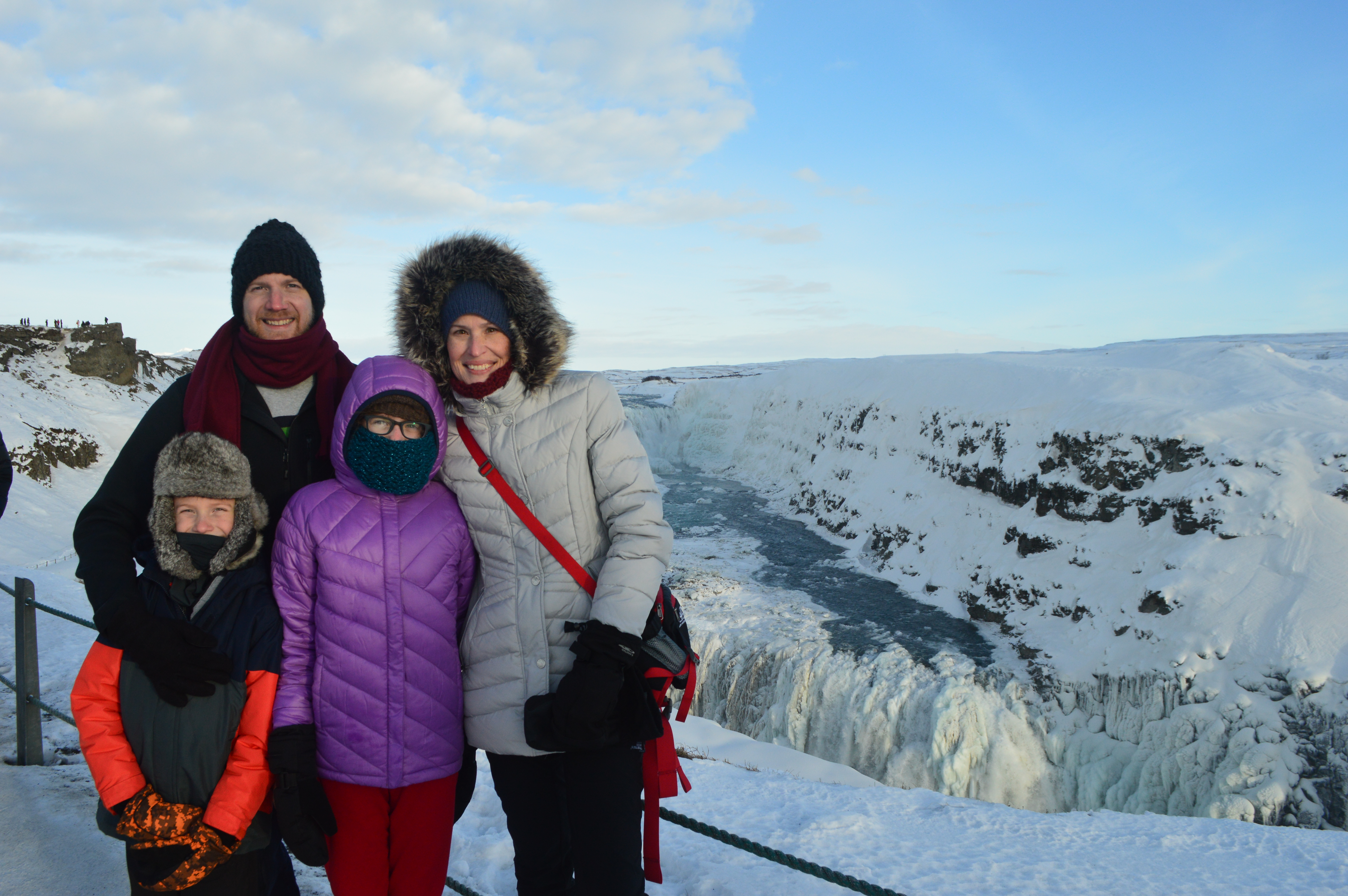
Our next stop was Gullfoss (Golden Falls) waterfall. The Hvítá river flows down into a wide curved three-step “staircase” and then abruptly plunges in two stages (36 feet and 69 feet) into a crevice 105 feet deep. It is pretty unbelievable that water moving that fast and falling that hard could freeze at all.
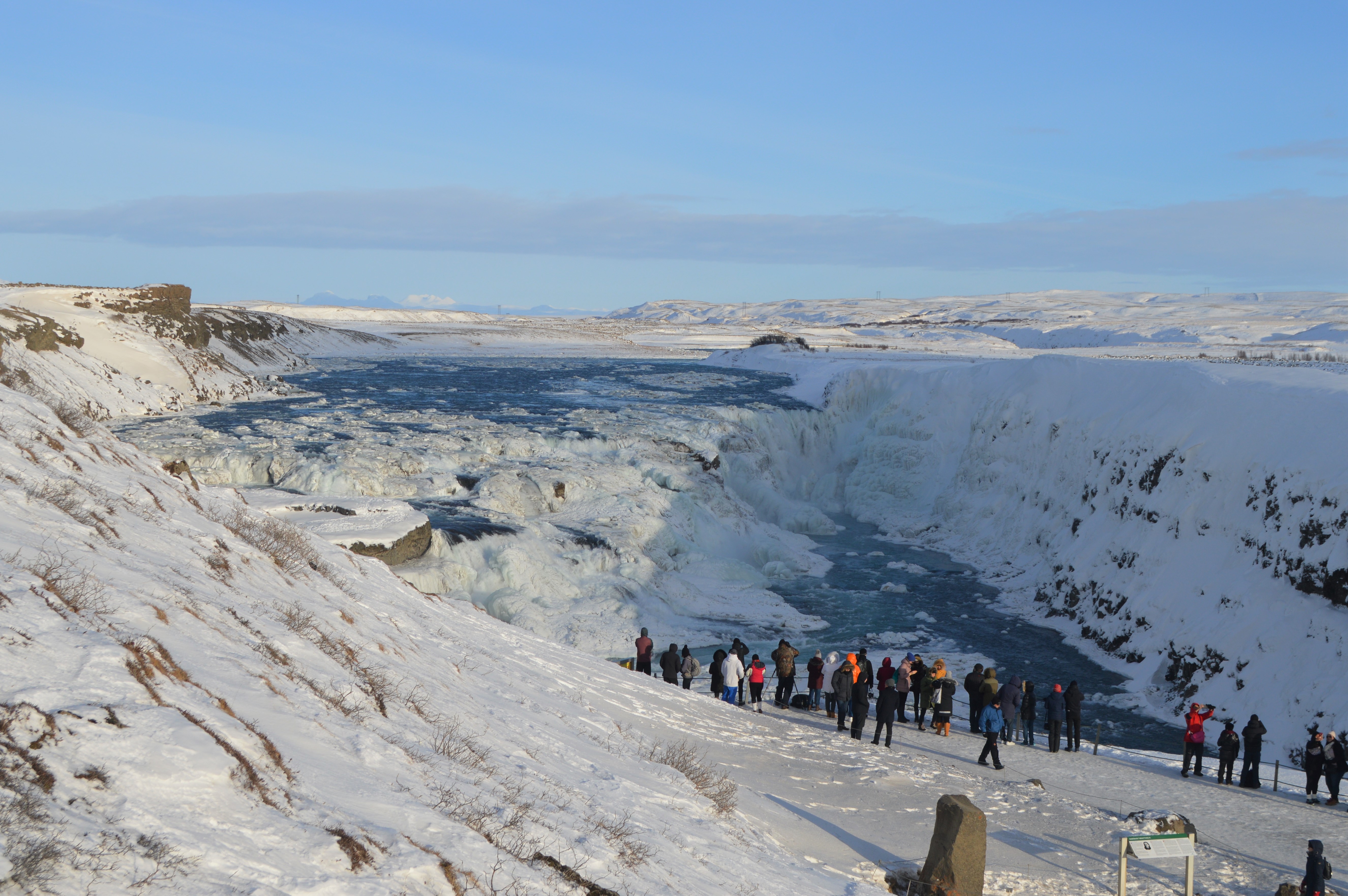
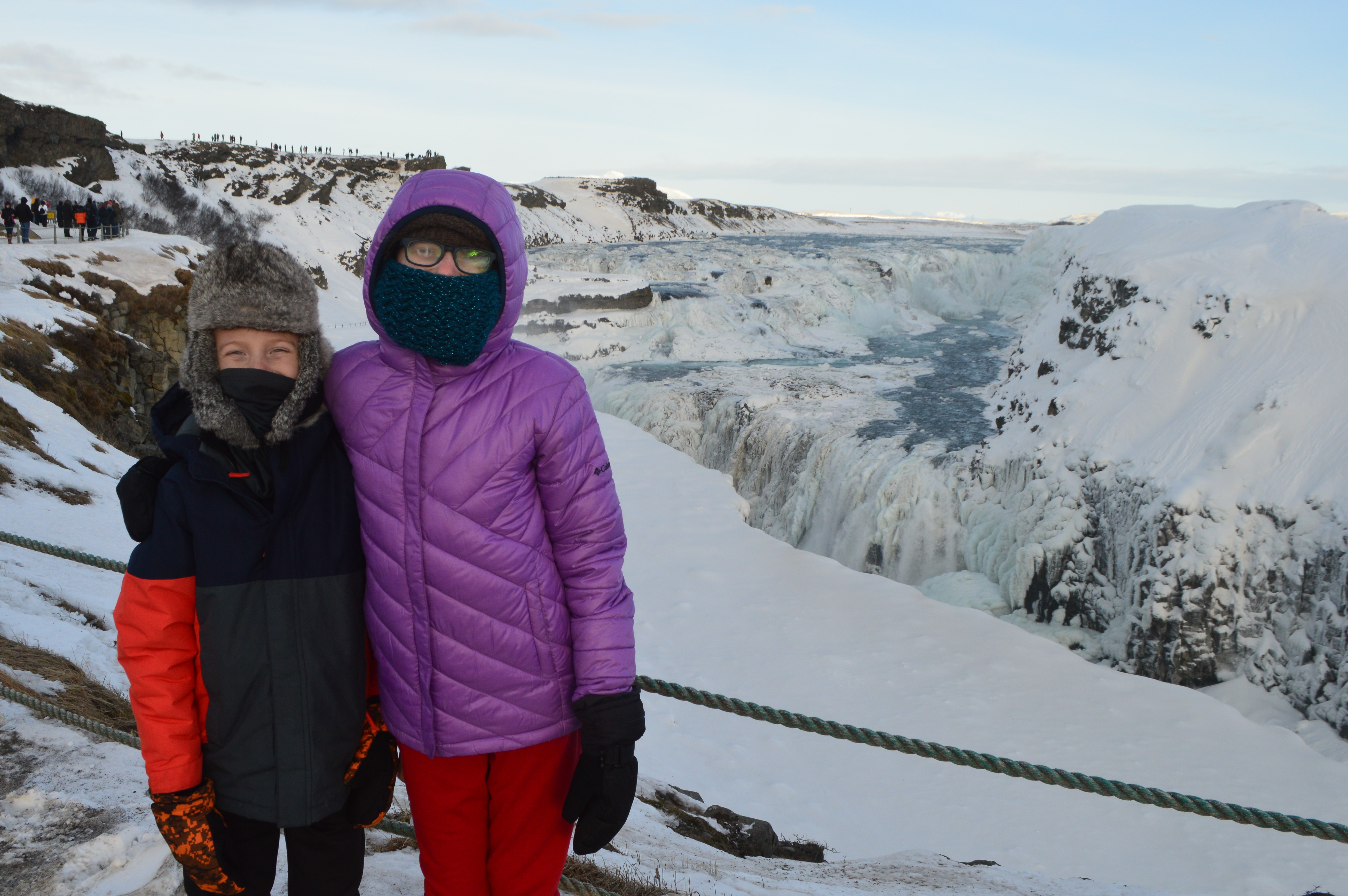
Hiking up and down the icy stairs to the lower viewing area was treacherous, but worth the view.


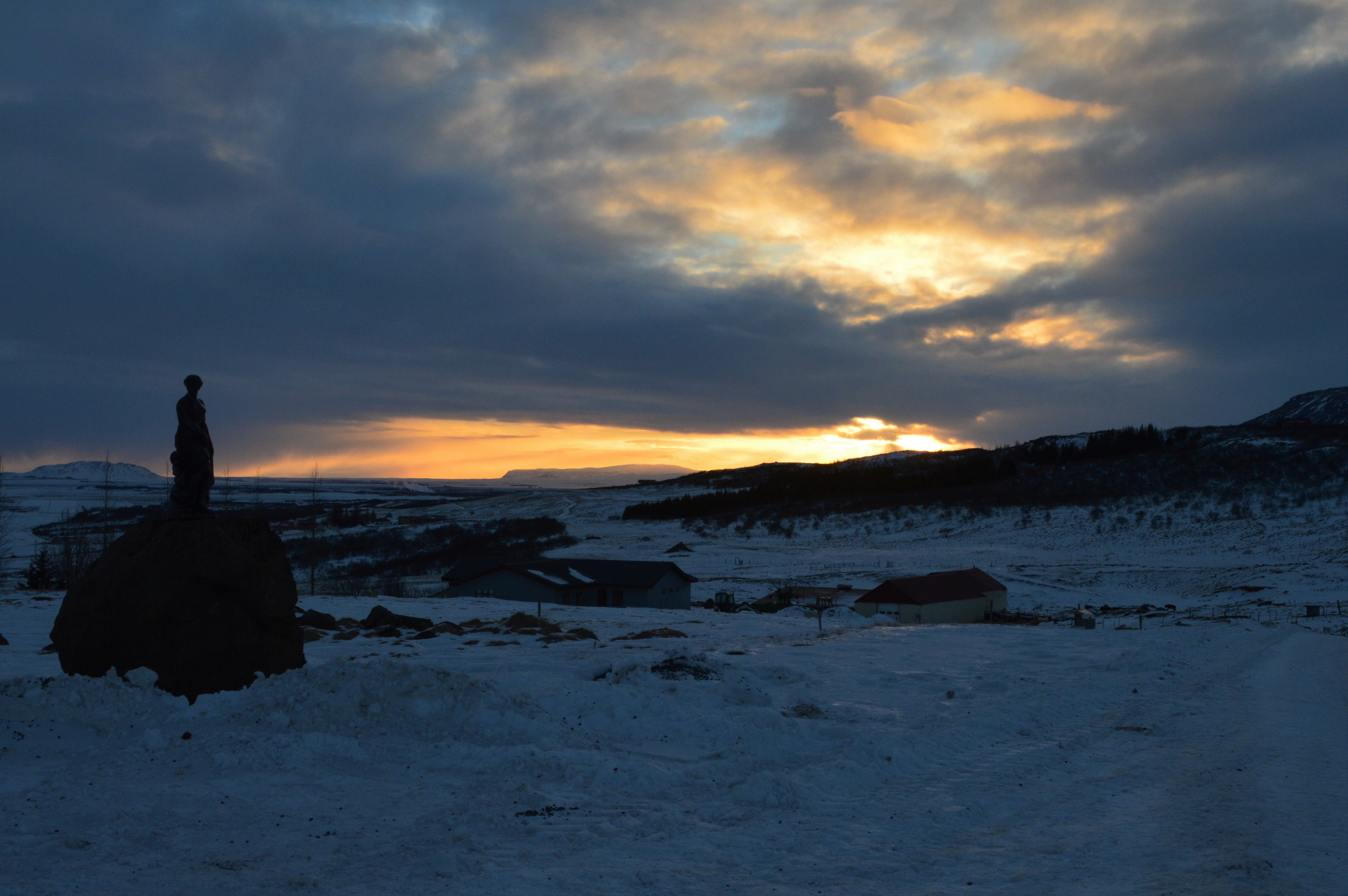
After we were sufficiently frozen, we headed to Úthlíd Cottages where we spent the next couple nights.

Our two-bedroom tiny house was toasty warm and the perfect setting to enjoy Iceland.

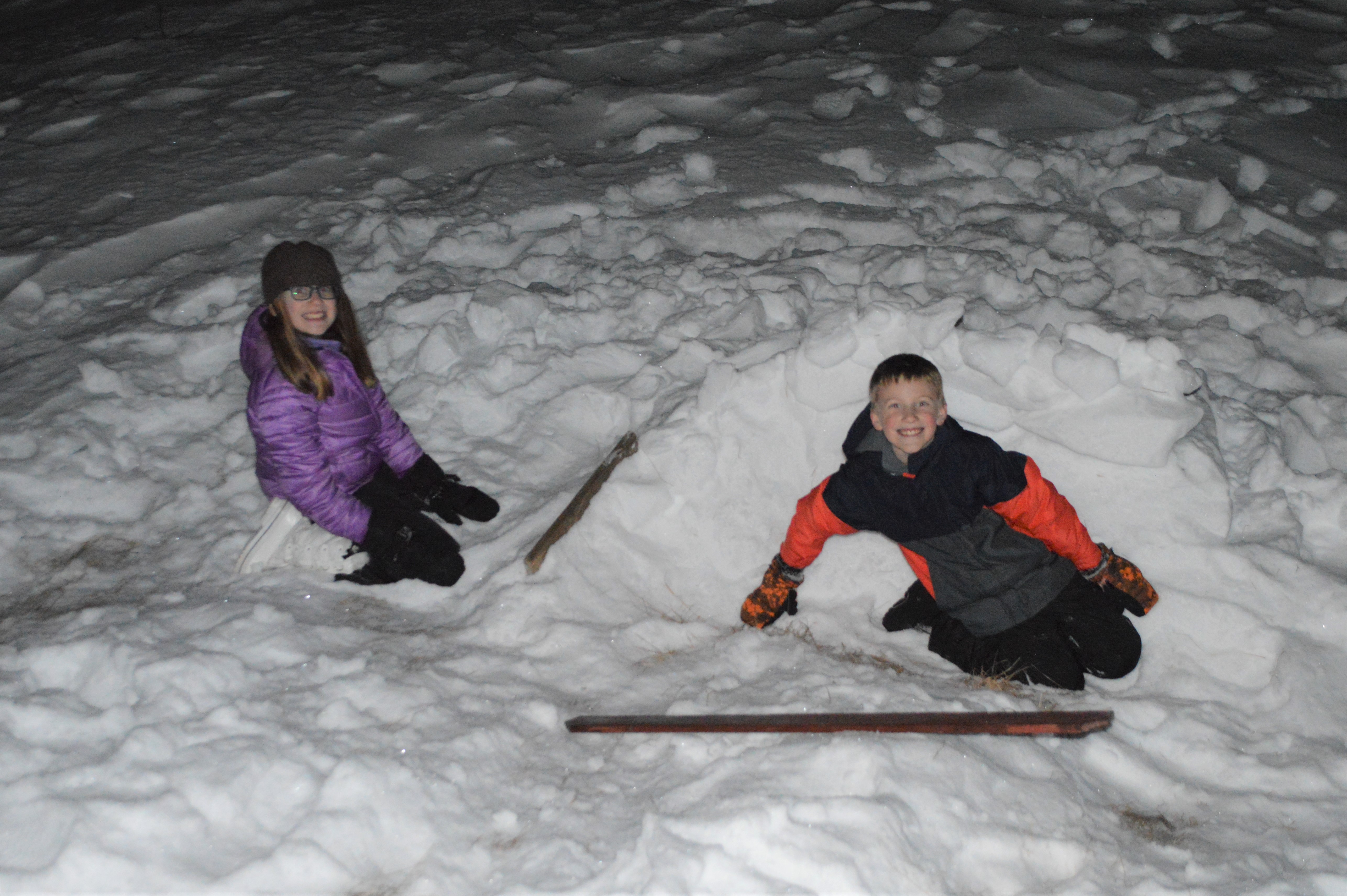
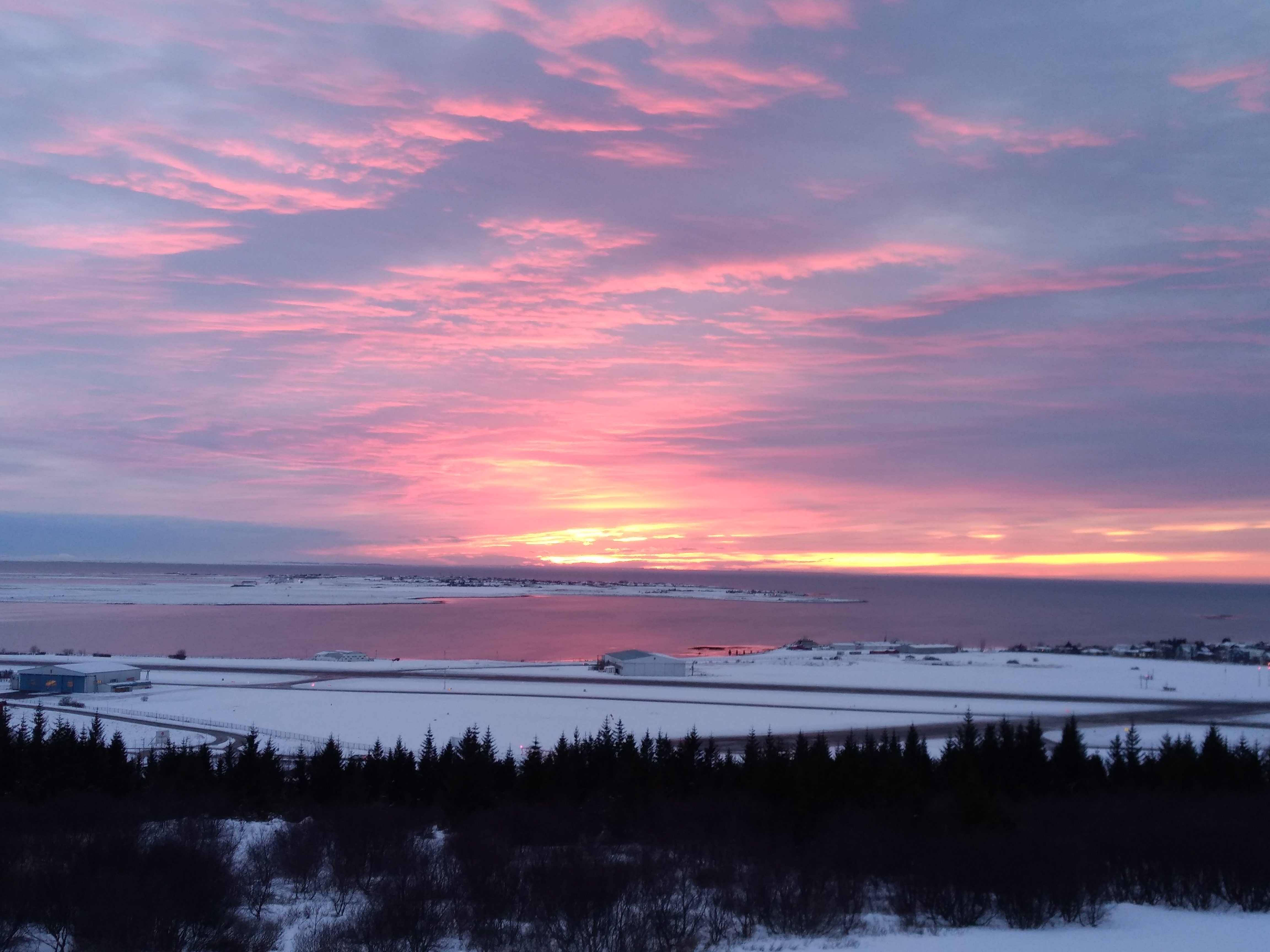
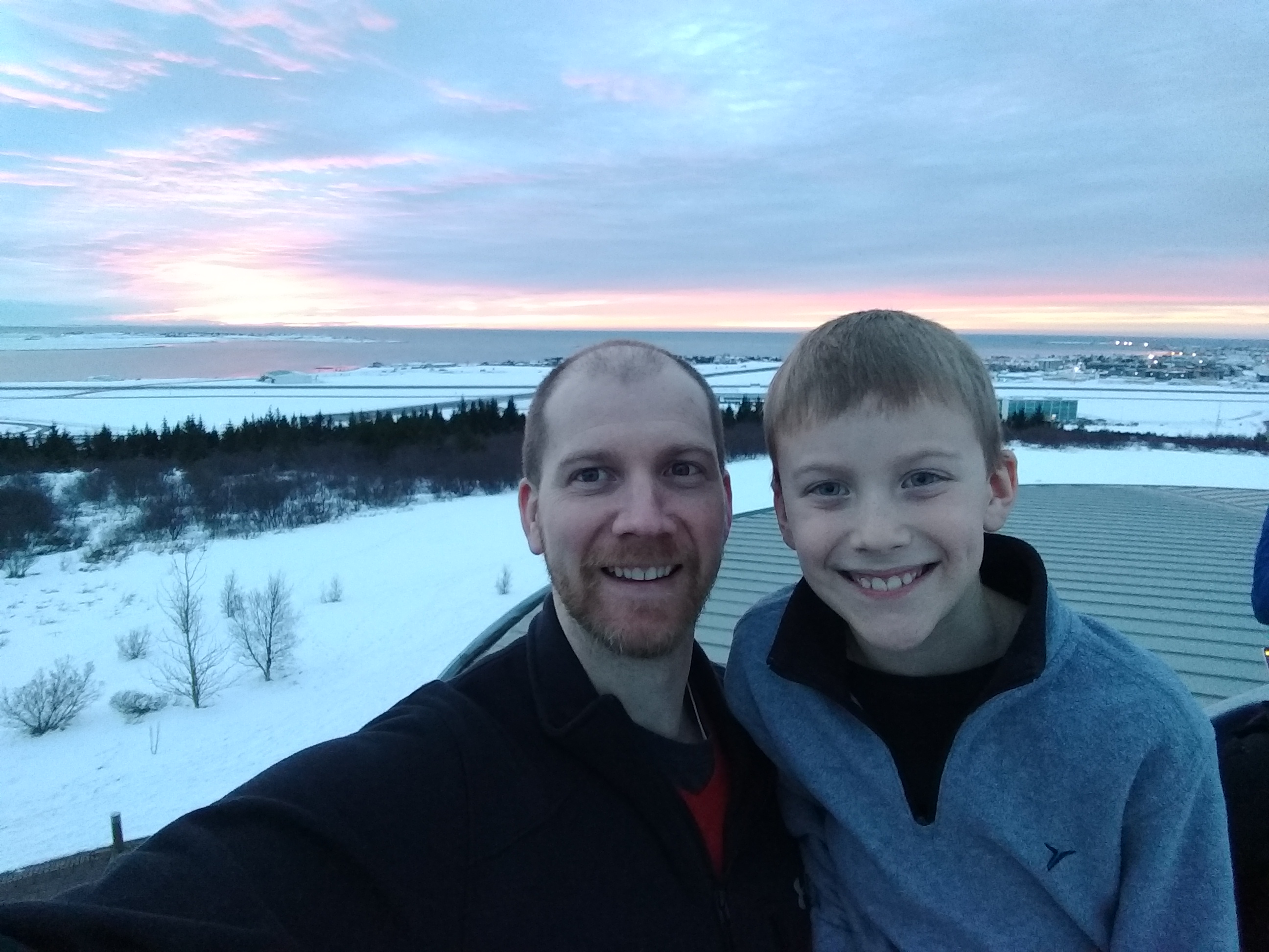
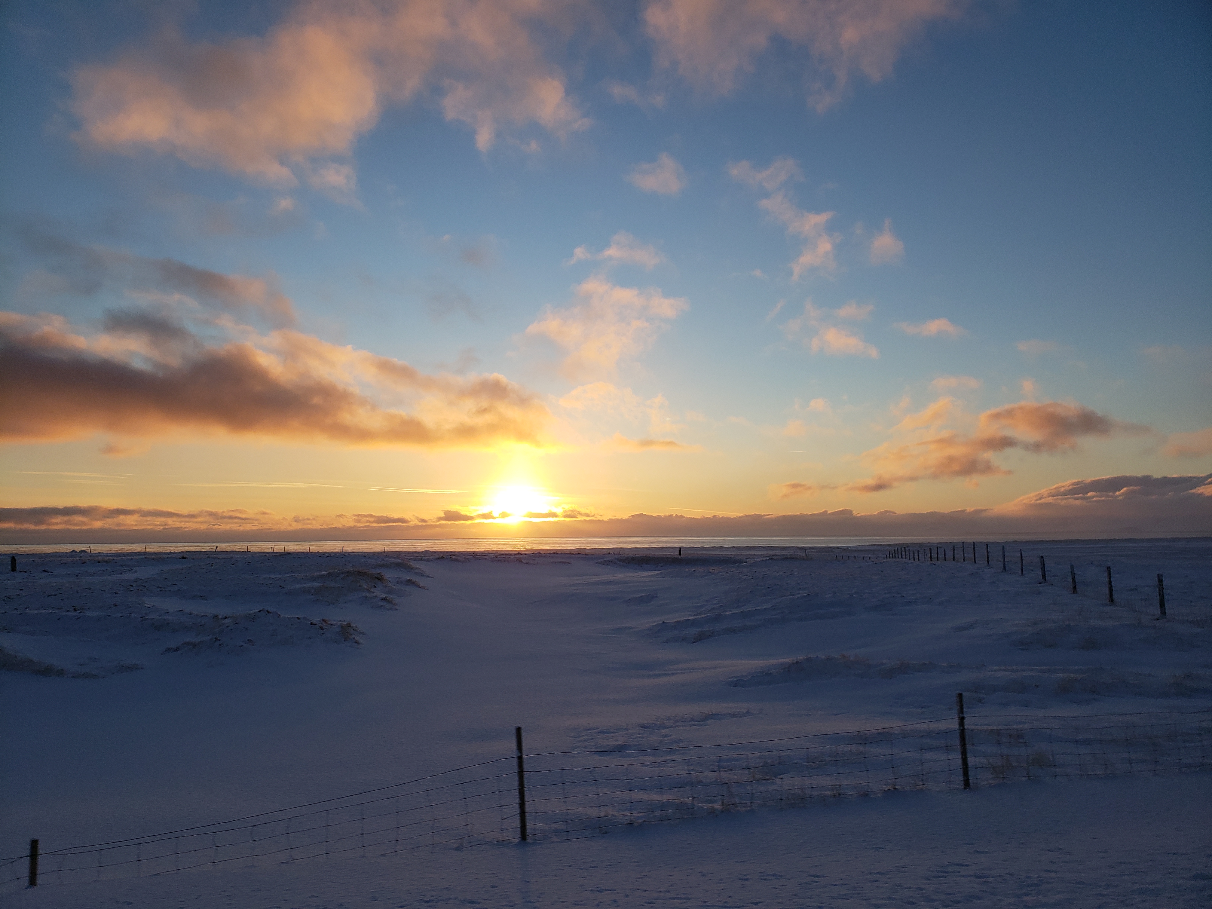
Sunset from the cabin.
Raine and Carter built a snow fort in the drift behind the cabin while we cooked dinner.